
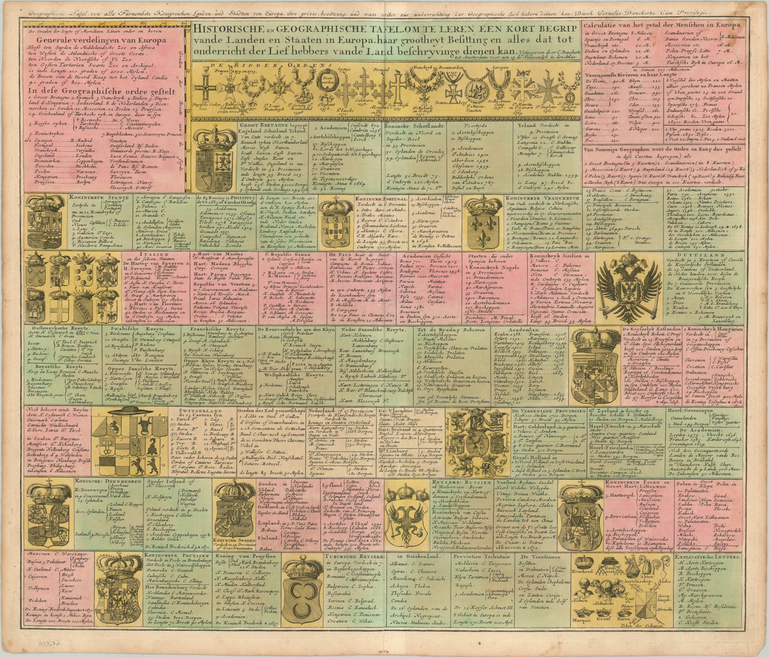
Historische en Geographische Tafel Om Te Leren Een Kort Begrip
Geographic overview of Europe in the early 18th century.
Out of stock
Description
This map was issued by Cornelius Danckerts between 1696 and 1717 in his Nieuwendyk in den Atlas, published in Amsterdam. It provides an interesting overview of the geographic and political situation in Europe.
Coats of arms for major and minor powers are shown and text provides basic information on government, towns, universities, population etc. The symbols for the clergy and knightly orders are also depicted, making this sheet a useful reference for contemporary international affairs.
Map Details
Publication Date: c. 1700
Author: Cornelius Danckerts
Sheet Width (in): 23.60
Sheet Height (in): 20.10
Condition: A-
Condition Description: There's one visible stain in the upper right, but otherwise excellent. Slightly toned paper provides a pleasing overall look.
Out of stock