
Historical Map of New York City
$325.00
An odd juxtaposition of historical commemoration and modern advertising.
1 in stock

Description
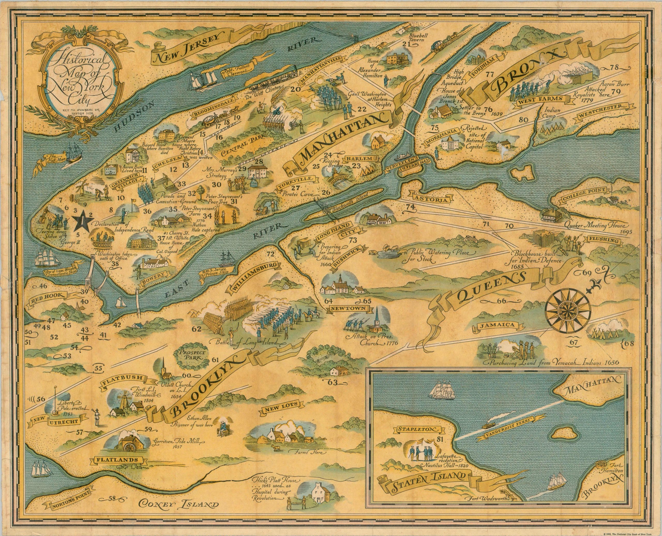
Published near the height of the Great Depression, the National City Bank of New York hoped to commemorate the ‘good ole days’ by sponsoring this Historical Map of New York. Major events dating back to the 17th century, across each of the five boroughs, are illustrated in a charming pictorial style. A handful of ‘modern’ elements are interspersed throughout the image, including 20th-century bridges, the Vanderbilt Ferry to Staten Island, and the locations of over eighty regional branches of the National City Bank (listed on the verso).
Map Details
Publication Date: 1932
Author: National City Bank of New York
Sheet Width (in): 20.50
Sheet Height (in): 16.75
Condition: B
Condition Description: Formerly lacquered and mounted onto a heavy backing board, with expert conservation resulting in a clean lift and varnish-free image. Unfortunately the sheet remains a bit wavy and moderately toned, with some visible vertical streaks. Marginal wear (possibly trimmed), with two tiny chips along the center edges requiring infill (only the border). Some abrasions on the verso that obscure some of the text (see scan). Professionally restored to about good condition.
$325.00
1 in stock