
Historical Map of Ireland
$60.00
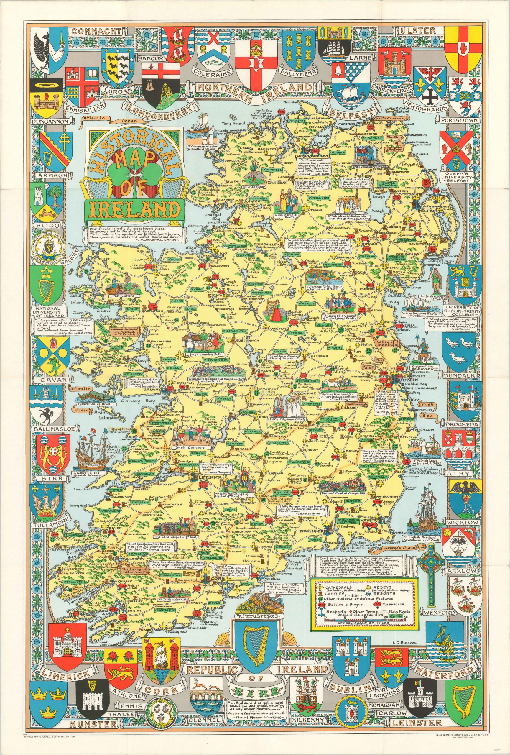
Eye-catching map of Ireland published in the early days of The Troubles.
1 in stock
Description
This lovely pictorial map attempts to distill the entire breadth of Irish history into one static image. The result is largely Anglicized, with a few exceptions.
Illustrations and accompanying annotations cover many of Ireland’s historical high and low points – St. Patrick’s arrival in 432, the Famine of the 19th century, and Tyrone’s Rebellion among them. Several also reference cultural aspects like dancing, the harp, and ‘Irish County Folk’. A variety of symbols identify cathedrals, abbeys, castles, resorts, battle sites, and massacres according to the legend in the lower right.
The first two were of particular relevance at the time of publication, as the ongoing political conflict known as The Troubles was largely divided along religious lines.
Drawn by L.G. Bullock and published in Edinburgh by John Bartholomew & Son in 1969.
Map Details
Publication Date: 1969
Author: L.G. Bullock
Sheet Width (in): 26.50
Sheet Height (in):
Condition: B+
Condition Description: As originally issued, folded into 16 segments and affixed to original paper covers. Creasing and minor wear along fold lines and one small pinhole at a fold intersection. Within the image there is some old highlighting across the center of the sheet.
$60.00
1 in stock