
Historical Atlas of the World Illustrated
An interesting composite atlas of Ohio and the rest of the world.
Out of stock
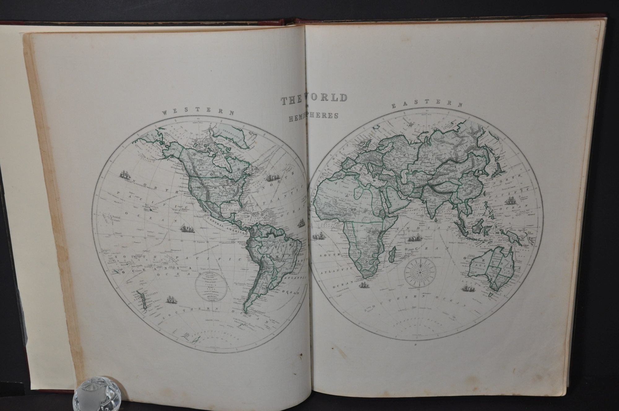


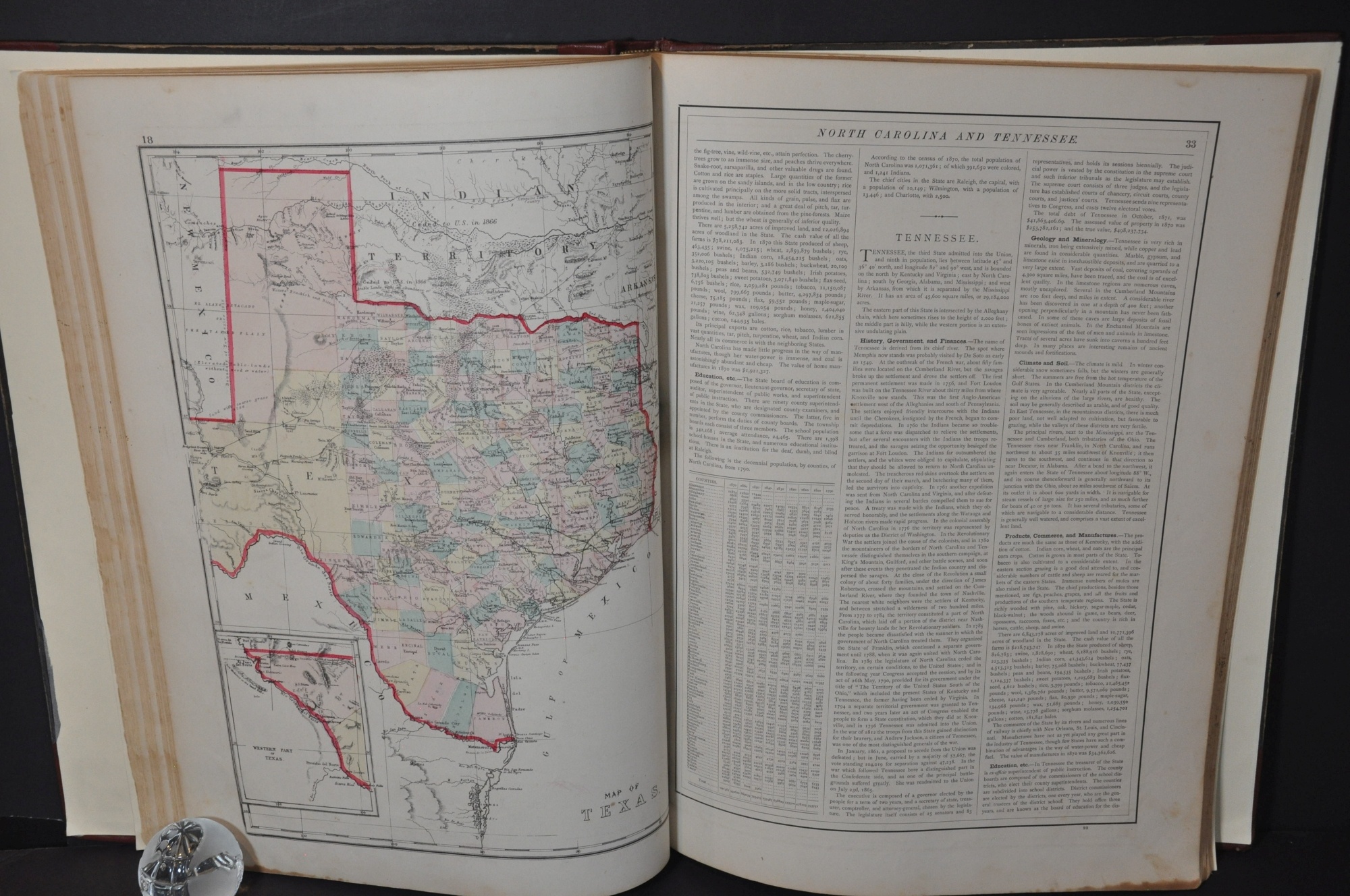


Description
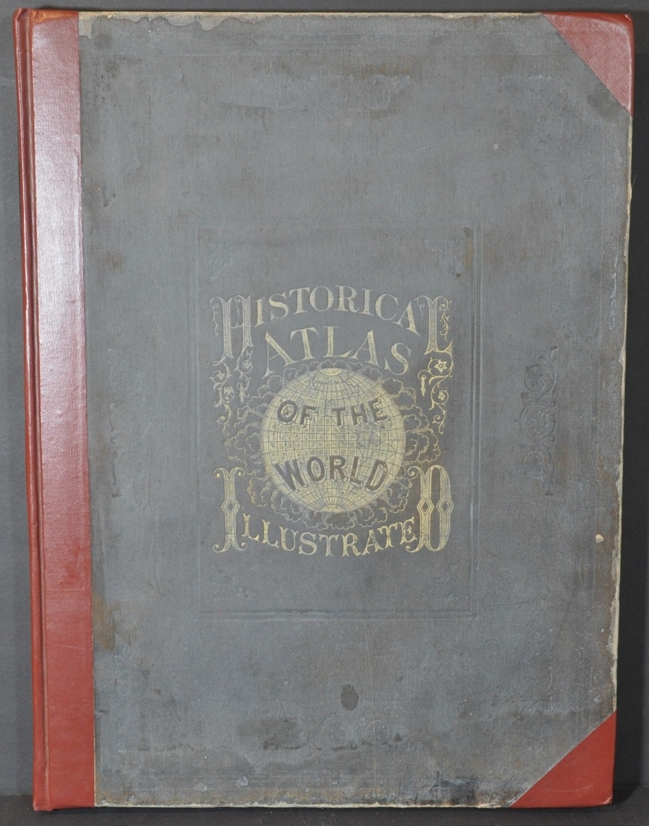
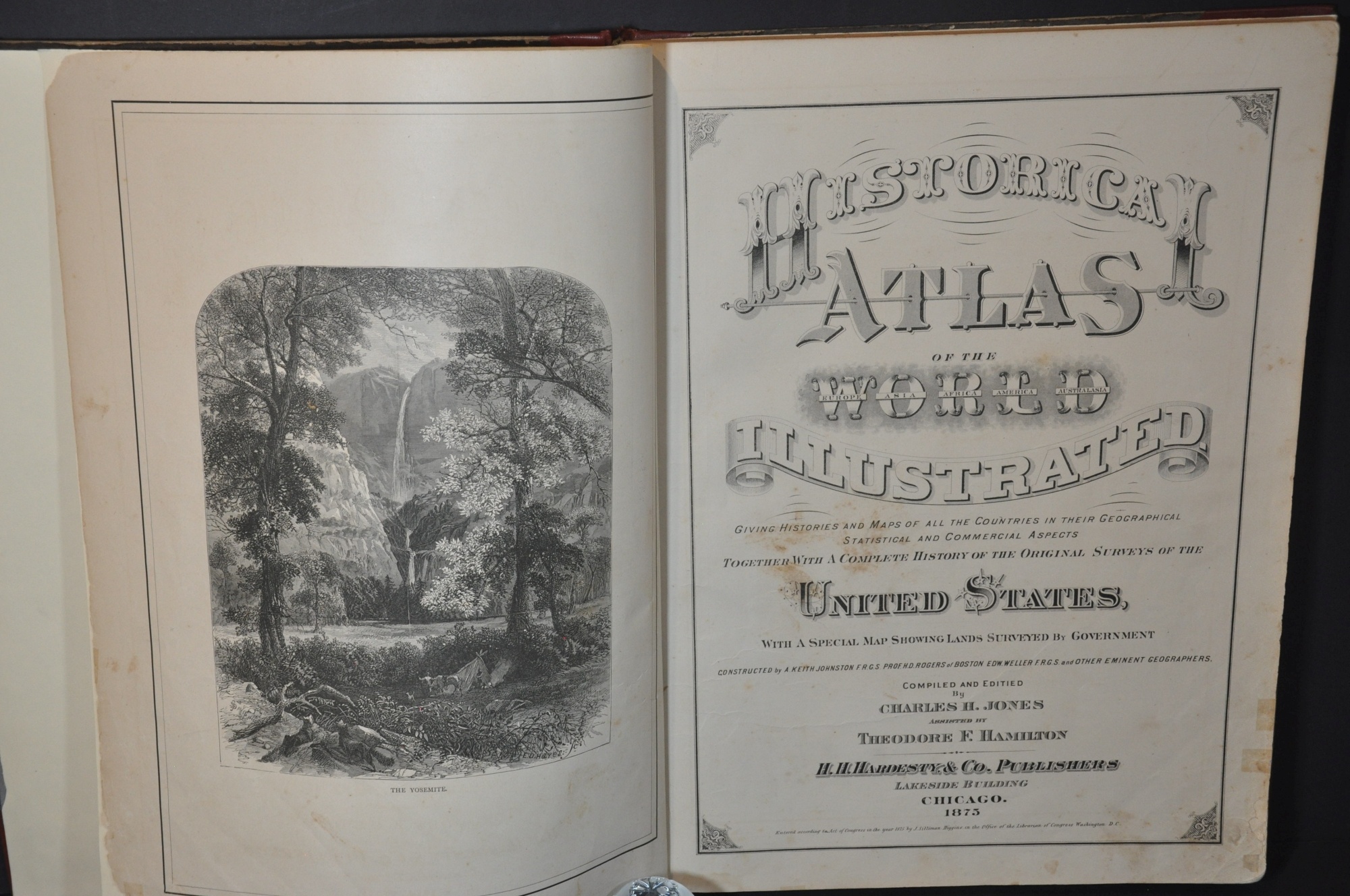
This intriguing late 19th-century atlas was compiled and edited by Charles Jones and published in Chicago by H.H. Hardesty & Company in 1874. The title page credits Alexander Keith Johnston, Edward Weller, and other ‘prominent geographers’ for their contributions.
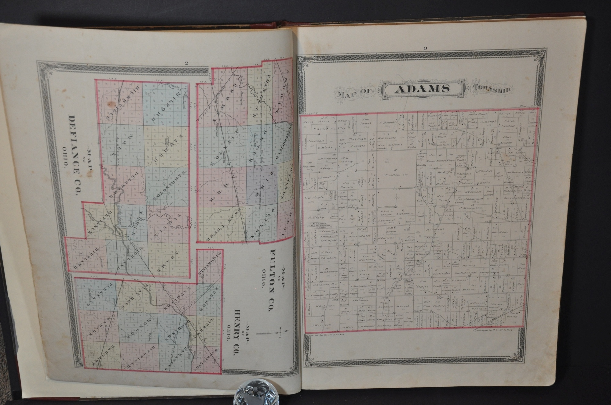
The contents are a fascinating mix of county atlas and broader world geography, both of which were highly popular at the time of publication. The first fifteen single-page maps cover the townships of Defiance County, Ohio; with accompanying views, biographies, and portraits of its well-to-do citizenry.
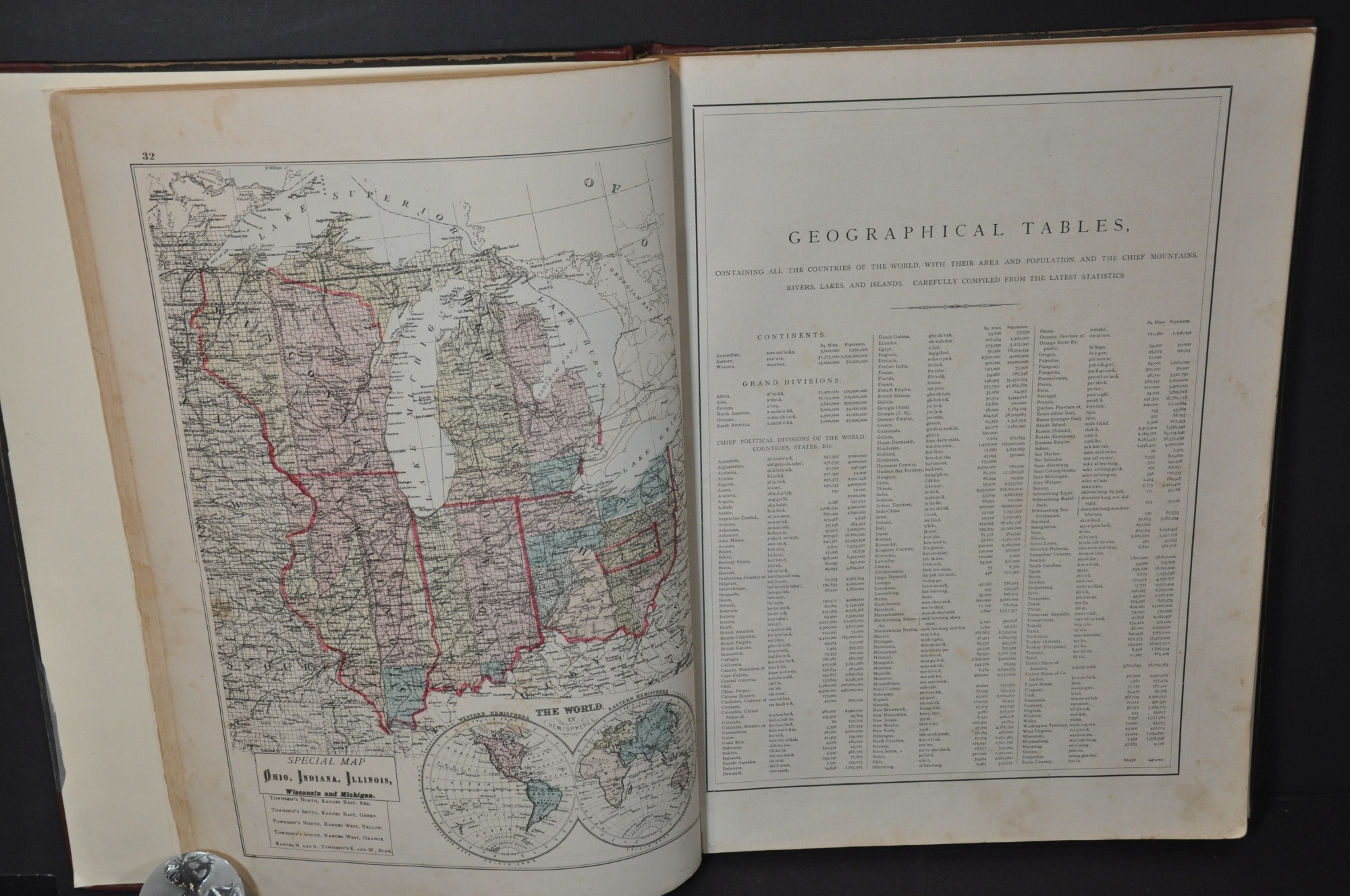
Immediately following is a more typical world atlas, with both single and double-page maps showing the majority of countries across the world. Descriptive historical summaries are included with each map, along with additional illustrated vignettes. Among them are views of Yellowstone, recently established as America’s first national park, and ongoing construction on the Brooklyn Bridge (opened in 1883).
Map Details
Publication Date: 1876
Author: H.H. Hardesty & Co.
Sheet Width (in): 19.50
Sheet Height (in): 15
Condition: A-
Condition Description: Elephant folio, professionally rebound with original gilt cloth covers. New leather spine, corners, and endpapers. Contents have also been largely repaired with archival materials, though moderate wear and spotting is evident on a number of sheets. Mild soiling like fingerprints and tiny spots throughout, with minor edge wear consistent with age. Complete, with 40 single page and 13 double page maps, plus views, numerous pages of text, and contemporary advertisements.
Out of stock