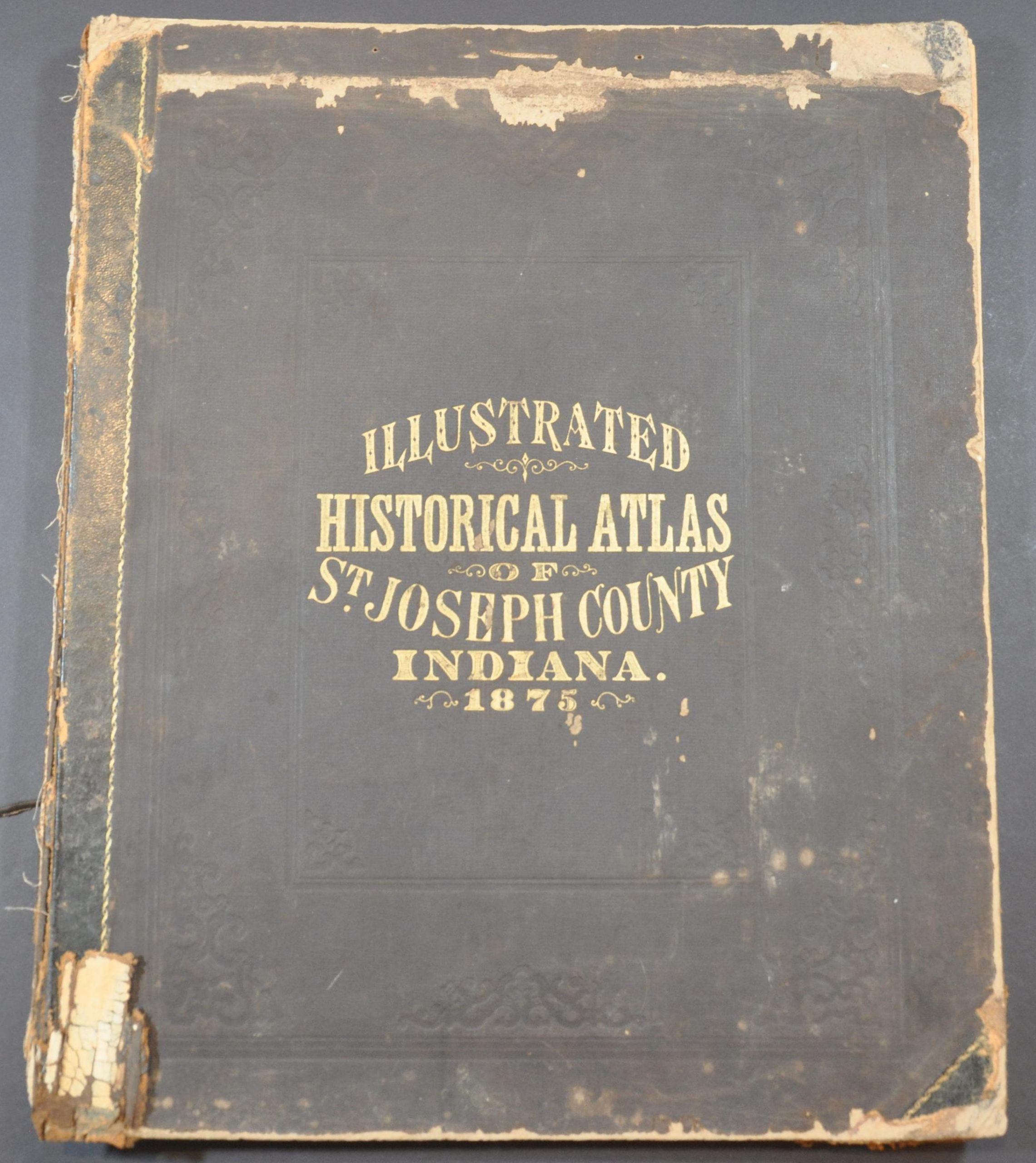
Historical Atlas of St. Joseph County, Indiana
Charming late 19th century atlas of St. Joseph County, Indiana.
Out of stock


Description
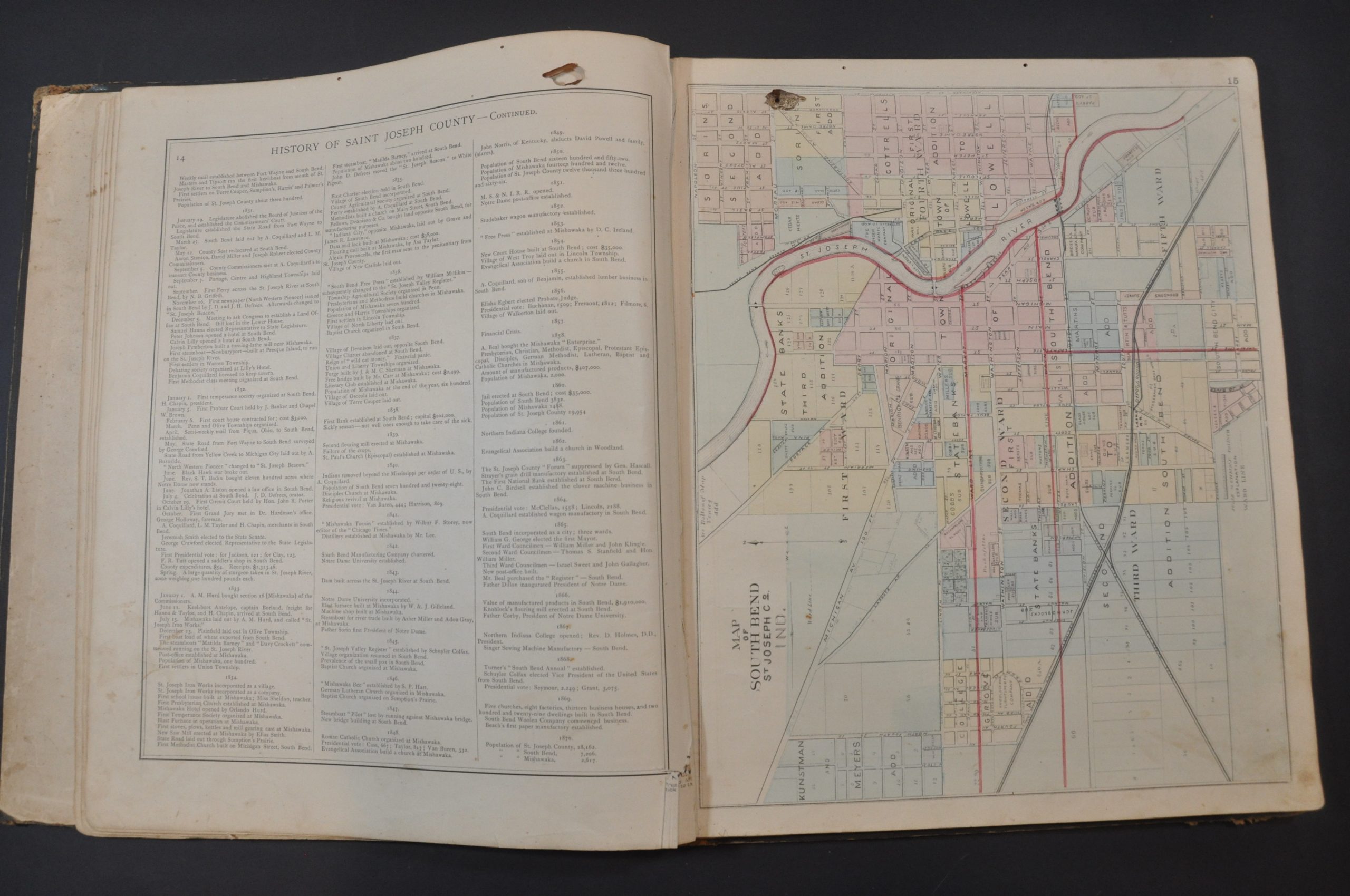
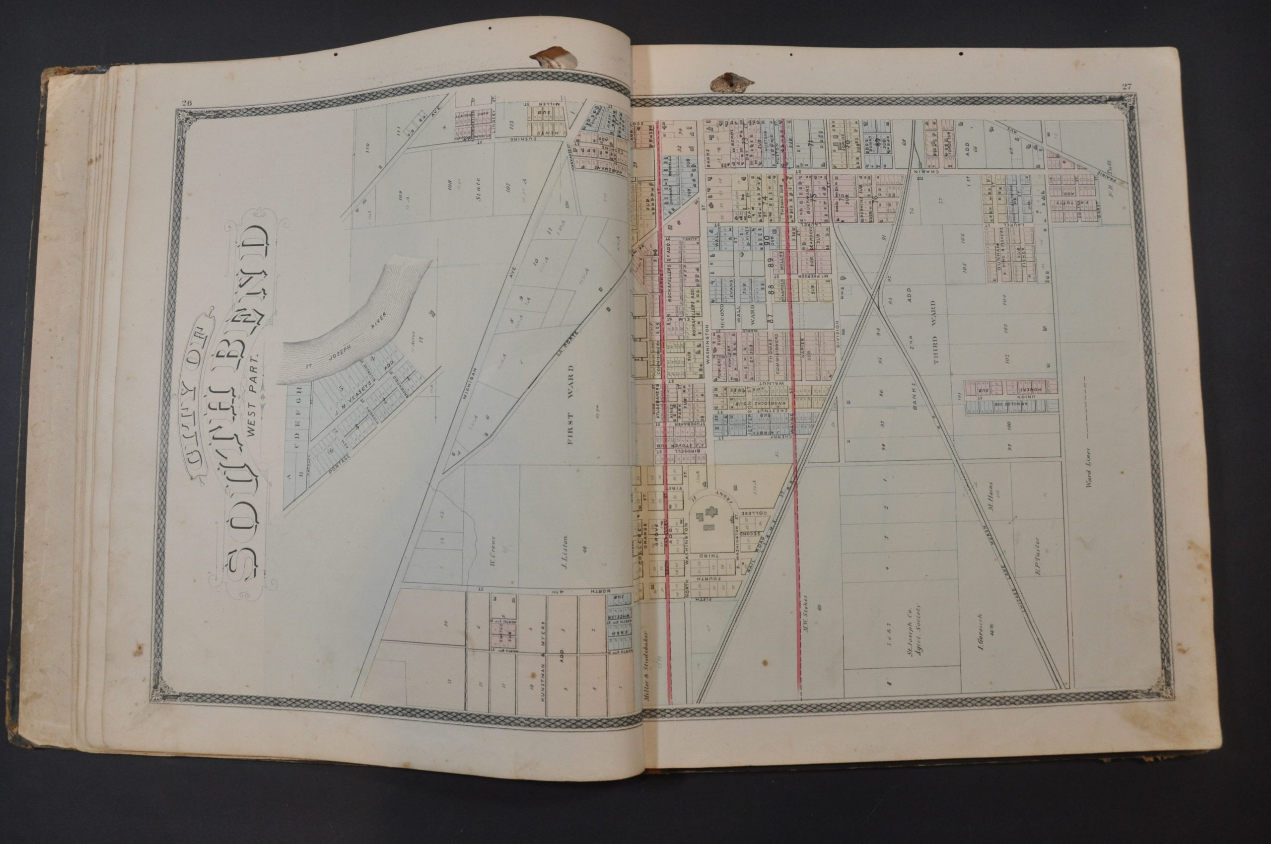
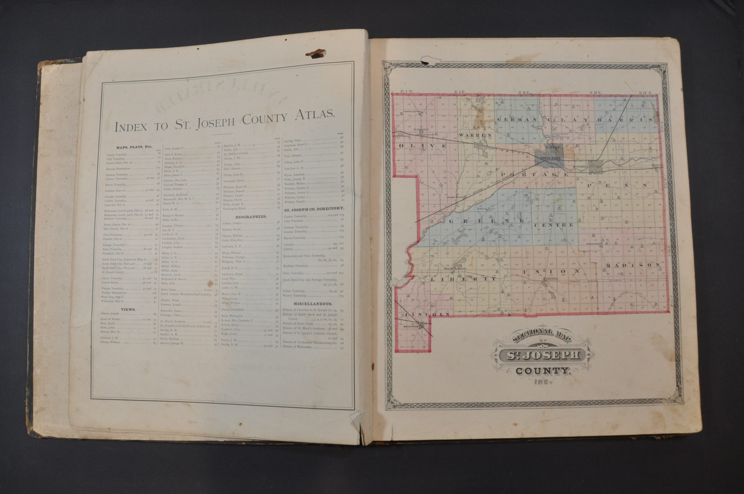
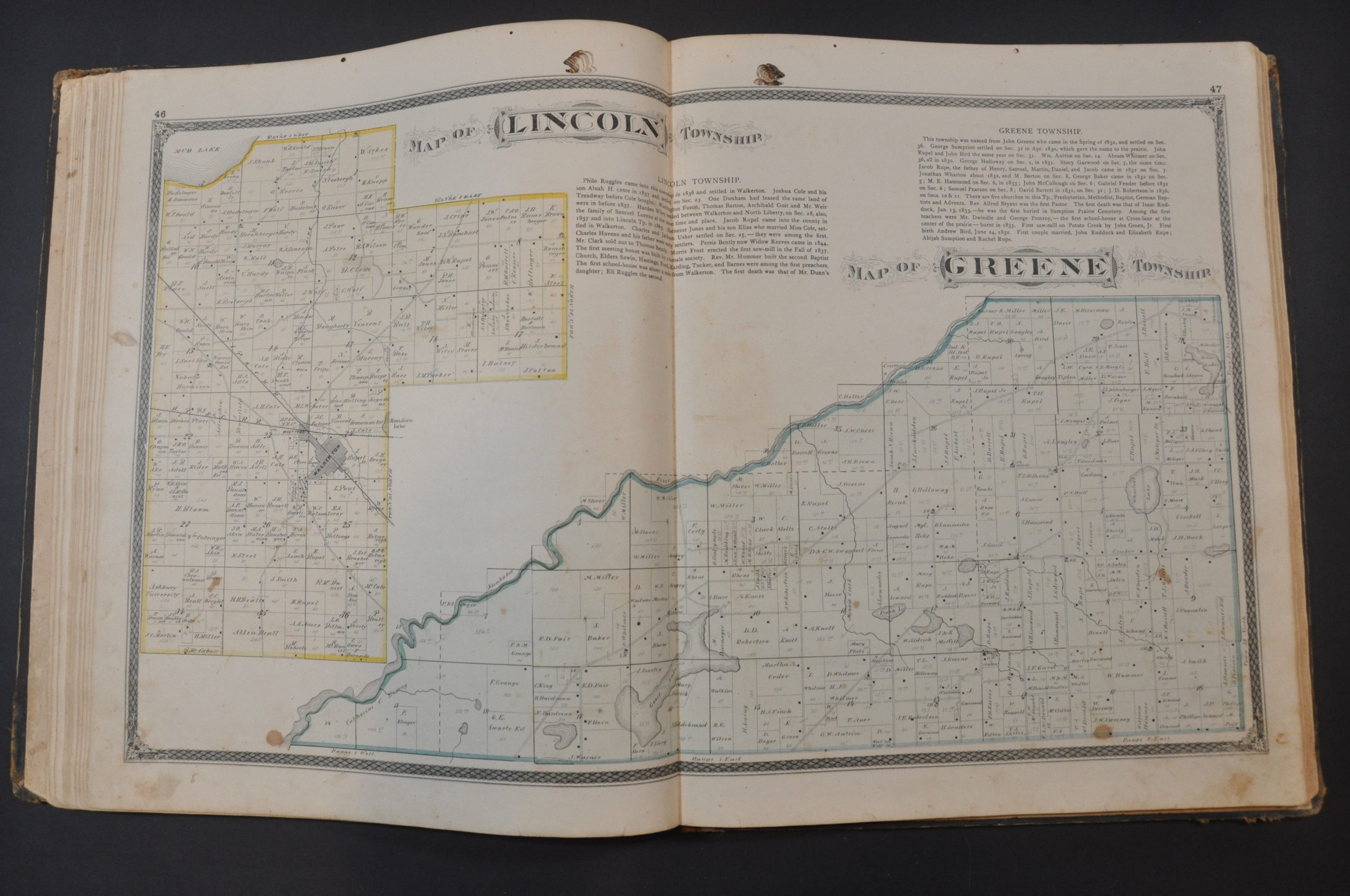
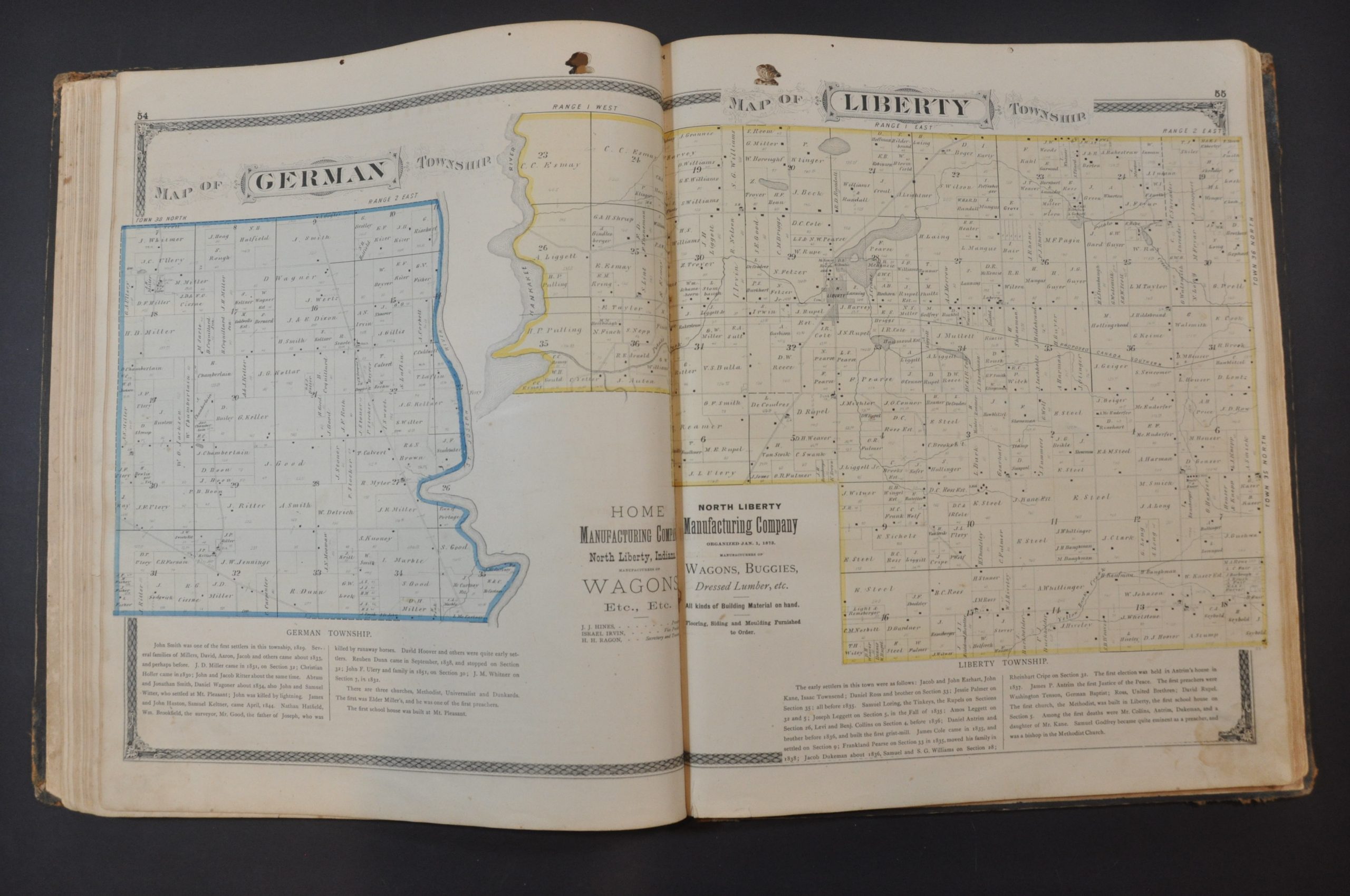
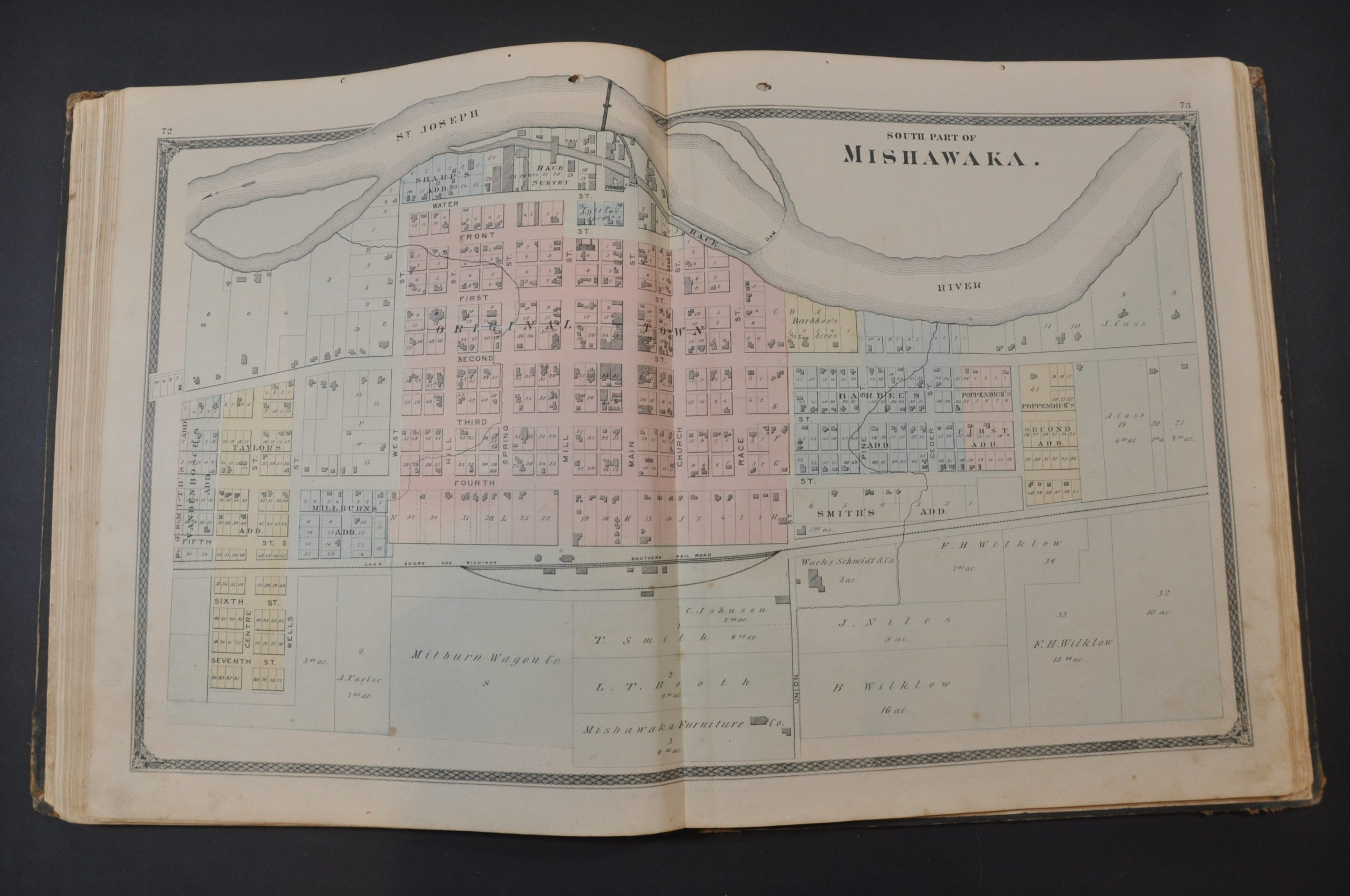
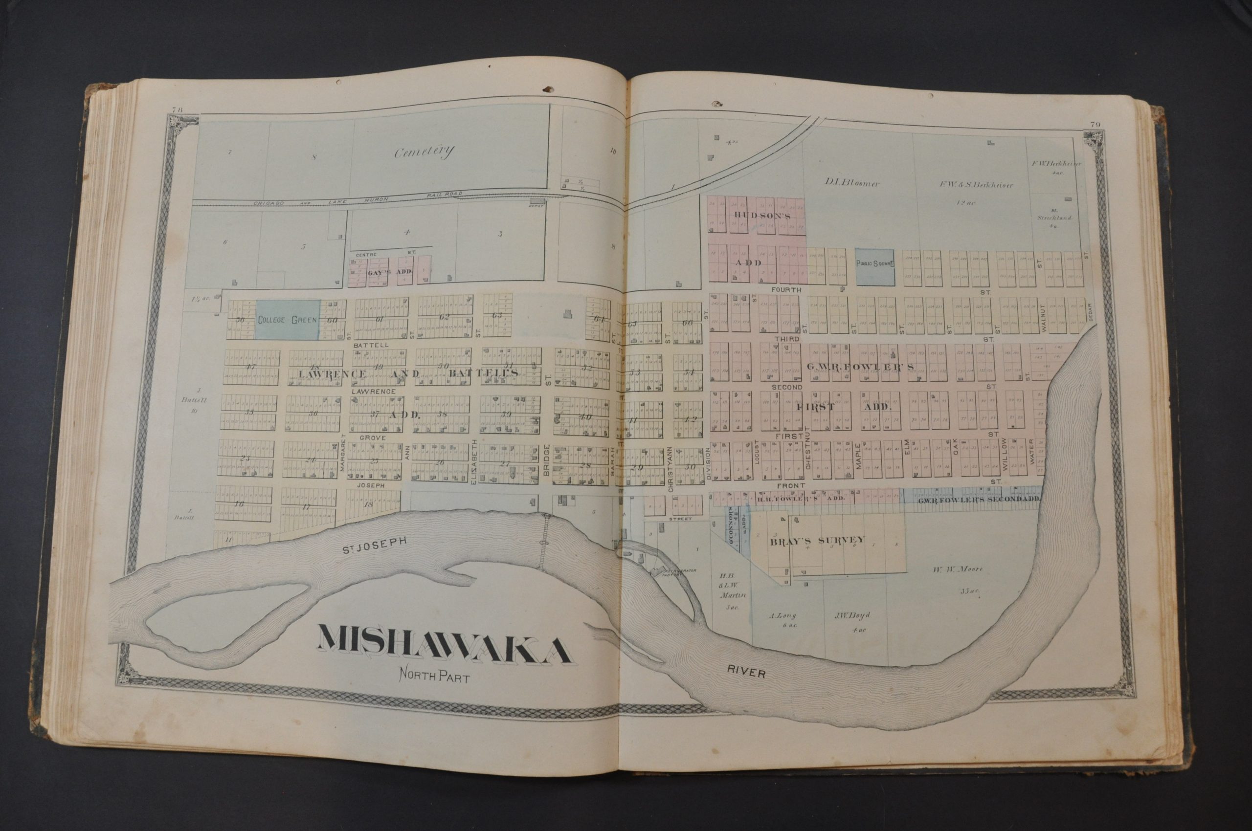
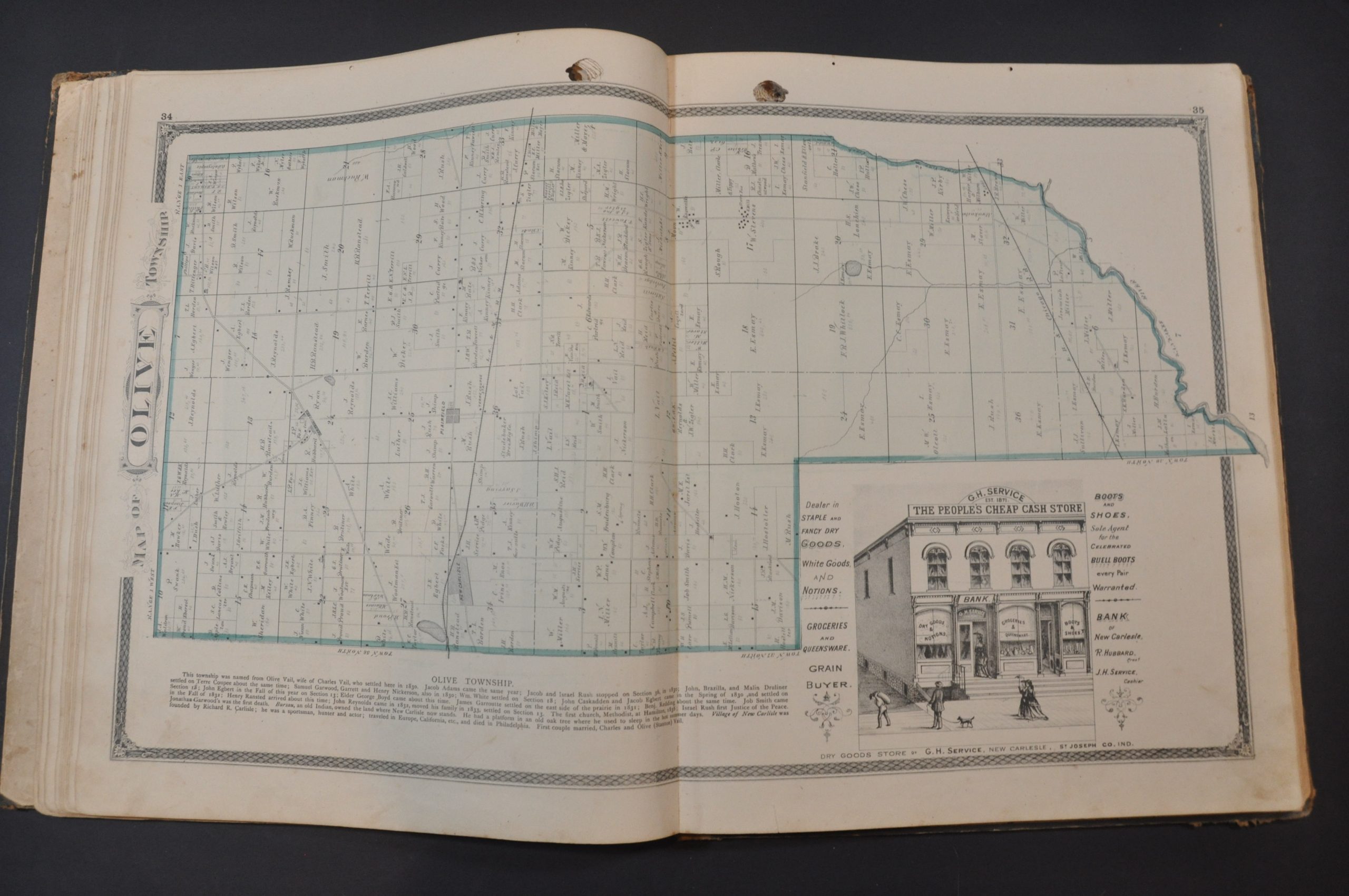
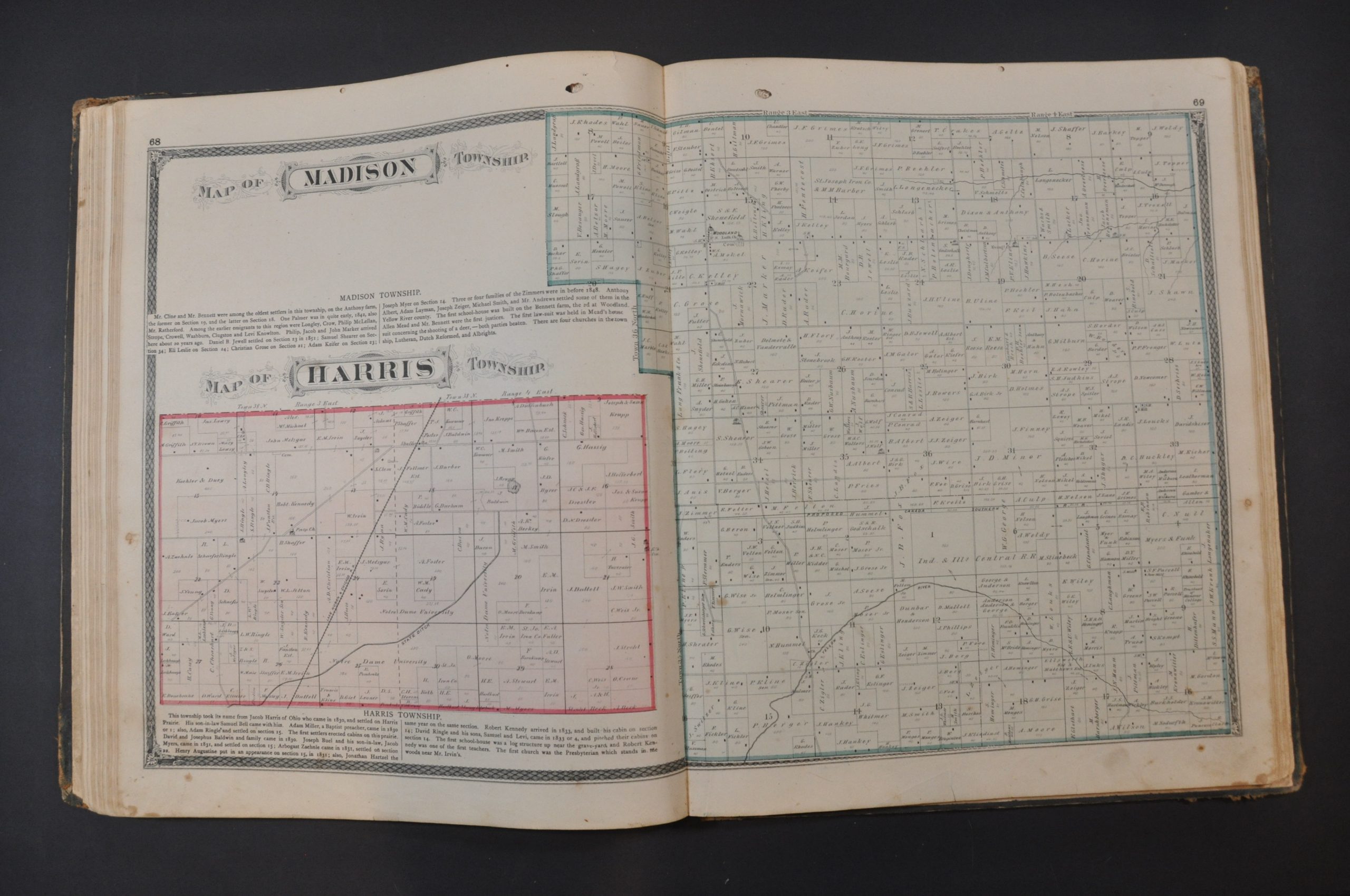
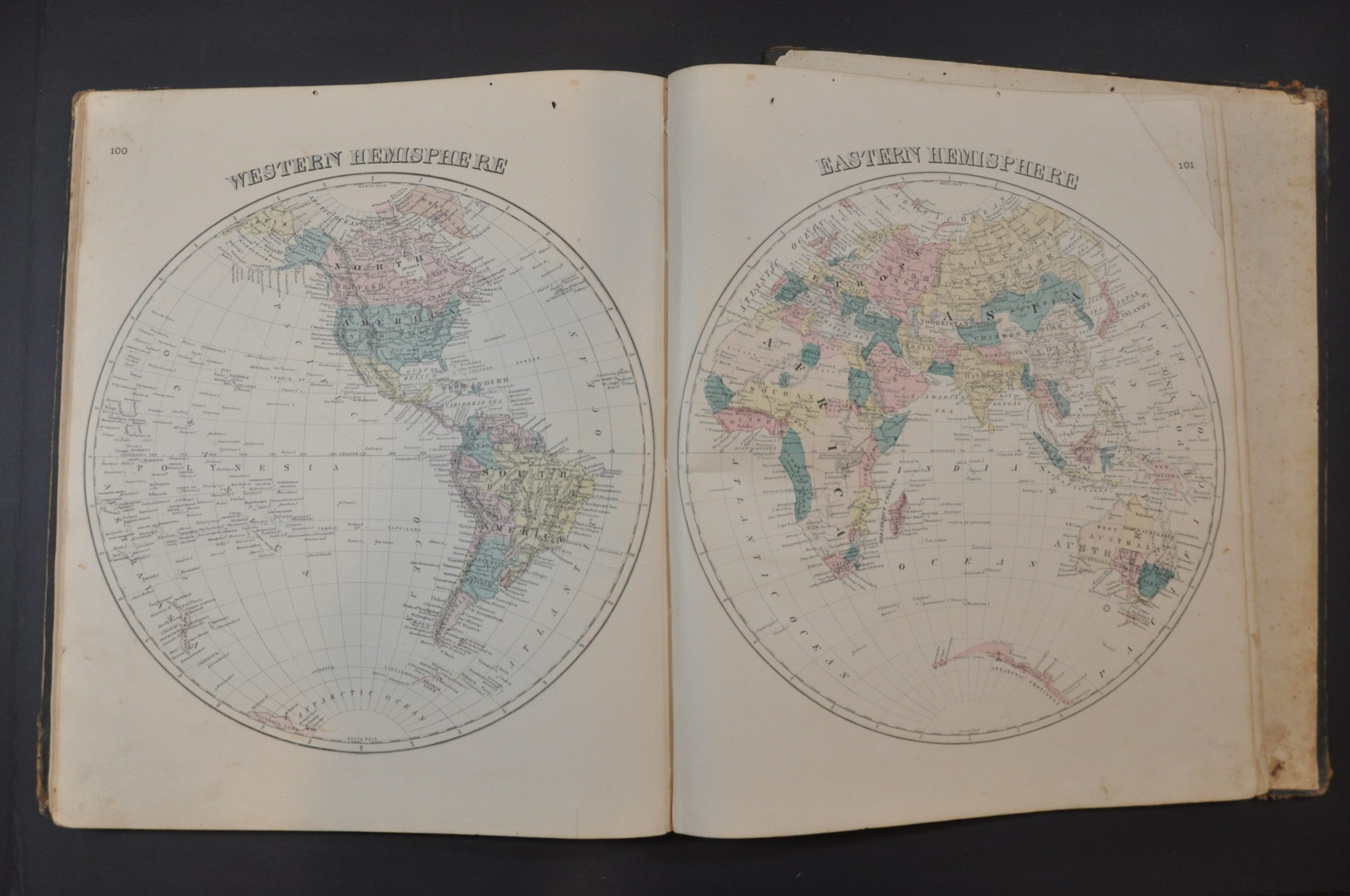
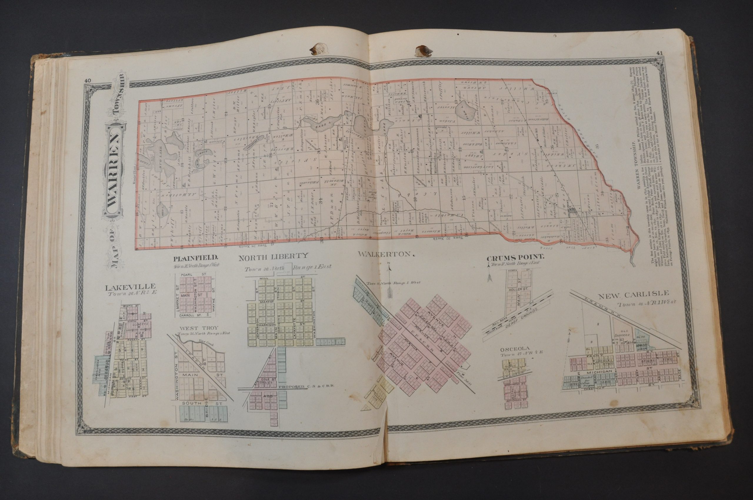
This atlas serves as part land ownership directory and part promotional publication and would have held a proud place on the mantle of many St. Joseph County residents in the final decades of the 19th century. Thirty-one lithographed maps show townships, cities (including South Bend and Mishawaka), and plats in addition to images of the eastern and western hemispheres, the United States, and the state of Indiana.
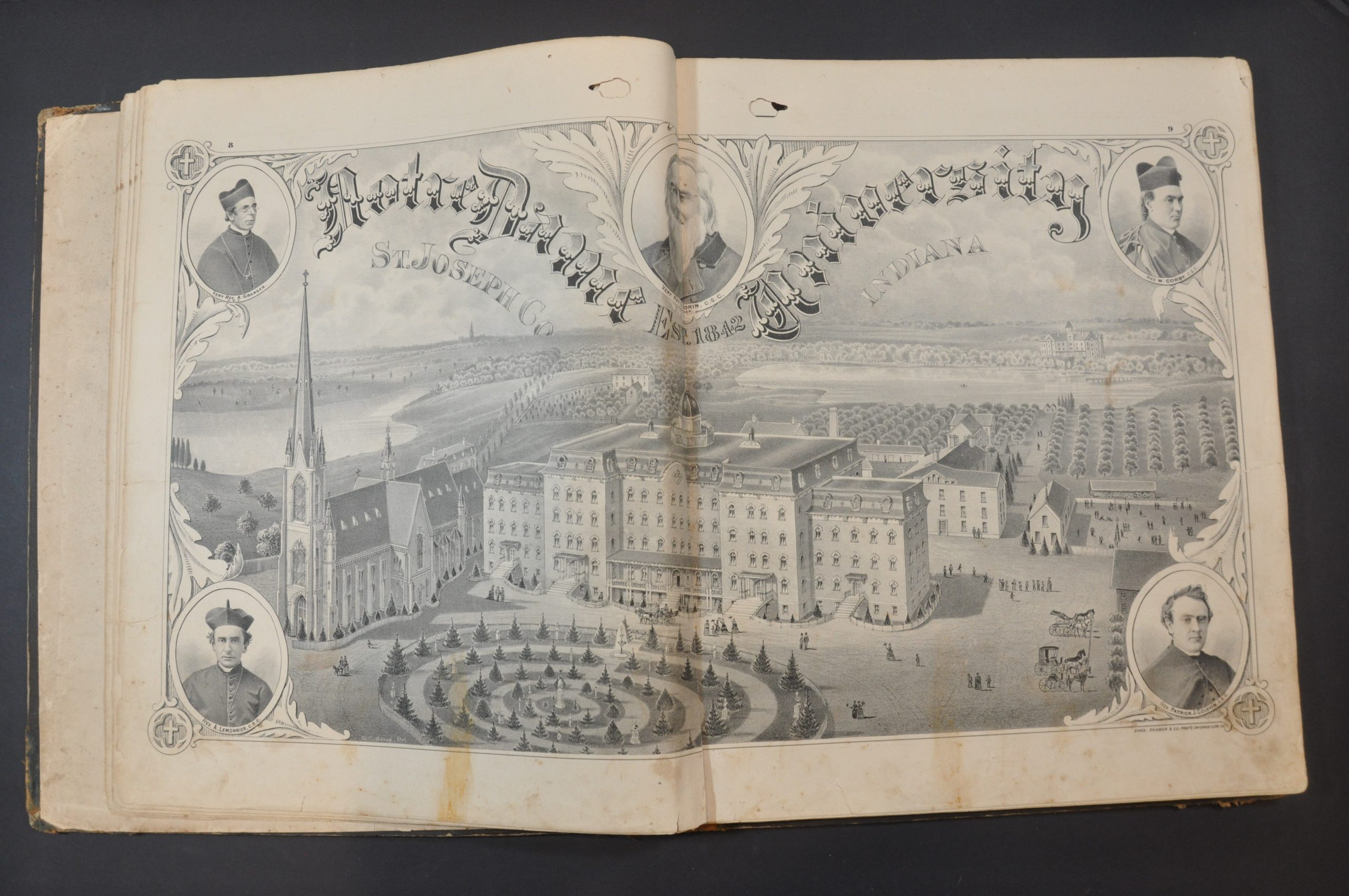
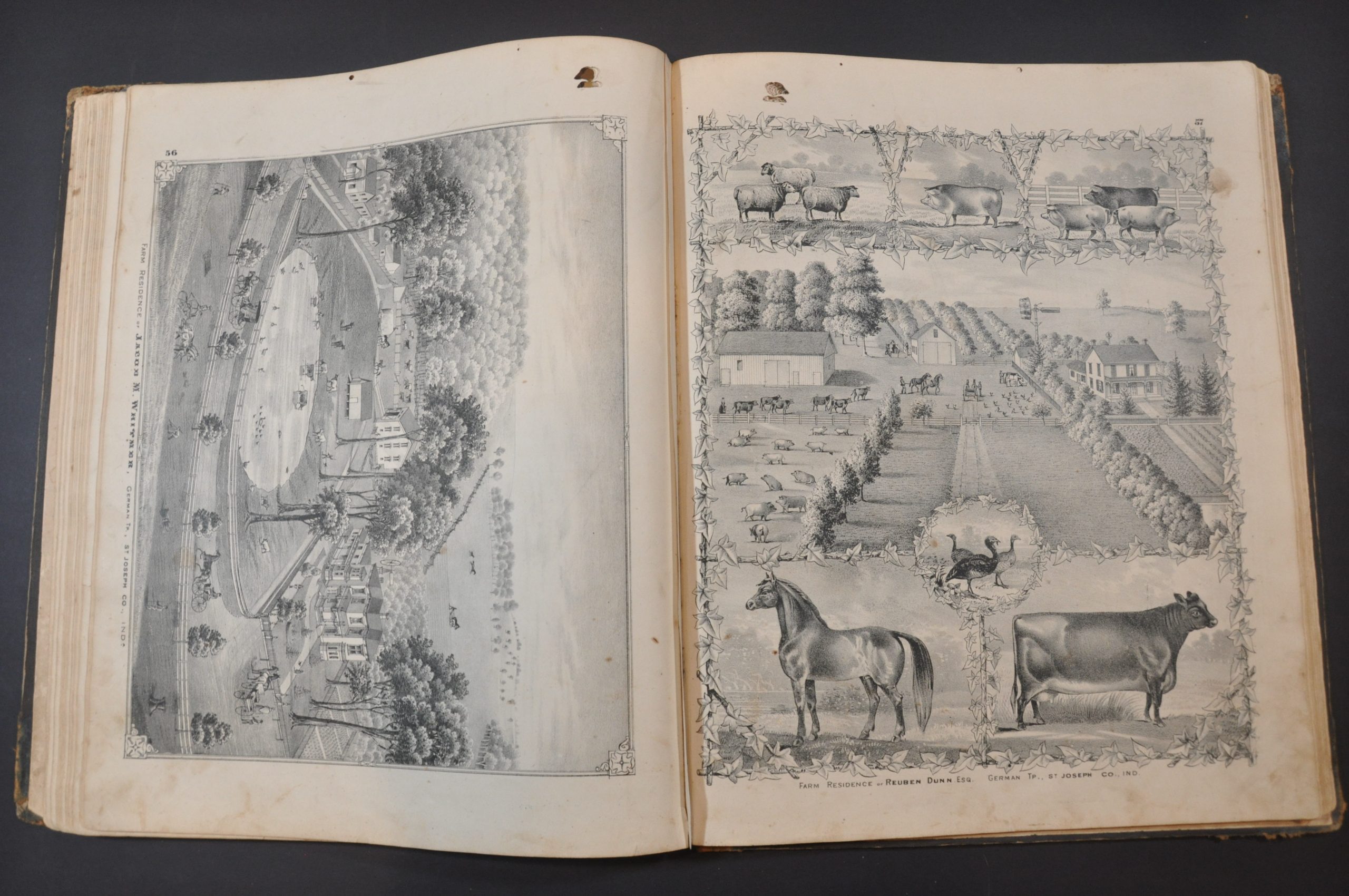
Dense text provides a comprehensive history of the county and information on many of its prominent residents. This self-promotion was a calculated move by the publisher in order to drum up interest in the publication of the atlas. Many such works were sold on a subscription basis to defray the upfront costs, and in return for patronage business owners and residents within the county could have a portrait, biography, or full-page view of their property included. One such example is the wonderful panorama of the South Bend Paper Mills of W.H. Beach & Co. Elsewhere in the atlas are two spectacular views of the pride of the county’s educational system – Notre Dame University and St. Mary’s College of the Immaculate Conception.
The atlas was compiled and published in Chicago by Higgins, Belden & Company in 1875.
Map Details
Publication Date: 1875
Author: Higgins Belden & Co.
Sheet Width (in): 14.5
Sheet Height (in): 17.75
Condition: B
Condition Description: Original quarter leather with gilt details and full brown cloth with gilt embossed title. Broken spine with separated front and back covers, which both show heavy wear, abrasion, and warping. Contents range from fair to good condition. 106 pages, but lacking plates 17 - 20 (History of Mishawaka and Notre Dame, map of East South Bend). Interestingly, duplicates of plates 25 - 29 were inserted (including a second map of West South Bend) - possibly an oversight at the time of publication? Offsetting spots of worming at the top start about the size of a quarter, and gradually diminish to an eraserhead at the end of the volume. Numerous spots of minor to heavy soiling, foxing, marginal tears, and offsetting are visible throughout the atlas, affecting about half of the plates. The remaining examples are clean and in good shape. Between fair and good condition overall, with the exception of the tattered binding.
Out of stock