Historical and Biographical Atlas of the New Jersey Coast Illustrated
Remarkable 1878 atlas covering the coast of New Jersey in spectacular geographic and visual detail.
Out of stock
Description
This spectacular 1878 atlas of the New Jersey coast is one of the most detailed overviews of the region published up to that time. In a lengthy preface, it is purported that the atlas is the first of its kind ever issued in the United States – a work confined “more particularly to the immediate coast shore, where centres the natural wealth and importance of Southern New Jersey.”
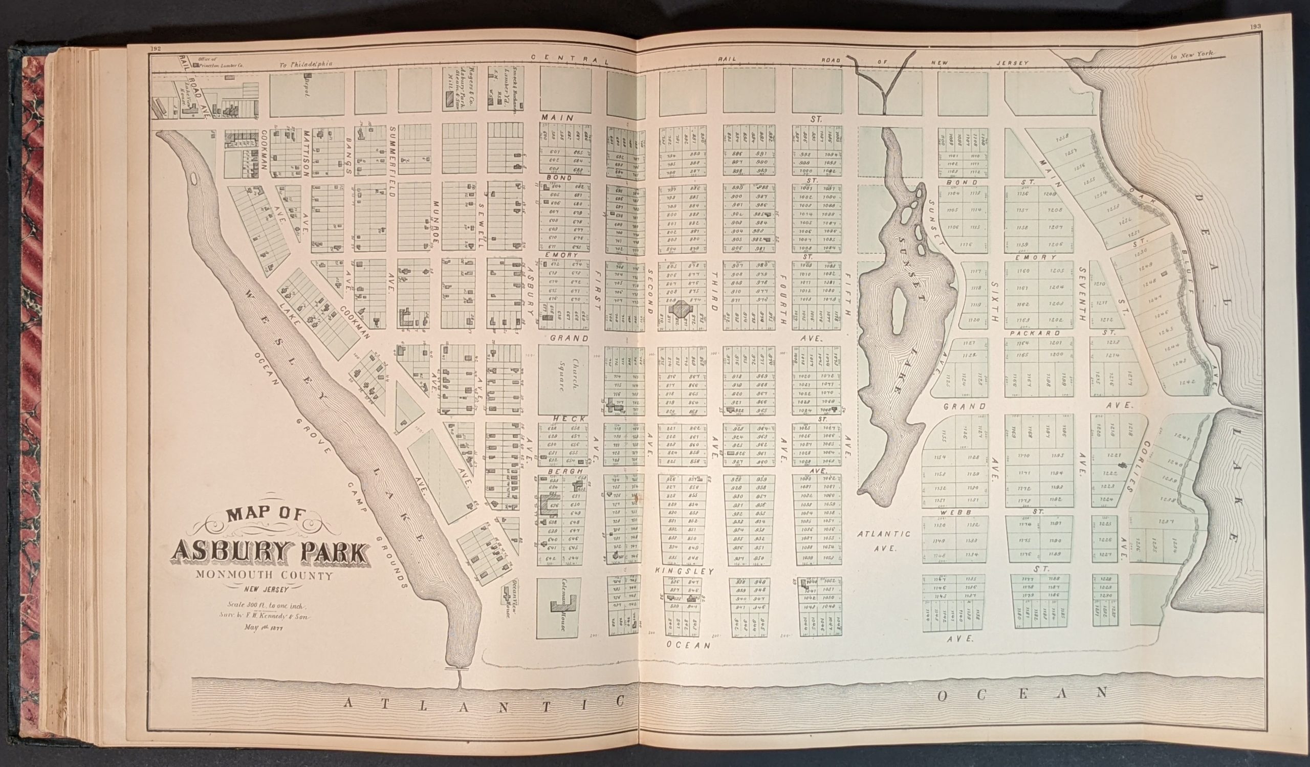
After the title page and demographic statistics for each county, over one hundred pages of text are dedicated to a historical description of the New Jersey coast. It’s comprised of county and township summaries, a list of coastal shipwrecks, information on lighthouses, beacons, and the life-saving service (featured prominently throughout), and biographical summaries of important citizens. Thirty-six separate maps are included – 12 single-page, 12 double-page, and 8 folding sheets separately tipped in. These include U.S. Coastal Survey charts of New Jersey and New York Harbor, city plans, plat maps, and even residential subdivisions and cemetery outlines.
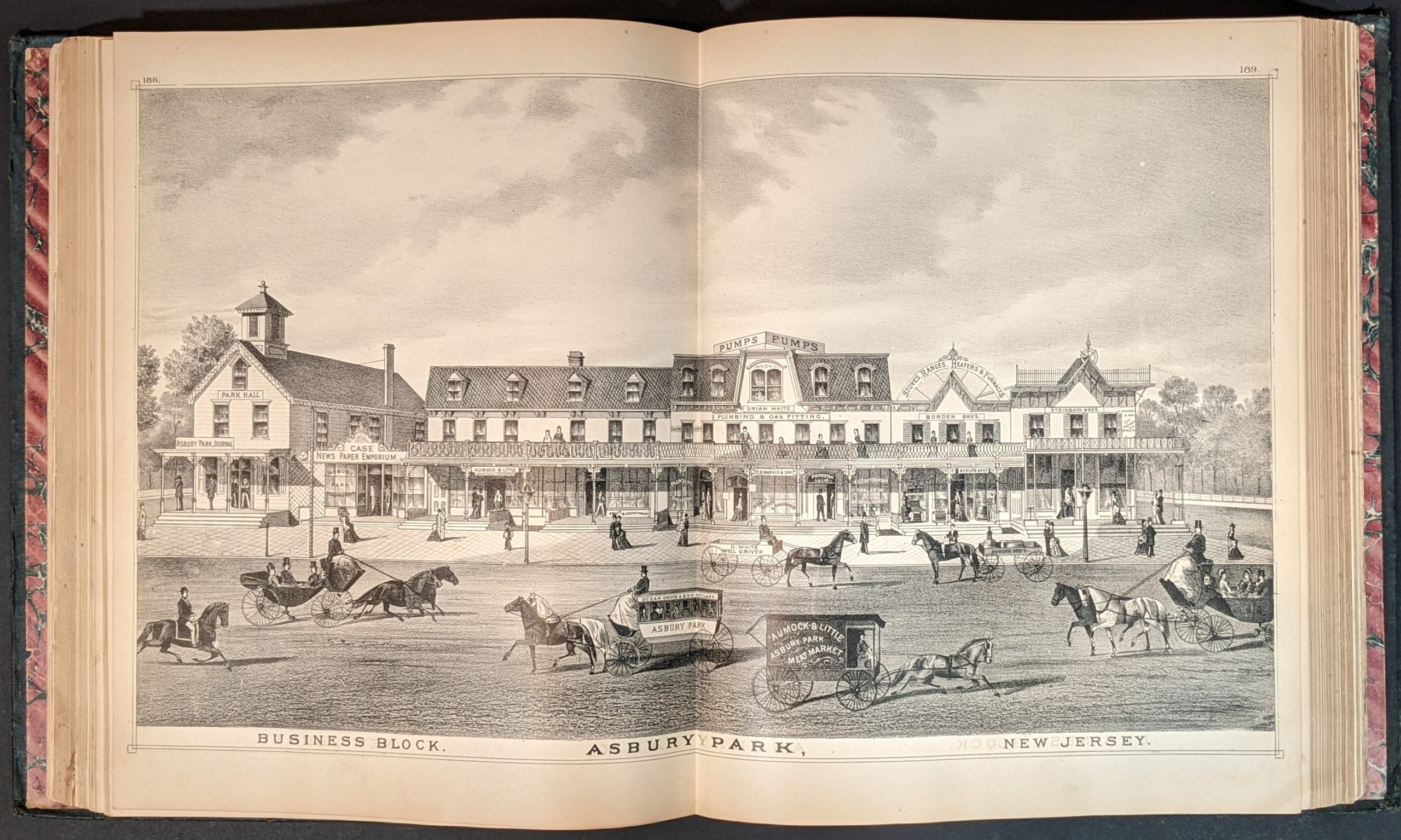
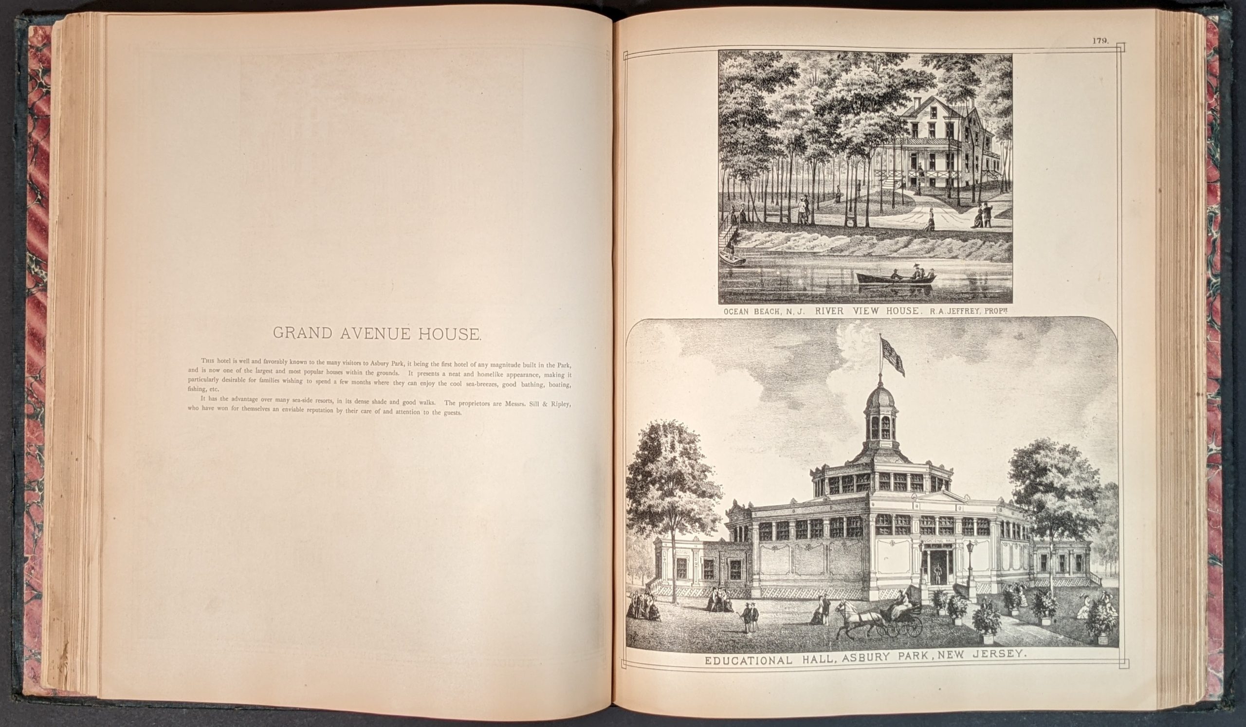
In addition, the atlas contains dozens of engraved views and portraits that provide a fascinating snapshot of the contemporary commercial activity across the region. Likely published on a subscription basis, the financial success of the atlas depended on encouraging patrons to purchase copies in advance or pay extra for personalized illustrations. Thus the contents act as a form of late-19th century self-promotion; showcasing the residences, businesses, farmsteads, and even prize livestock of local residents.The region was also experiencing a significant tourism and real estate boom at the time and great attention is given to new real estate developments, public amusements, bathing beaches, and seaside accommodations. Many of the engravings are accompanied by descriptive captions, providing additional details and text bordering on an advertisement.
Described by the Princeton University Library, the publication is the “first atlas of the New Jersey coastal regions. Displayed in these pages is the golden age of the Jersey shore, certainly the state’s most volatile landscape to be mapped over the past 350 years. From the north point of Sandy Hook to the south point of Cape May, the coastline stretches for about 130 miles, embracing parts of Monmouth, Ocean, Burlington, Atlantic, and Cape May Counties.”
Source: Princeton University Library.
Map Details
Publication Date: 1878
Author: T.F. Rose
Sheet Width (in): See Description
Sheet Height (in): See Description
Condition: A-
Condition Description: 372 pp. atlas bound in original quarter leather with embossed gilt boards covered in blue cloth. Marbled endpapers and gilt fore edge. Contents are complete and generally in very good condition, with professional restoration applied where necessary (mostly small tears and separations). Damp stains affect the top of the first 100 pages or so, including the folding map of New Jersey. Light soiling and wear elsewhere, with some small tears and faint toning visible on several of the fold-out maps. Includes 16 single page, 12 double page, and 8 folding maps. Very good overall.
Out of stock


