Hispania Nova
$995.00
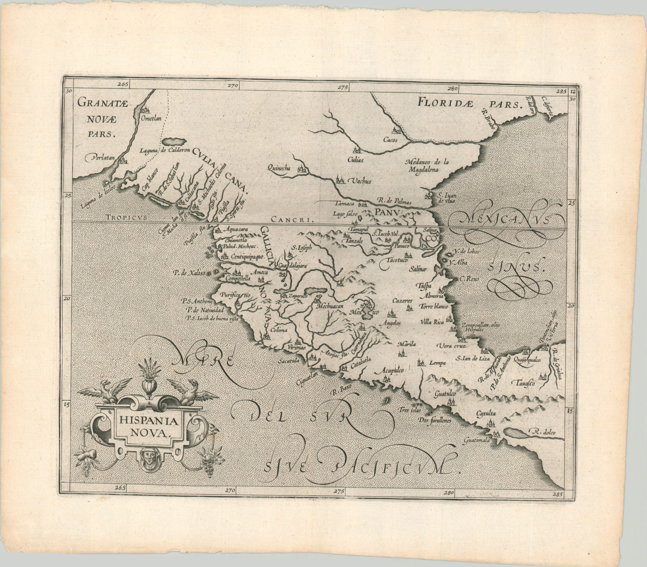
New Spain less than a century after the conquest of the Aztecs.
1 in stock
Description
This map, focused primarily on the modern-day country of Mexico, shows the Viceroyalty of New Spain just five decades after it was first established in the wake of the conquest of the Aztec Empire. The image is centered on Mexico City, the new capital located on the former site of Tenochtitlan.
The other place names reflect the various Spanish priorities of economic exploitation and evangelization and include presidios, port cities, missions, and a few remaining indigenous villages. Geographic features are also labeled, including the Rio Grande as Rio de Palmas. It wouldn’t be until the year following the map’s first publication that the river would assume its modern name.
The map was originally published in Louvain in 1597 as part of Cornelius Wytfliet’s Descriptionis Ptolemaicae Augmentum, the earliest atlas dedicated exclusively to coverage of the New World. The image is largely based off a 1592 map by Petrus Plancius and would remain unchanged throughout the volume’s publication lifespan. This is a somewhat later issue, published within the first few years of the 17th century.
Source: Burden #105
Map Details
Publication Date: c. 1604
Author: Cornelius Wytfliet
Sheet Width (in): 13.60
Sheet Height (in): 11.10
Condition: A-
Condition Description: A small chip in the upper right margin of the sheet, well away from the image, and a bit of darkening from the plate strike in the lower border. Very good, or better, overall.
$995.00
1 in stock

