[Hiking Trails of Southern California]
$150.00
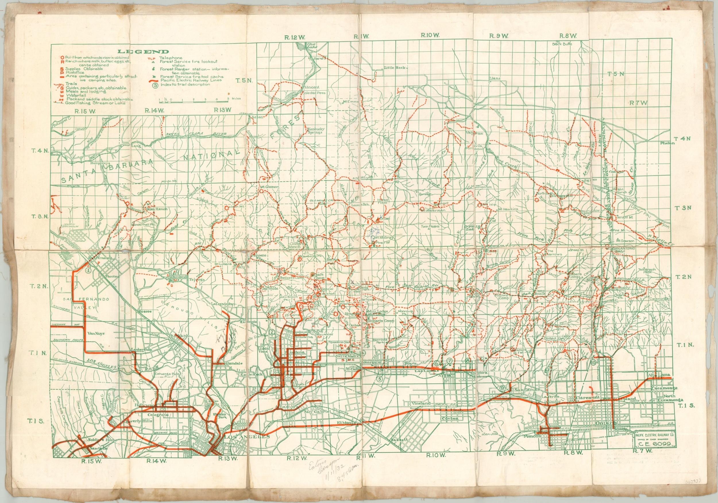
Well used trail map of southern California.
1 in stock
Description
Hike the slopes of the San Gabriel and San Bernardino mountains with this detailed trail map, published by the Pacific Electric Railway Company around 1931. Trails, facilities, fishing sites, ranger stations, and other locations important for rambling excursions into the hills are brightly highlighted in orange – ideal for visibility in low light. Nearby cities of Los Angeles, Pasadena, and Ontario are accessible via the railcars of the Pacific Electric Railway.
Mounted on linen with numerous manuscript annotations throughout the image, in the margins, and on the verso. One particularly notable entry references a local hike:
“Monday Feb. 16/31 at Waterman Ranger Station. 11:30 a.m. Station Closed. Had my lunch at trail signs quite cool in canyon this morning not many people on trail and in canyon. Trails in very good shape. Saw two fine grey squirrels coming up.”
Map Details
Publication Date: c. 1931
Author: Pacific Electric Railway Company
Sheet Width (in): 24.50
Sheet Height (in): 16.75
Condition: B+
Condition Description: Mounted on linen with manuscript annotations throughout the image and verso dated to the early 1930's. The paper has curled along the seams between segment and separated along the centerfold. Small holes at fold intersections. Despite the wear, the image is intact and the map remains in good condition overall.
$150.00
1 in stock


