
Highway Map of the State of California
$175.00
The roads of California as the Roaring 20s begin.
1 in stock
Description
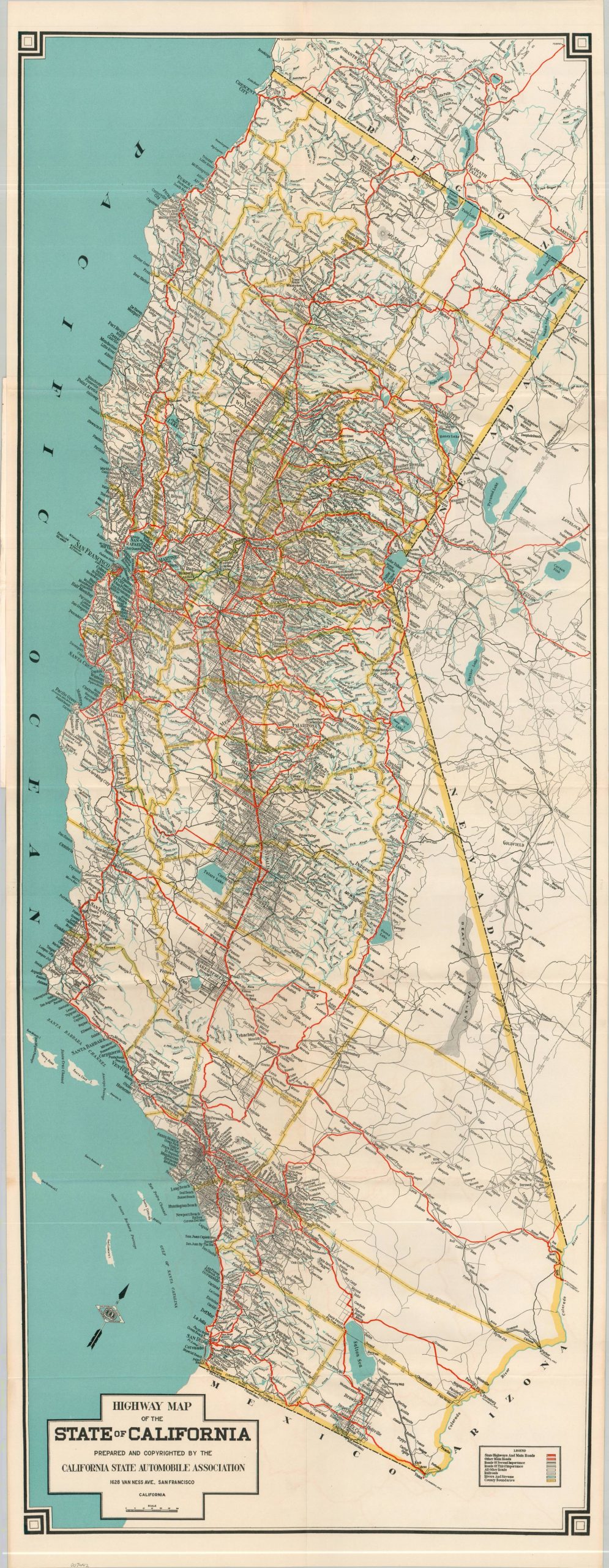
This wonderfully detailed map of California’s roads was published in 1921 by the California State Automobile Association. A sharply defined image uses a series of colors and lines to distinguish the various types of automobile surfaces, ranging from State Highways and Main Roads (bright red) to All Other Roads (thin black lines). Waterways are a lovely blue and county borders are highlighted in yellow. Toponyms concentrate on towns, attractions, parks, and other locations of interest accessible via the robust road network – encouraging visitors and residents to hit the road to see all California has to offer.
Organized as an offshoot of The Automobile Club of California in 1907, the California State Automobile Association (CSAA) is one of the oldest and largest affiliates of the American Automobile Association. As part of its services to the public, the CSAA began erecting road signs and publishing maps in 1909. The not-for-profit member organization also benefited motor tourism by lobbying for beneficial legislation, arranging industry events (notably, public safety programs), and sponsoring the sport of racing.
Map Details
Publication Date: 1921
Author: California State Automobile Association
Sheet Width (in): 16
Sheet Height (in): 41.75
Condition: A
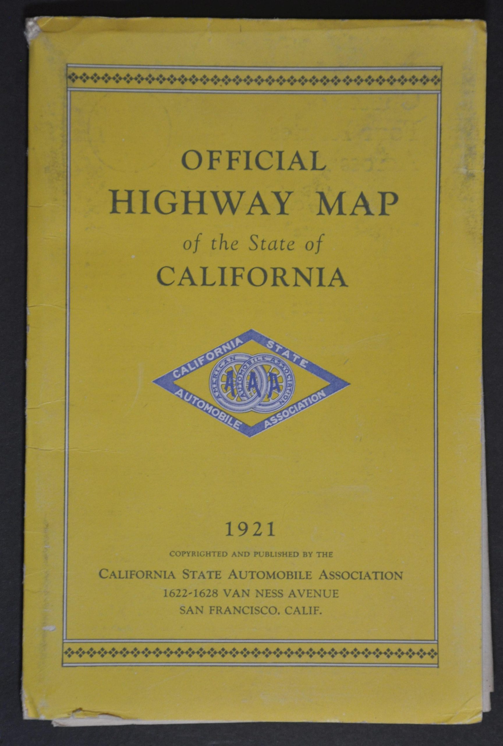
Condition Description: Color lithographed map on a thick sheet of paper, folded into 16 segments and affixed to original illustrated paper wraps that show moderate wear. Map is sharply creased and a bit of wrinkling along fold joints. Very good to near fine condition overall. Features a lovely advertisement for Shell Oil on the back cover.
$175.00
1 in stock