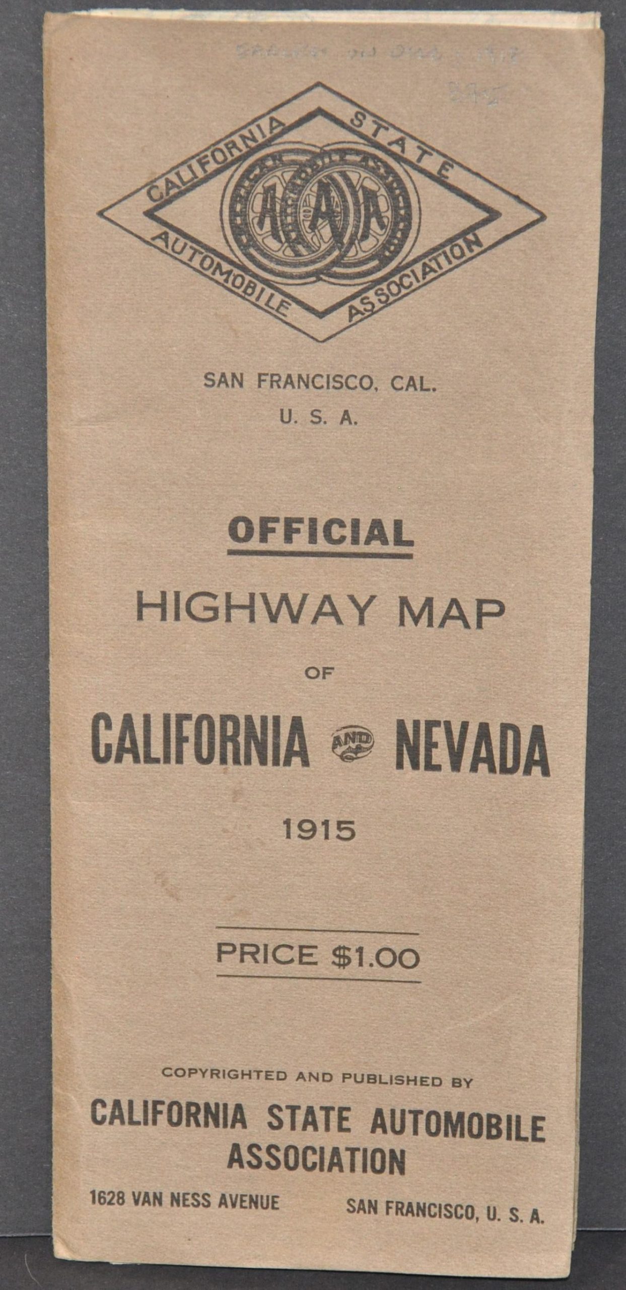
Highway Map of California and Nevada
$525.00
Scarce map highlighting the early days of automobile tourism across Nevada and California.
1 in stock

Description
In 1900, a group of automobile enthusiasts met at San Francisco’s Cliff House to discuss the organization of the first official auto club located west of the Missouri River. They called themselves the Automobile Club of California (though several names were proposed) and officially incorporated as a non-profit in 1907 with the aim of furthering favorable legislation, road improvements, safety features, and other tangible benefits for the state’s growing number of motorists. The organization sent teams of workers to map California’s roads, erect road signs, and distribute literature to promote broad acceptance and use of the automobile, which remained somewhat a novelty in the early decades of the 20th century.
This detailed pocket map of California and Nevada was published in 1915 by the firm at its San Francisco headquarters. Three classes of roads are noted according to the legend in the lower left, with principal highways highlighted in red. Railroads (including proposed routes), county boundaries, and towns of varying sizes, from hamlets to county seats, are also identified.
A base pattern of rectangles aid the user in calculating distances between points, with each measuring approximately 60 by 70 miles, or 90 miles diagonally. Insets on the left show the areas around Los Angeles and San Francisco, as well as the principal highways connecting California and Nevada. The bottom of the sheet contains a comprehensive index to the various settlements labeled within the image, each entry corresponding to a coordinate on the outlined grid.
Blank on verso, but the stiff wraps show an interesting contemporary Firestone advertisement and a list of recommended hotels and garages endorsed by the CSAA.
Map Details
Publication Date: 1915
Author: California State Automobile Association
Sheet Width (in): 25
Sheet Height (in): 41
Condition: A-
Condition Description: Pocket map folded into 36 segments and affixed to original stiff brown paper wraps. Creased along originally issued fold lines, with small spots of separation at the fold intersections. Narrow margins on either edge and the lower left corner is cut, possibly done at printing. One small tear, about 2", in the upper center where affixed to the covers. Very good overall.
$525.00
1 in stock