
Headline Books War Atlas
$65.00
“No one can follow today’s news intelligently without maps.” – Introduction
1 in stock


Description
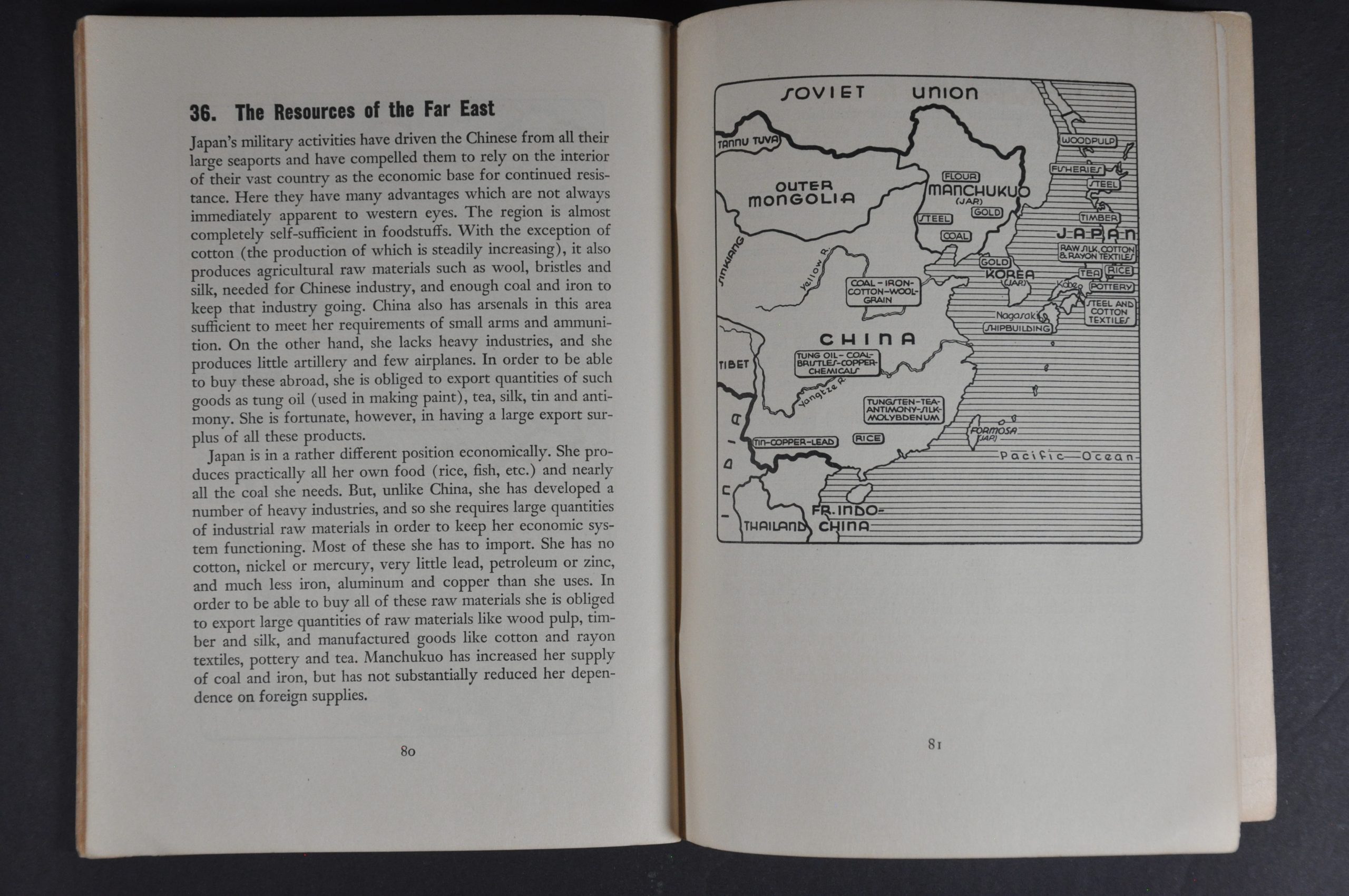
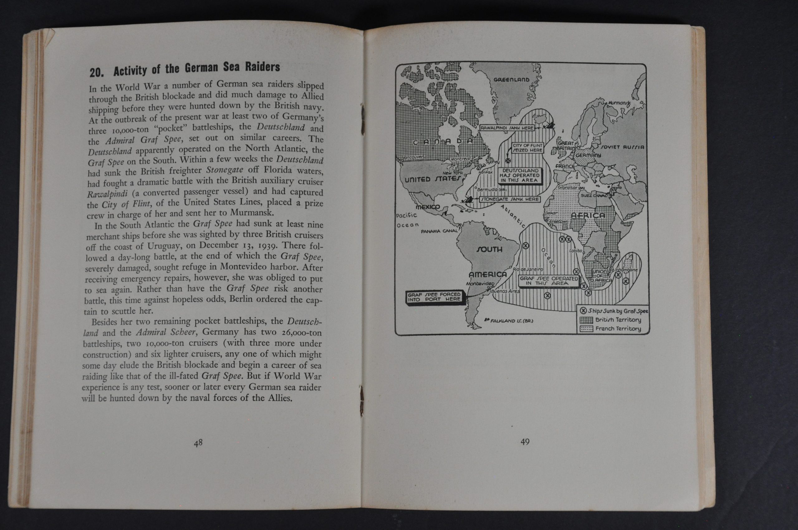
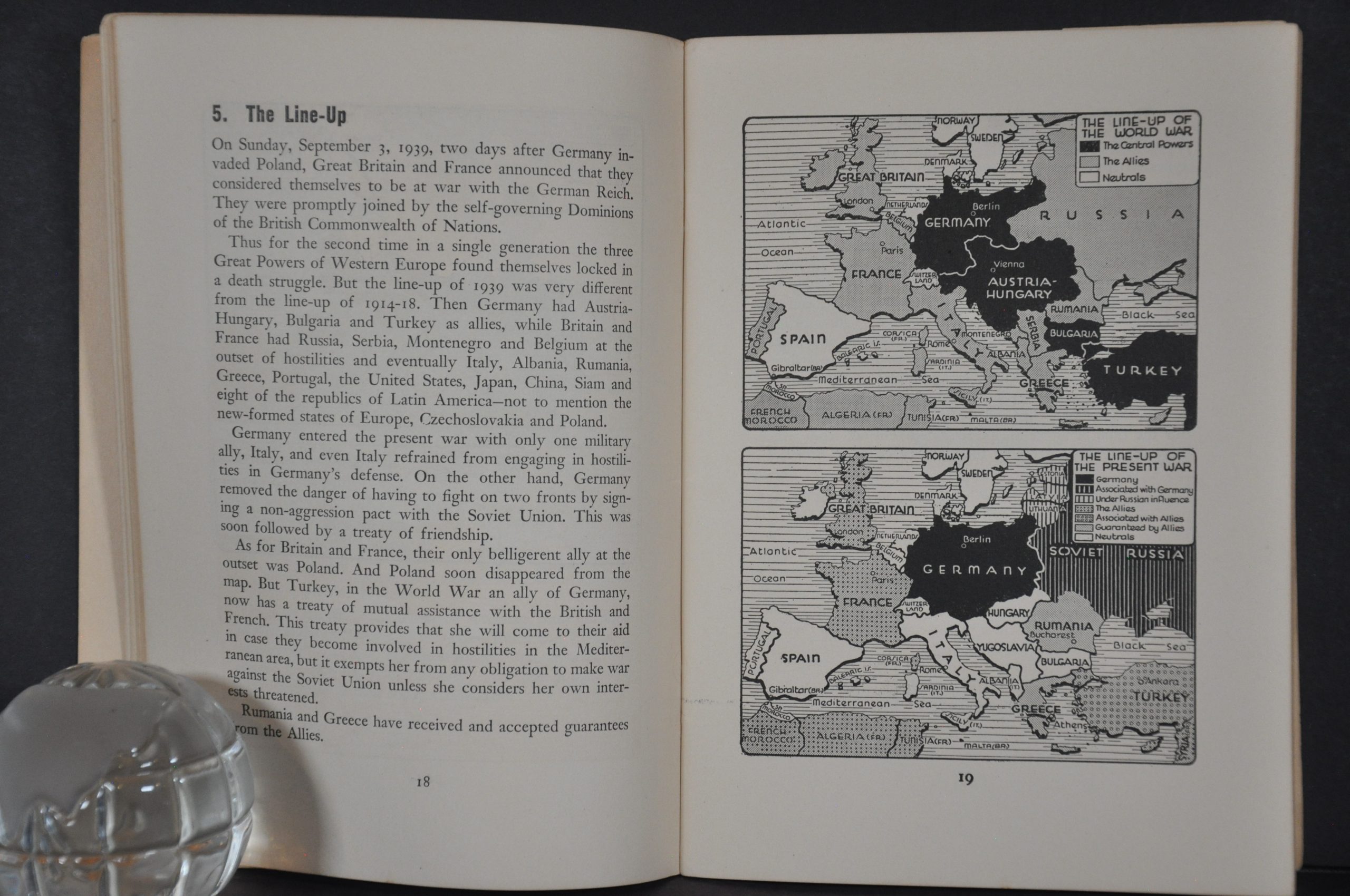
This small, but punchy, wartime atlas was published in New York in April 1940 by the Foreign Policy Association. A series of maps by Emil Herlin and commentary by Varian Fry provide a broad framework for a general audience to better comprehend the global conflict prior to American entry. Topics include the evolution of borders in Europe and the Far East, ethnic minorities in the Balkans, Italy’s tenuous neutrality, the Russo-Finnish War, China’s supply difficulties, U.S. foreign trade, the resources of Latin America, and much more.
Map Details
Publication Date: 1940
Author: The Foreign Policy Association
Sheet Width (in): 5.5
Sheet Height (in): 7.5
Condition: A-
Condition Description: 96 pp. pocket atlas with stapled binding and original stiff paper covers. The spine is split and the covers are loose and a bit worn. Some light scattered foxing here and there. Contents are mildly toned, but complete and in good condition overall.
$65.00
1 in stock