
Hawaiian Islands Oahu to Niihau
$150.00
A 1950s nautical chart of Kauai.
1 in stock
Description
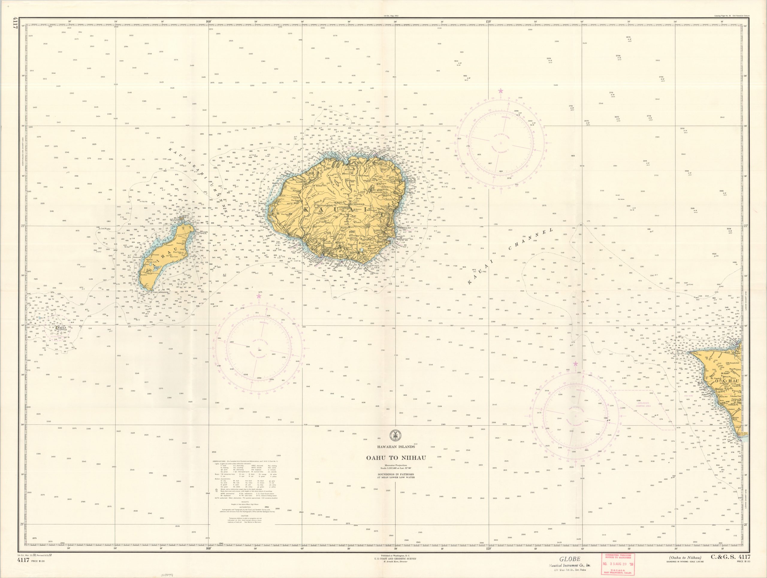
This detailed maritime chart captures the westernmost part of the Hawaiian archipelago, including all of Ni’ihau and Kauai, plus part of Oahu. Depth soundings are noted in fathoms throughout, and navigational beacons/buoys are colored in a light purple. An interesting variety of geographic features, important landmarks, and other locations of interest are labeled. Of note is a large ‘Explosive Dumping Area’ off the coast of Oahu and the ‘Restricted Area’ surrounding the small rocky island of Kaʻula – then in use as a bombing range by the U.S. Navy.
The chart was published in Washington, D.C. by the U.S. Coast and Geodetic Survey. In its fifth edition, the chart was originally created in 1953, with significant postwar revisions dated to 1957. A stamp in the lower center shows further updates to August 29, 1959 – just one week after Hawaii was officially granted statehood. An adjacent stamp indicates this example was sold by the Globe Nautical Instrument Company, Inc. of San Pedro, California.
Map Details
Publication Date: 1959
Author: U.S. Coast and Geodetic Survey
Sheet Width (in): 44.75
Sheet Height (in): 34.00
Condition: A-
Condition Description: Creased along old folds, with some moderate wrinkling at the center fold joints. Light marginal wear and a red rubber stamp in the lower center. Good to very good condition overall.
$150.00
1 in stock