
Hawaiian Group or Sandwich Islands
$80.00
Detailed mid-19th century map of numerous Pacific Islands.
1 in stock
Description
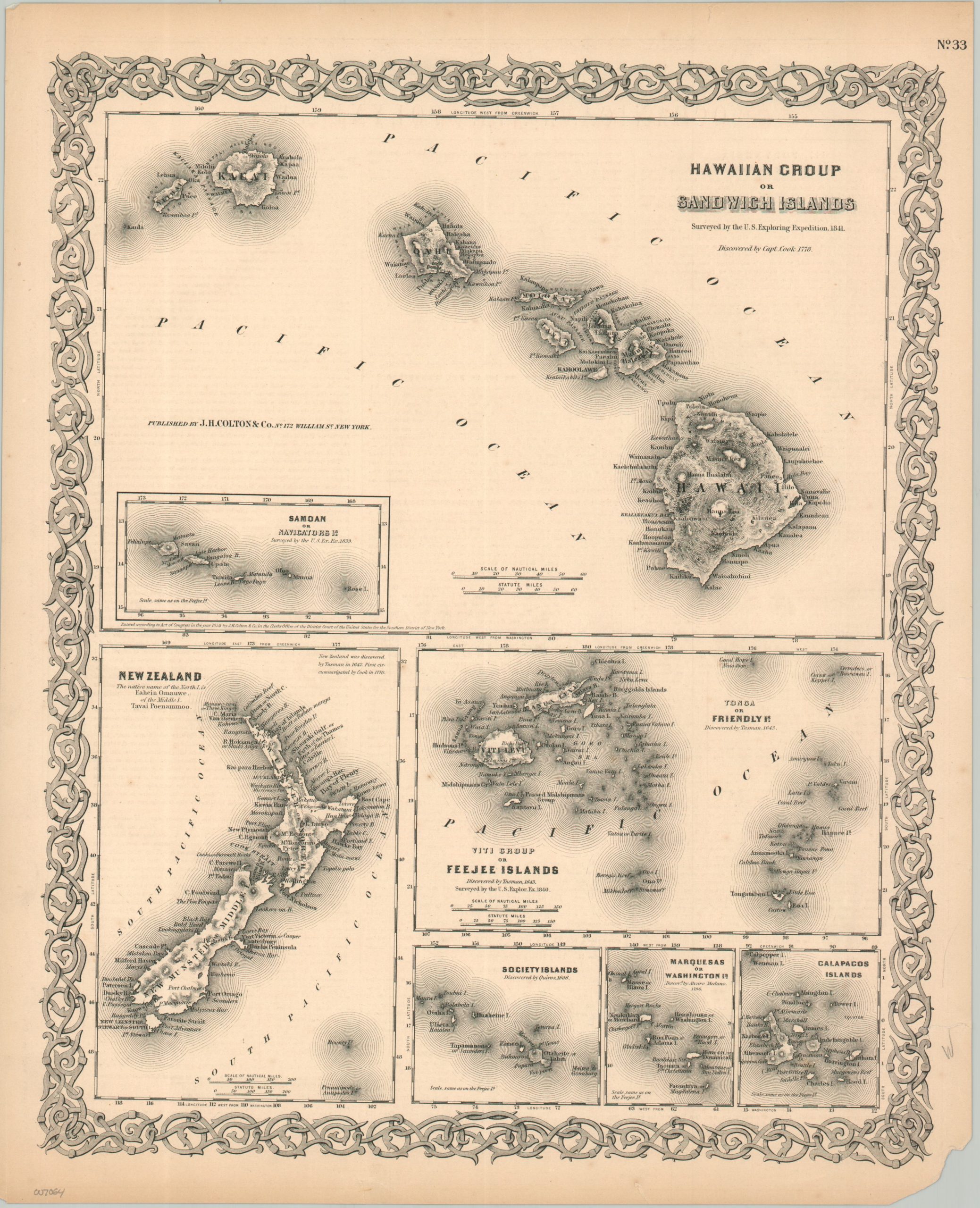
Seven maps in one, this page from a Colton atlas shows the Hawaiian Islands as they were surveyed by the U.S. Exploring Expedition in 1841. Six other maps of island groups are shown, charted by European and American explorers in the 17th, 18th, and 19th centuries. Each image presents topographical relief, towns, and reefs of areas that were economically important for their natural resources and as stopovers for ships. New Zealand, Fiji, the Galapagos, the Society Islands, Tonga, and the Marquesas Islands are all included.
Map Details
Publication Date: 1855
Author: J.H. Colton
Sheet Width (in): 13.75
Sheet Height (in): 17
Condition: B+
Condition Description: Moderate wear along the outer edges of the sheet, including toned margins, a chipped lower right corner, and trimmed right edge. Otherwise in good condition overall.
$80.00
1 in stock