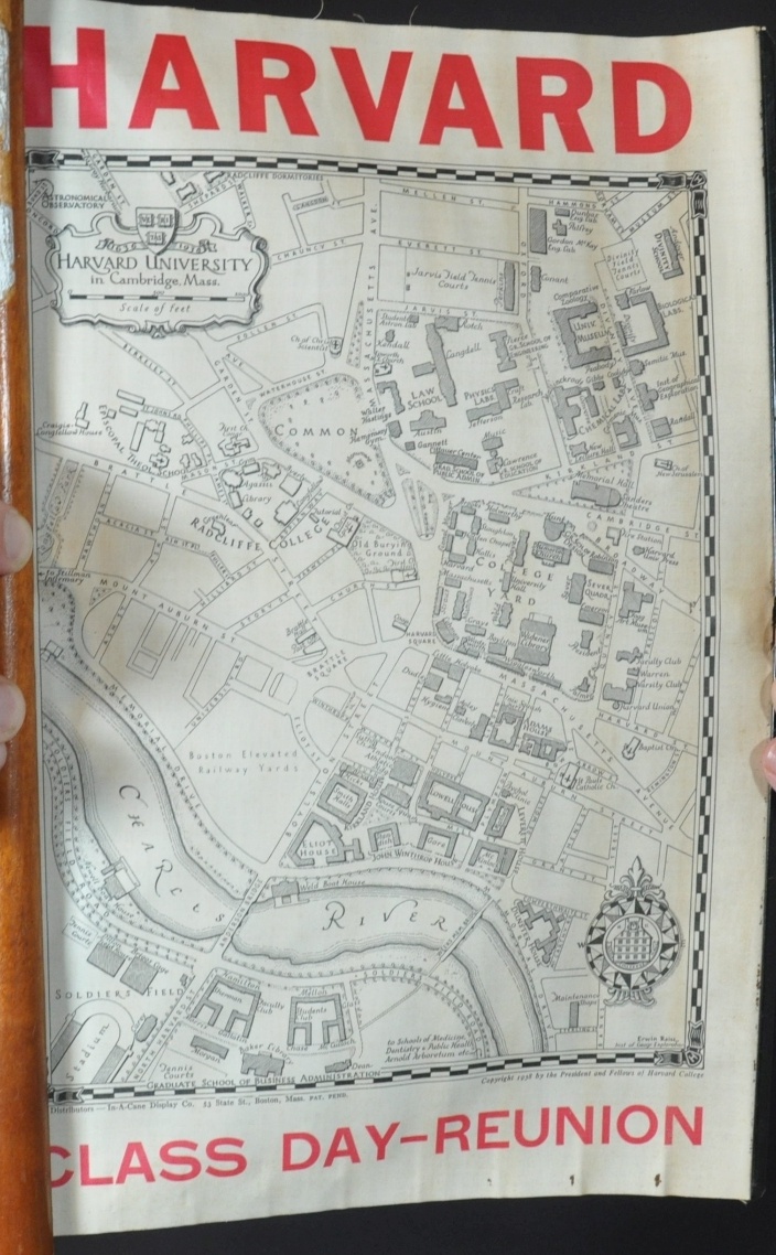
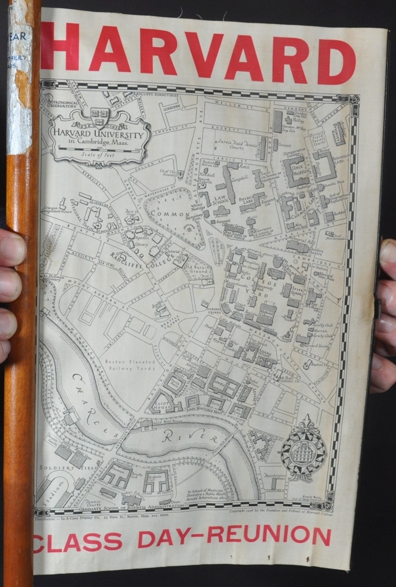
Harvard University in Cambridge, Mass.
Commemorative souvenir from a pre-WWII Harvard class reunion.
Out of stock
Description
This beautiful map of Harvard University and nearby Radcliffe College was drawn by Erwin Raisz and published in 1938 by the President and Fellows of Harvard College. Its unique format, patent-pending, was designed by In-a-Cane Display Company of Massachusetts, while bold red typeface in the margins identifies the piece as a souvenir for a Harvard Class-Day Reunion; likely in 1939 or 1940.
The image shows the historic institutions in Cambridge, Massachusetts in some detail, with individual buildings outlined and labeled. Prominent transportation routes are noted, and decorative elements are present in the form of the compass rose, title cartouche, and stylized border.
At the time of publication, Raisz was a member of the Institute of Geographical Exploration at Harvard and also the university map curator. The Hungarian-born cartographer was best known for his tremendously detailed landform maps which he created by hand.
Map Details
Publication Date: 1938
Author: Erwin Raisz
Sheet Width (in): See Description
Sheet Height (in): See Description
Condition: A-
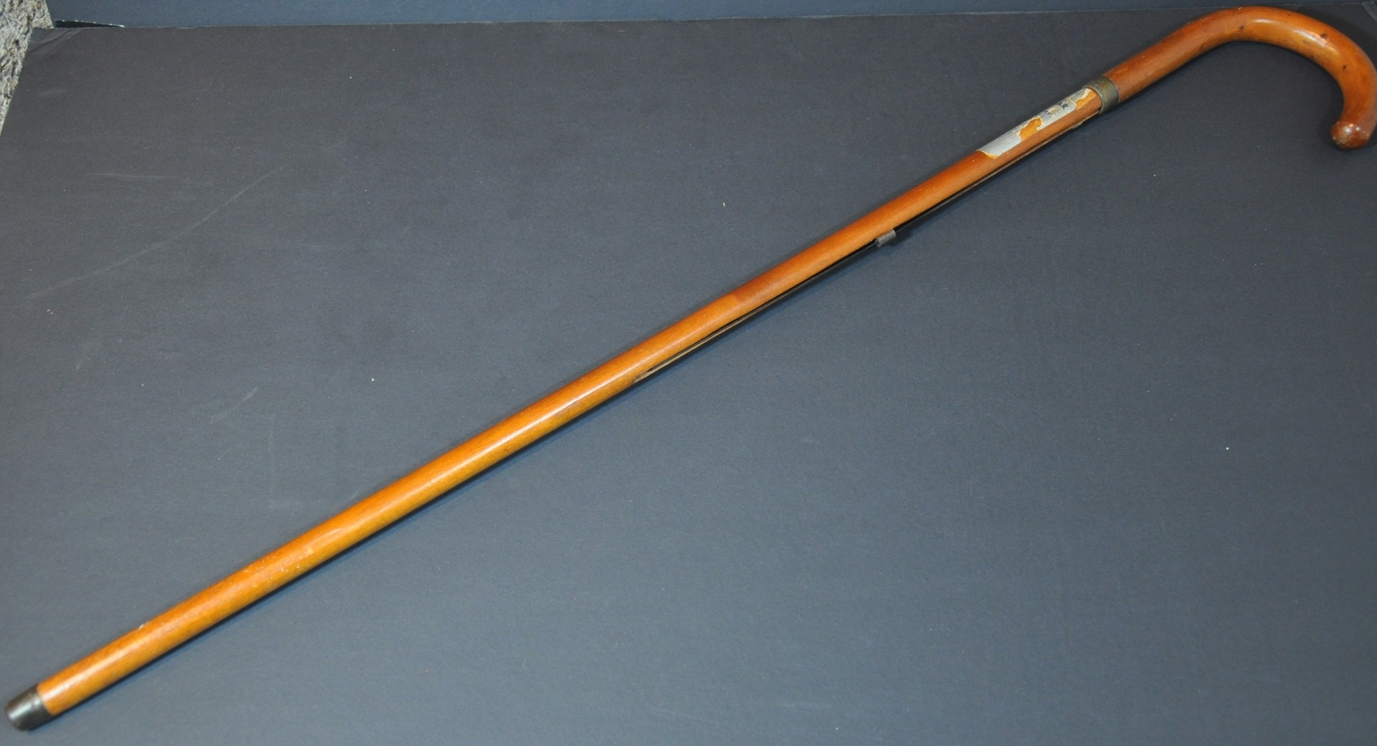
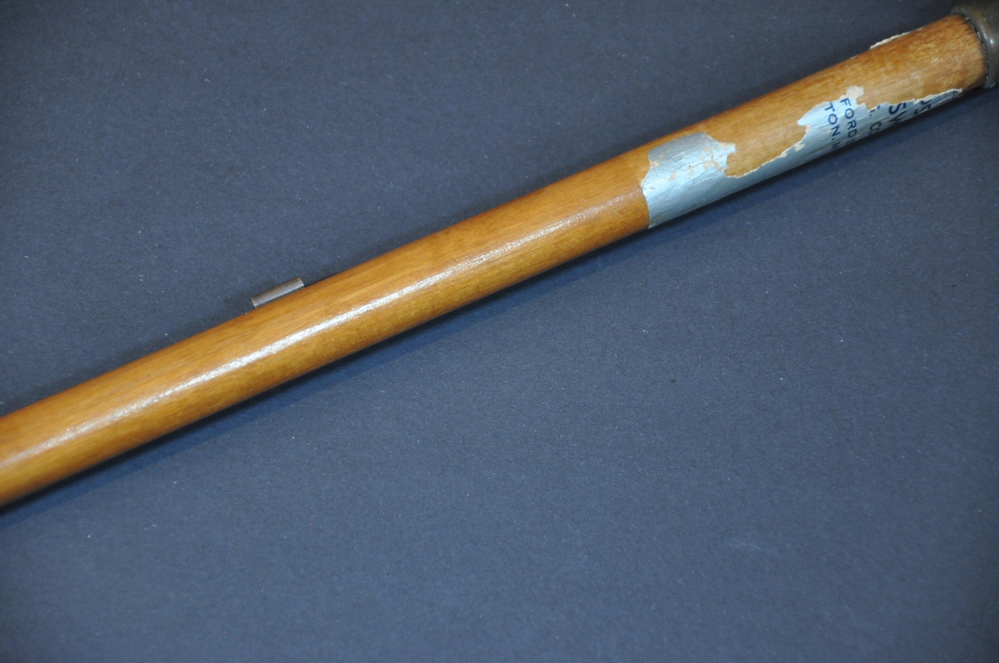
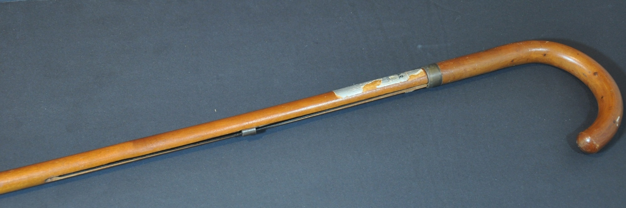
Condition Description: 9" x 13" pictorial map of Harvard's campus, printed on linen and affixed to a metal rod. Good condition, though lightly toned in horizontal strips and three small spots are in the lower right margin. The map rolls up and is embedded within a metal-tipped wooden cane approximately 35" long. A torn sticker identifies it was possibly distributed by a menswear company in Milton, Massachusetts.
Out of stock