Hammond’s Self-Revising World Atlas and Gazetteer
Global atlas published while WWII was still a European affair.
Out of stock


Description
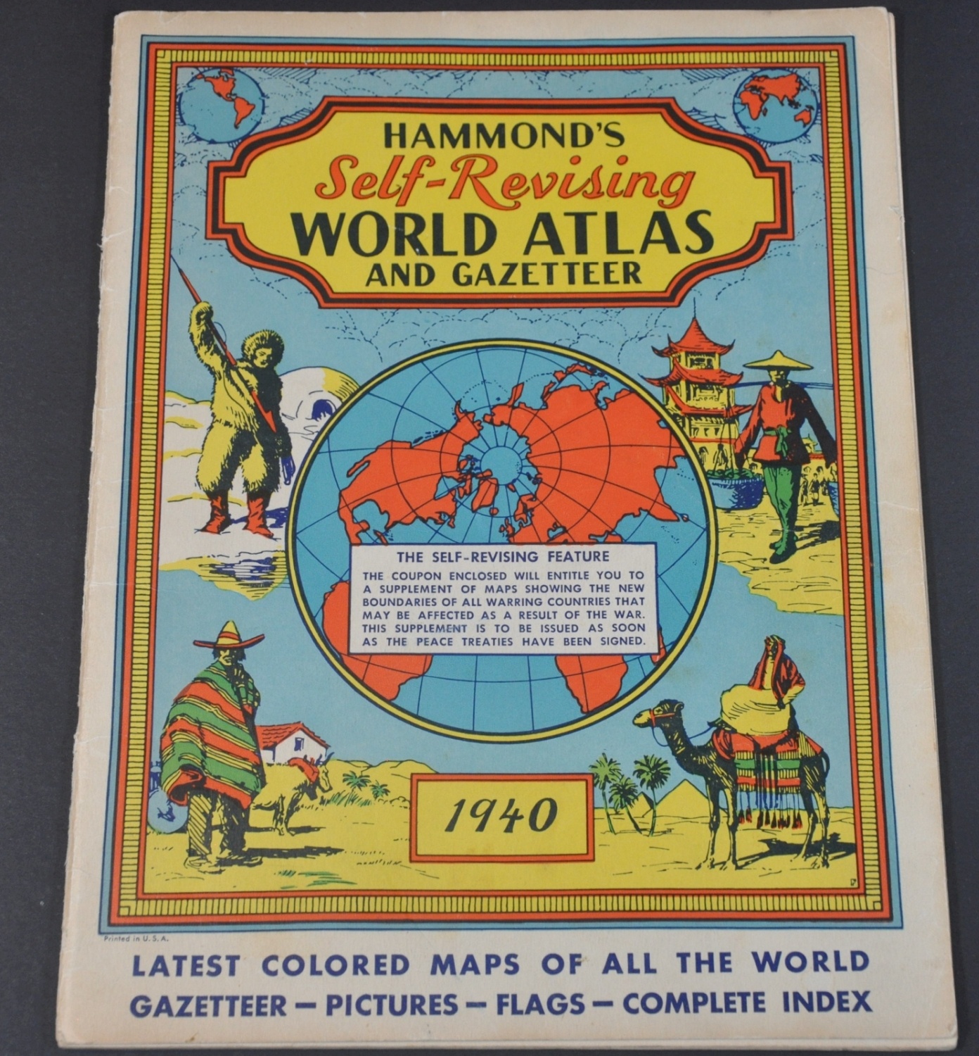
Anticipating the political changes that would result from the eventual end of the war, C.S. Hammond issued this atlas with a corresponding coupon that promised the reader “a supplement of maps showing the new boundaries of all warring countries.”
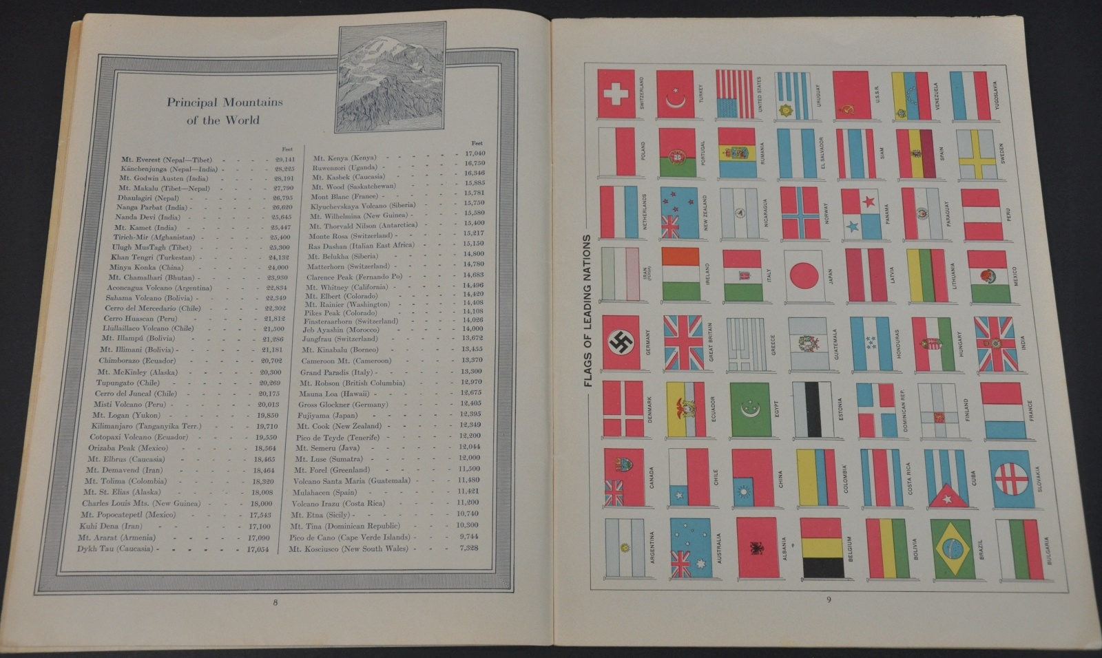
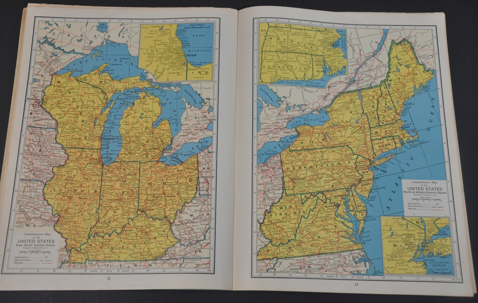
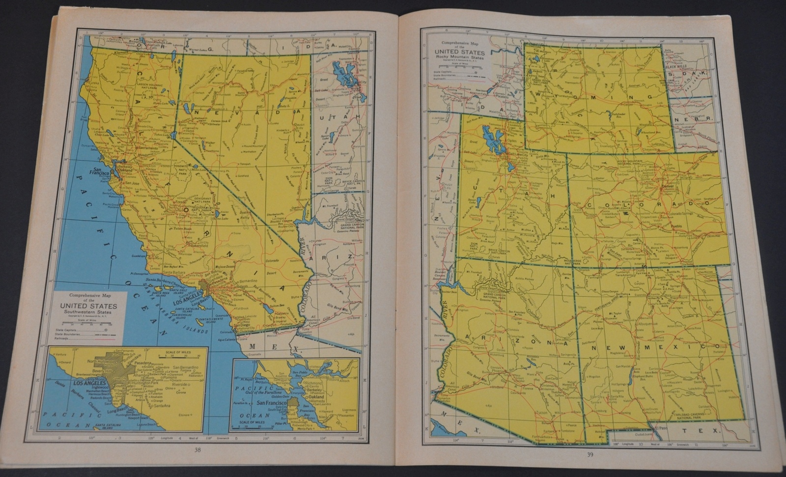
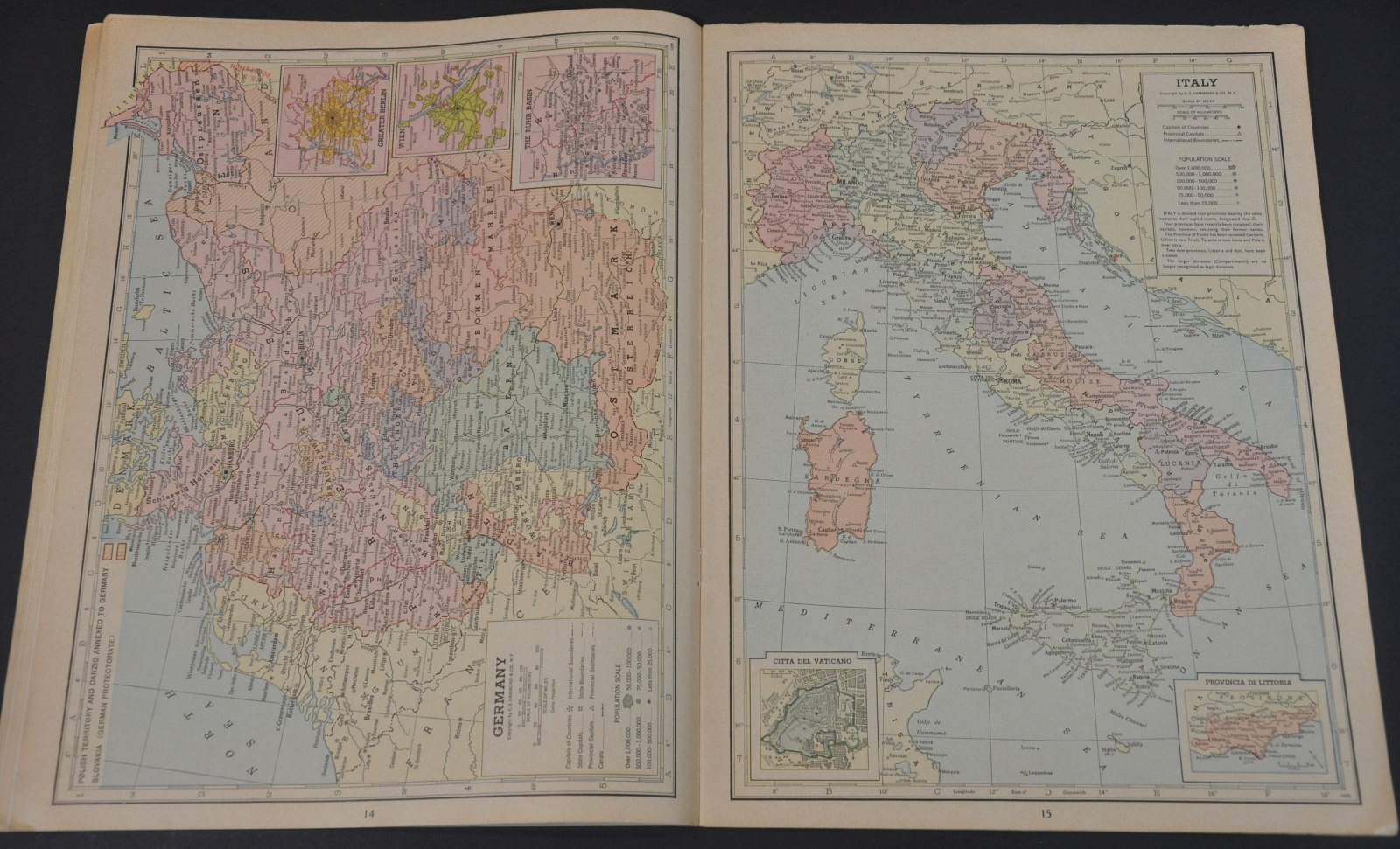
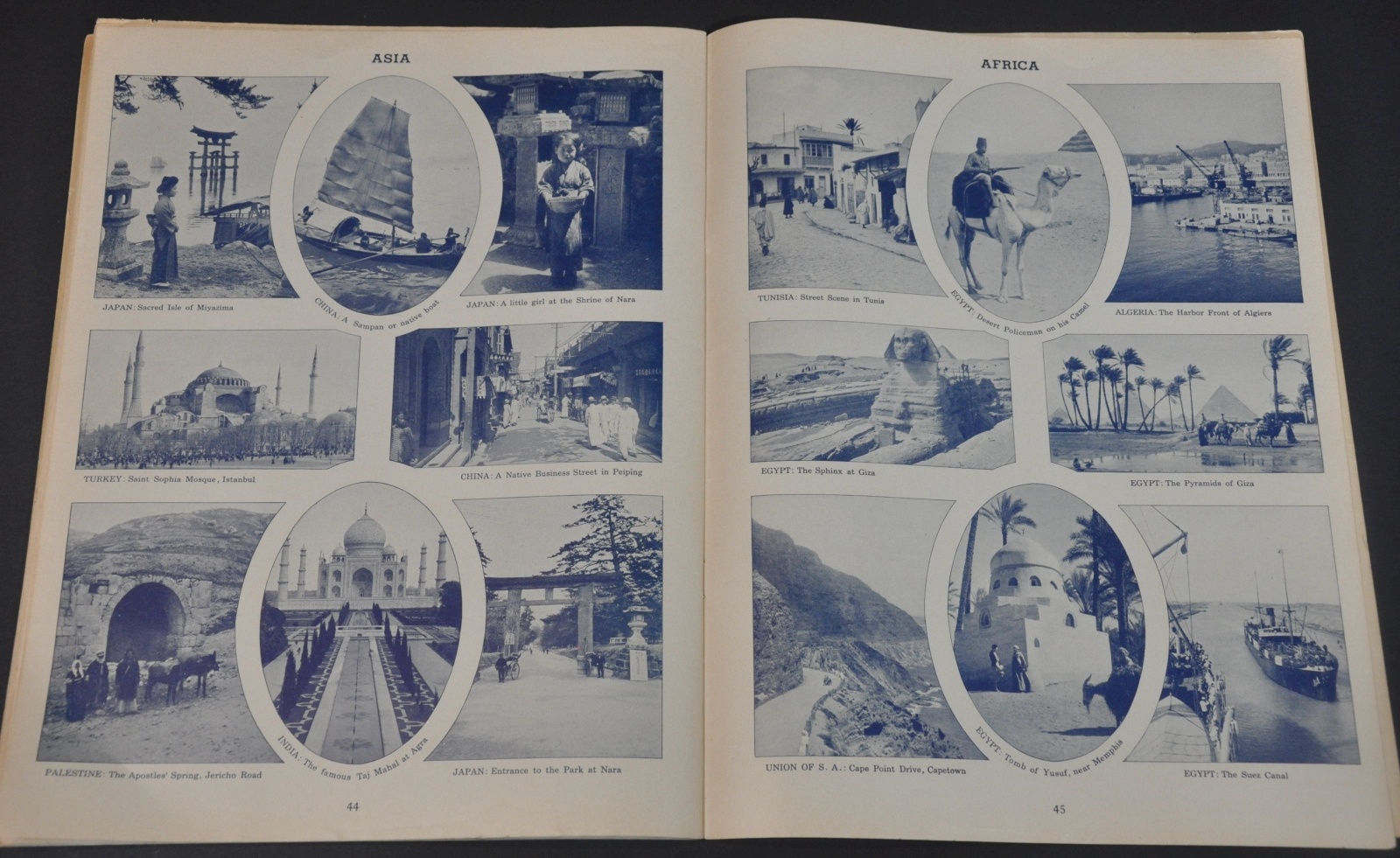
The coupon was never redeemed for this atlas, issued in 1940, and can be found at the top of the front page. The atlas is 47 pages long and includes color maps, tables, illustrations and photographs. The swastika is conspicuously noted among the Flags of Leading Nations, as Hitler’s regime had not yet achieved its odious reputation.
Map Details
Publication Date: 1940
Author: C.S. Hammond & Co.
Sheet Width (in): 9.25
Sheet Height (in): 12.00
Condition: B+
Condition Description: 49 pp. atlas with illustrated pictorial covers and stapled binding. Wrappers water stained and worn spine. Wear to the covers and at the edges of each sheet, but the maps are bright and intact. Good to very good overall..
Out of stock