
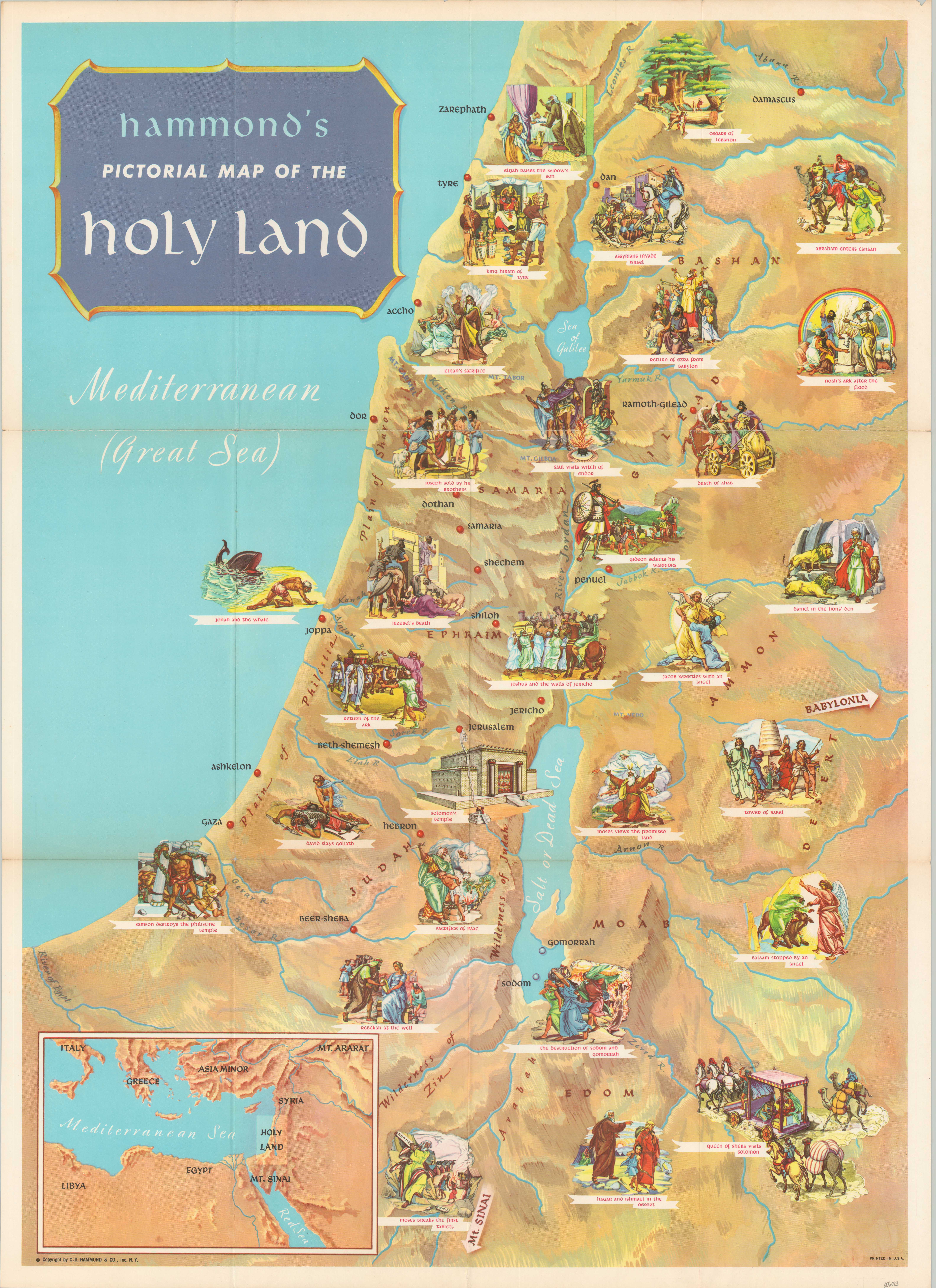
Hammond’s Pictorial Map of the Holy Land
$120.00
Eye-catching map of the Holy Land focusing on the history of the Israelites.
1 in stock
Description
Step back thousands of years into the Biblical past with this vibrant pictorial map of the Holy Land, published around 1960 by C.S. Hammond & Co. of New York. Rudimentary topography and geographic features are overlaid with historic place names like Jericho, Jerusalem, and the destroyed cities of Sodom and Gomorrah (shown in the middle of the Dead Sea). Over two dozen detailed vignettes showcase a variety of scenes, primarily from the Old Testament and Hebrew Bible. An inset map in the lower left offers a convenient reference to the western Mediterranean.
Map Details
Publication Date: c. 1960
Author: C.S. Hammond & Co.
Sheet Width (in): 21
Sheet Height (in): 29
Condition: B+
Condition Description: Two areas of clean separation along old fold lines, below the title block, have been repaired and reinforced on the verso with archival tape. Faint toning visible nearby, on the left side of the page. Light wear along the outer edges of the sheet and small pinholes at the other fold intersections. Good to very good overall. Blank on verso.
$120.00
1 in stock