Hagstrom’s Map of New York City
Manhattan – November, ’45. The War is Over. Our Boys Are Coming Home.
Out of stock

Description
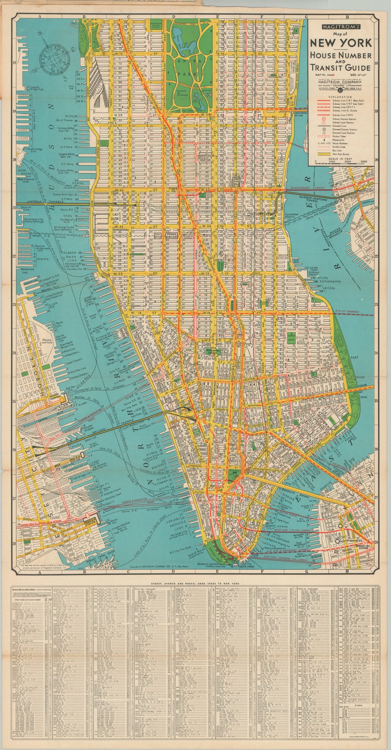
This intricately detailed two-part map of Manhattan was published in November of 1945 by the Hagstrom Map Company, according to the printer’s code in the lower corner. The image splits the borough of Manhattan north and south of 79th street. House numbers, transportation routes (buses, subways, elevated, and surface lines), and playgrounds are identified throughout each, according to the legend. The upper map has an inset showing the various postal zones across the borough, while the lower sheet contains a comprehensive street index.
Source: Hagstrom Date Code
Map Details
Publication Date: 1945
Author: Hagstrom Map Company
Sheet Width (in): See Description
Sheet Height (in): See Description
Condition: A-
Condition Description: Two folding maps, each measuring approximately 31" x 16" and affixed to original black illustrated paper wraps. Moderate wear along fold lines, including several areas of separation, creasing, and some light discoloration. Better than good, but not quite very good condition overall.
Out of stock