
Guantanamo Bay Visitors Map
$95.00
A punchy souvenir map of Guantanamo Bay from the Cold War era.
1 in stock
Description
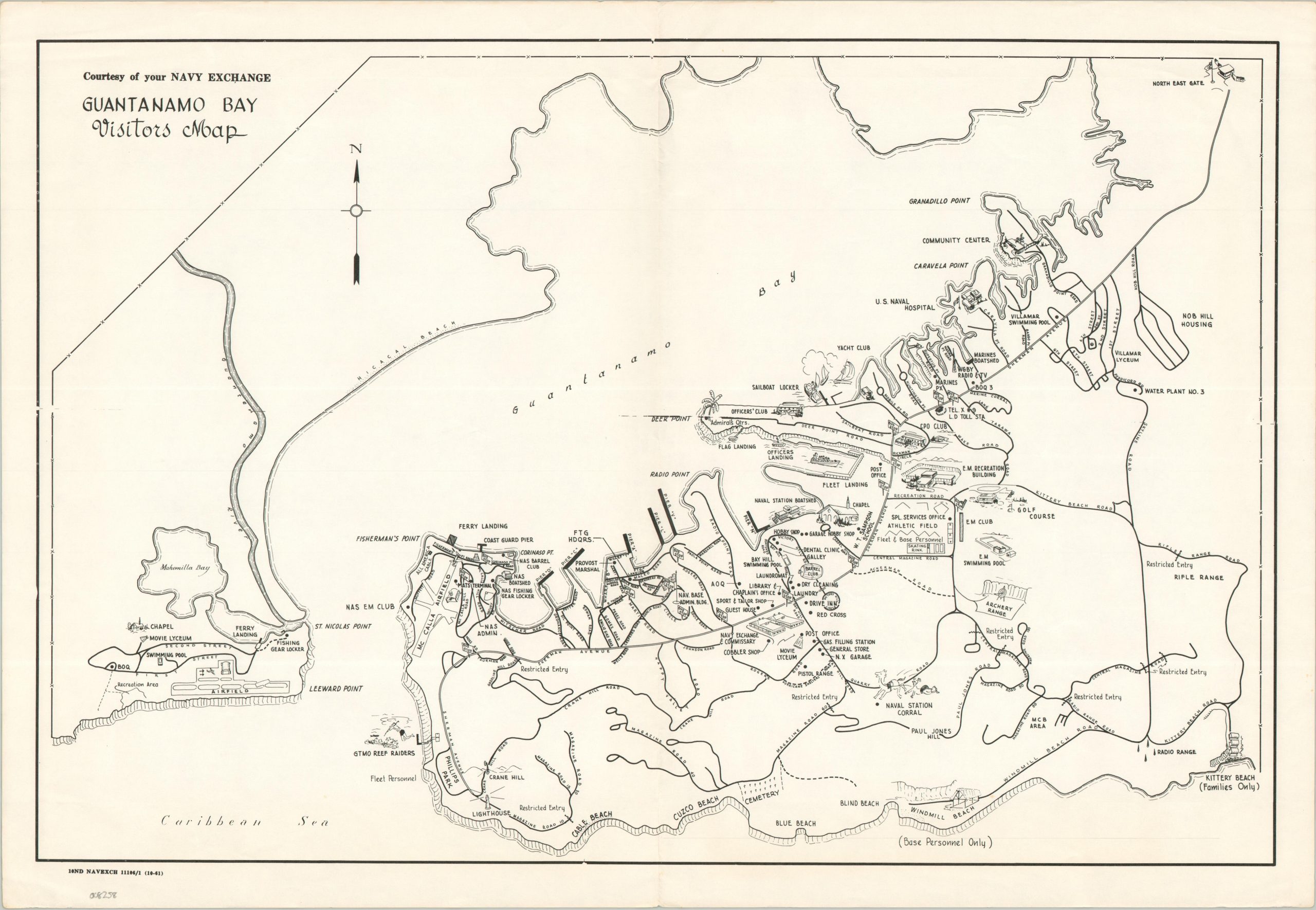
The United States military has occupied Guantanamo Bay since 1903, under an indefinite lease that originally established a naval coaling station. By 1961, the base had expanded to cover nearly 45 square miles at the southeast corner of Cuba. This map, published by the Navy Exchange in 1961, captures the base at a critical historical crossroads—just months after the Bay of Pigs invasion and a year before the Cuban Missile Crisis.
The map illustrates a self-contained American world, highlighting facilities for Base Personnel, Families, and Fleet Personnel. It features charming pictorial icons for recreation, including golf courses, reef raiding sites, and two outdoor ‘movie lyceums.’ However, the inclusion of multiple Restricted Entry gates hints at the sharpening Cold War tensions. While hundreds of Cuban nationals previously commuted to the base daily for work and leisure, the post-1959 political shift would soon transform this shared space into one of the most heavily fortified borders in the world.
Map Details
Publication Date: 1961
Author: United States Navy Exchange
Sheet Width (in): 21.40
Sheet Height (in): 15.00
Condition: A-
Condition Description: Creasing along old vertical and horizontal folds and light wear in the margins, with some wrinkling in the upper center. Good condition overall.
$95.00
1 in stock