
Greater Miami Official Tour Map
$50.00
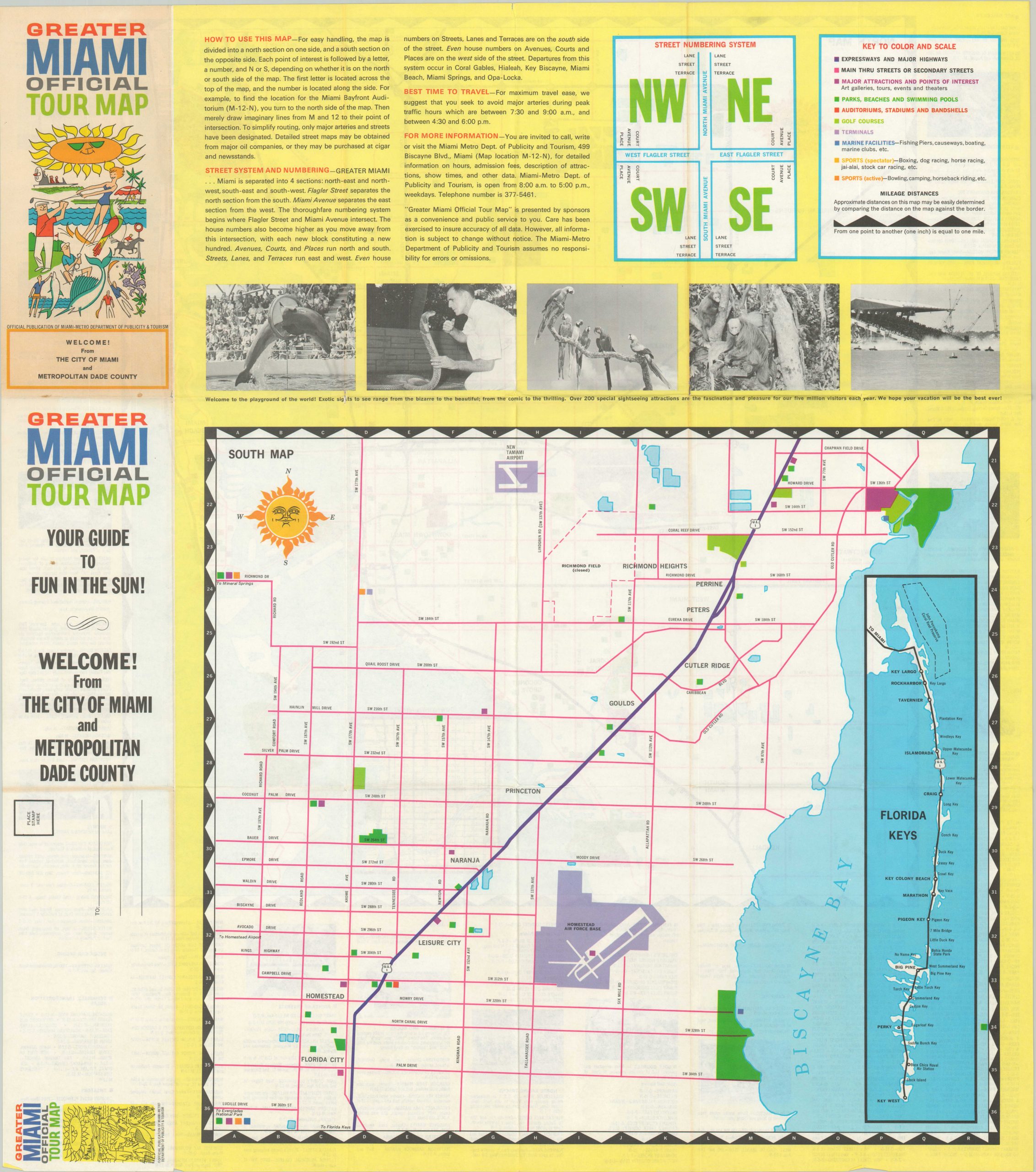
Brightly colored map of Miami issued by the local tourism bureau.
1 in stock

Description
This easy to read map of Miami was published around 1970 by Litho Arts, Inc. on behalf of the Miami Metro Department of Publicity and Tourism. Blocks of ten different colors represent various activities and attractions across the region – Expressways (black) , Through Streets (red), Major Attractions (purple), Parks (green), Auditoriums (red), Golf Courses (light green), Terminals (magenta), Marine Facilities (purple), Spectator Sports (yellow), and Active Sports (orange).
Accompanying text provides further details on the various points of interest, general information about the city, and recommendations for using the map. A similar map of South Miami with an inset of the Florida Keys can be found on the verso.
Map Details
Publication Date: c. 1970
Author: Miami Metro Department of Publicity and Tourism
Sheet Width (in): 23.5
Sheet Height (in):
Condition: B+
Condition Description: Creased along originally issued fold lines and small tears along the outer edges of the sheet. Small holes at fold intersections from where the paper has separated. Good to very good overall.
$50.00
1 in stock