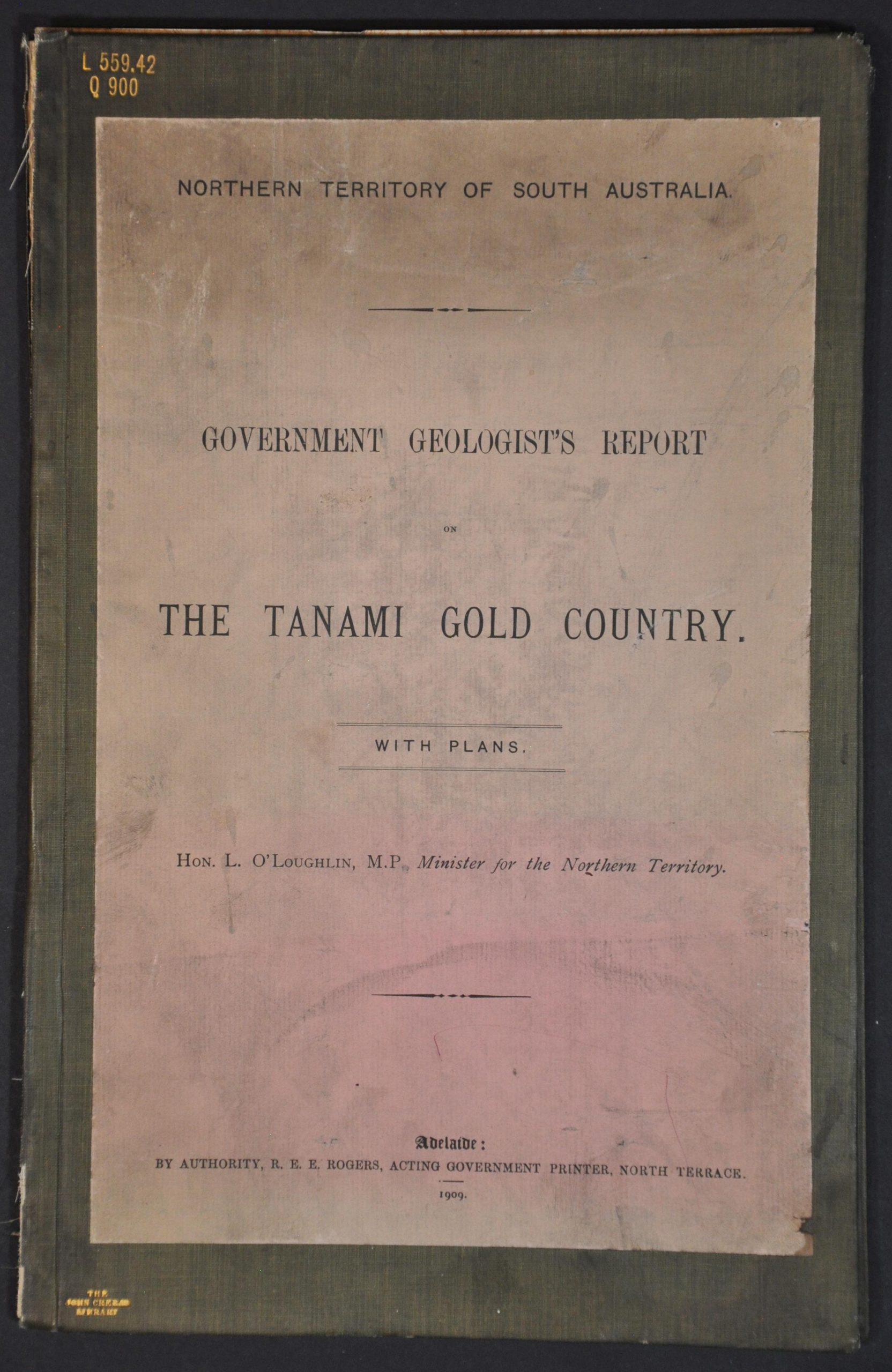
Government Geologist’s Report on the Tanami Gold Country
Original price was: $175.00.$145.00Current price is: $145.00.
Striking it rich in Australia’s Northern Territory.
1 in stock

Description
This official scientific report on the Tanami Gold Region was compiled by Australian geologist Henry Yorke Lyell Brown in 1909, about a decade after gold was first discovered in quantity by Allan Arthur Davidson. Brown undertook an exhausting 3-month expedition across parts of the Northern Territory, culminating in this 12-page journal with accompanying geological observations.
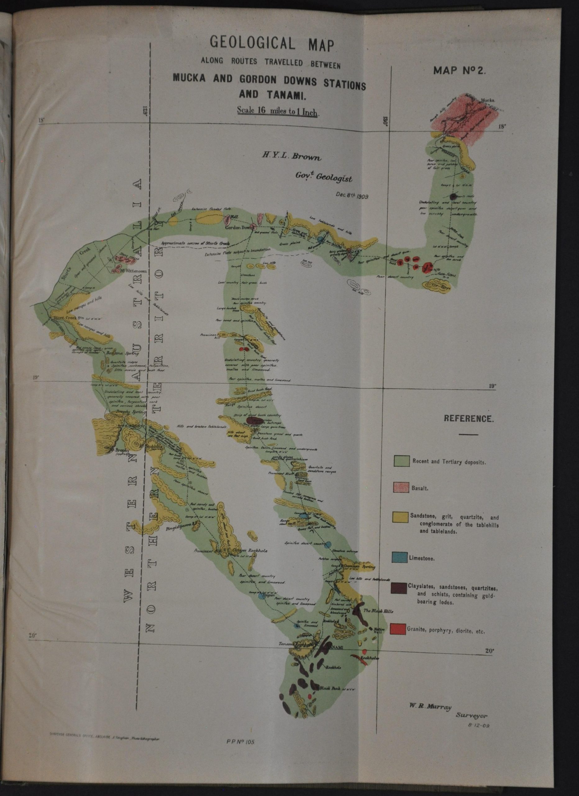
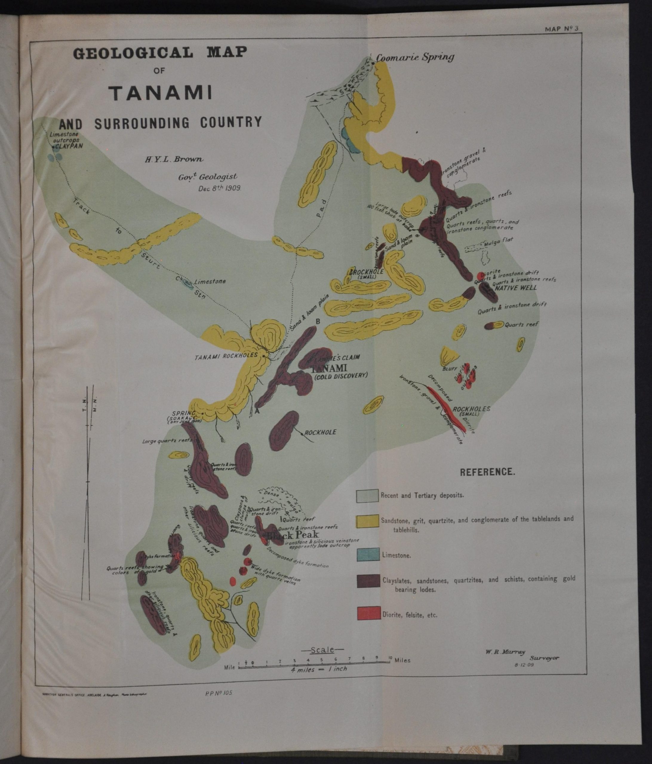
A large fold-out, credited to A. Vaughan of Adelaide, is titled Geological Map Along Route from Pine Creek to Sturt’s Creek, laid down on Mr. L.A. Well’s Topographical Map of the Victoria River and Adjacent Country. It shows Brown’s route with a dotted line and uses vibrant colors to highlight deposits of various minerals.
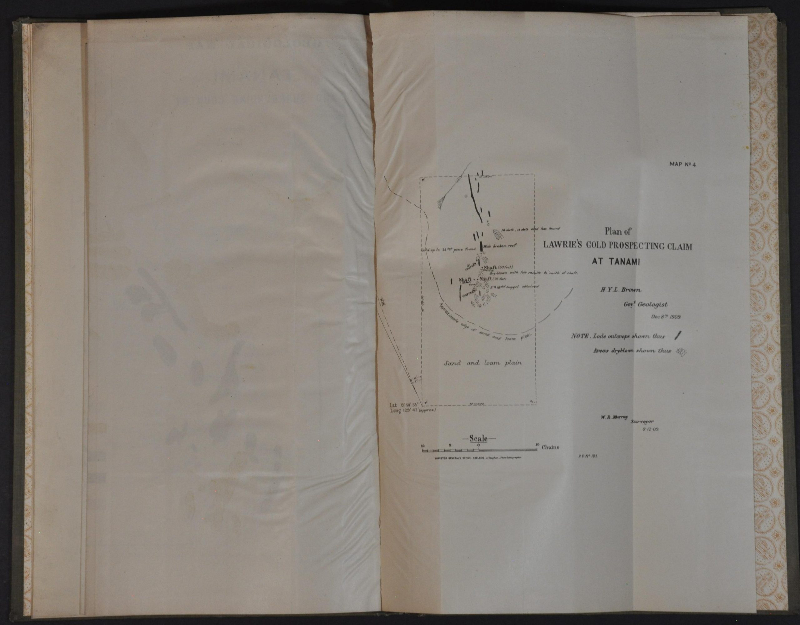
Two similar geological maps of increasingly larger scale follow, along with a Plan of Lawrie’s Gold Prospecting Claim at Tanami – all surveyed by W.R. Murray. The volume was printed in Adelaide by Government Printer R.E.E. Rogers.
Map Details
Publication Date: 1909
Author: Henry Yorke Lyell Brown
Sheet Width (in): 8.5
Sheet Height (in): 13
Condition: B+
Condition Description: Ex-libris from the John Crerar Library. Bookplate on custom endpapers and rubberstamped throughout. Bound in full green cloth (spine split) with a paste down title and embossed details. Twelve pages and a large folding map (about 16.5" x 22") with an irregular 2" closed tear where bound (no loss), plus three smaller folding maps. Boards have chipped upper corners and contents are slightly wrinkled and show scattered soiling and small edge tears. Good condition overall.
Original price was: $175.00.$145.00Current price is: $145.00.
1 in stock