Gorand’s Street Map of Chicago and Suburbs
CTA routes across Chicago in the mid-20th century.
Out of stock
Description
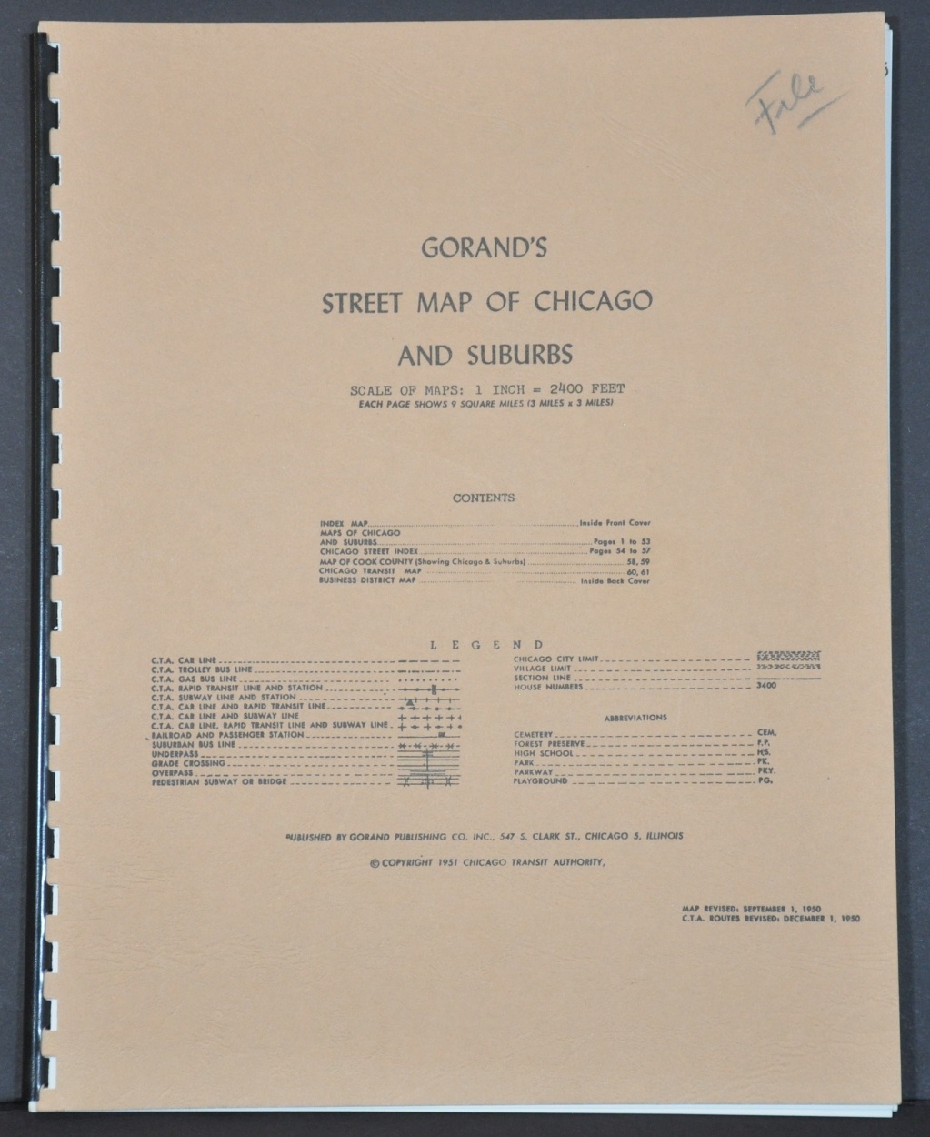
This atlas of the city of Chicago and its immediate suburbs was created in 1950 by the Chicago Transit Authority (CTA), and published in January of 1951 via exclusive contract by the Gorand Publishing Company, Inc. The CTA began operations in 1947 upon the acquisition of the Chicago Rapid Transit Company and the Chicago Surface Lines.
The year after the atlas was printed, the agency acquired the bus lines of the Chicago Motor Coach Company and obtained its broadest transportation mandate across Cook County. According to a publisher’s note on the front cover,
“By utilizing its city wide organization to conduct its own research, which included field surveys, aerial photographs, etc., and correlating this research with that of Federal, State and City Agencies, the Authority was able to achieve a high degree of accuracy. The map presented herein is the completed result of these extensive efforts and, we believe, is the finest map of its type available.”
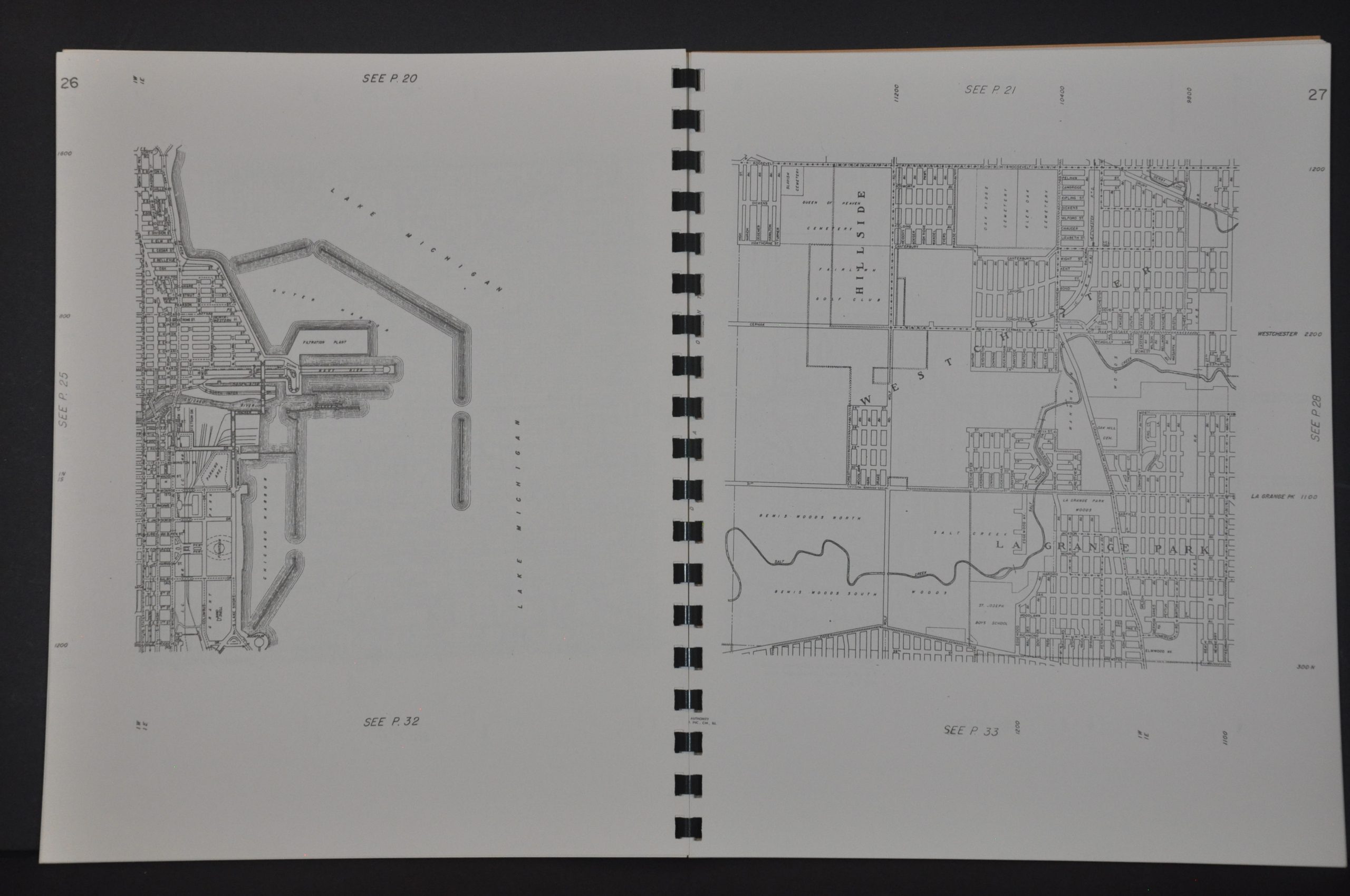
Each map covers about 9 square miles and shows the various transportation routes in operation (legend on the front cover); as well as schools, parks, house numbers, and much more.
Map Details
Publication Date: 1951
Author: Chicago Transit Authority
Sheet Width (in): 8.5
Sheet Height (in): 10.75
Condition: A
Condition Description: 60 pp. atlas with spiral binding and original brown stiff paper covers. Fine condition.
Out of stock


