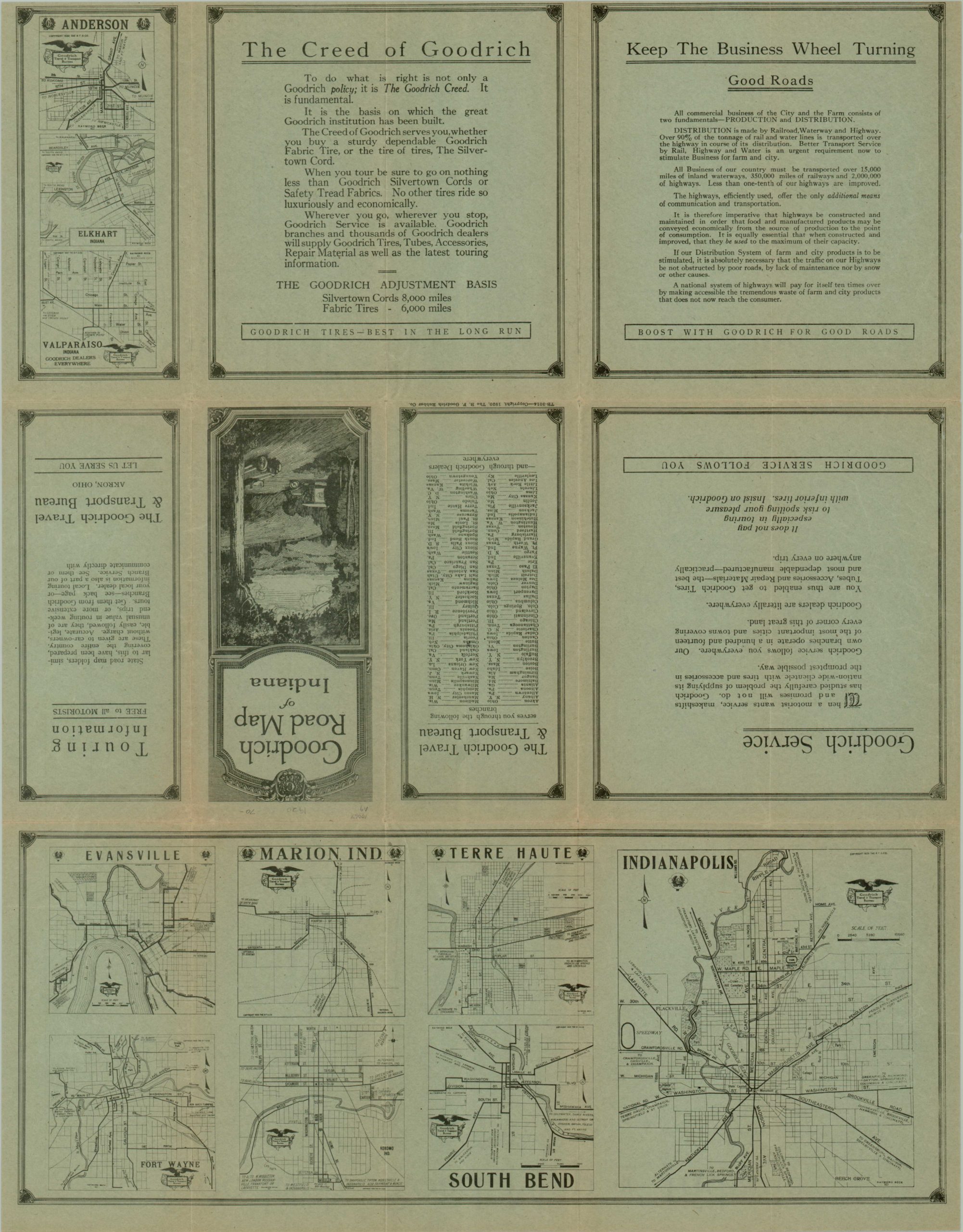
Goodrich Road Map of Indiana
$125.00
Early promotional road map of Indiana published by the Goodrich Corporation.
Description
The Federal Aid Road Act of 1916 was the first legislation for federal road funding in the United States, and stipulated that the U.S. Government would split costs on construction and improvement with the states 50-50 on up to six percent of the roads statewide. The act was prompted by deplorable road conditions. According to the U.S. Department of Transportation, early 20th century roads were “often little more than trails that were muddy in the rain and dusty the rest of the time. Any long trip by automobile required not only time, patience, and ingenuity, but tire-patching equipment, tools, spare parts, and emergency food and fuel.” With the passing of the legislation, road conditions throughout the United States began to improve.
One company who was poised to take advantage of the new wave of automobile travelers was the Goodrich Corporation, who published this map to be given away at one of the 100+ service stations in operation. The map shows a myriad of roadways, each labeled according to its method of construction; the solid lines being brick, asphalt, or concrete, hashed lines are stone or gravel, and the open lines are dirt. Small towns, many of which developed as stopovers near the early roadways, can be seen in abundance throughout the state.
On the verso are inset maps of Anderson, Evansville, Indianapolis, South Bend, Terre Haute, Marion and Fort Wayne to help the motorist navigate their way through urban environments, as well as rural.
Map Details
Publication Date: 1920
Author: Goodrich Corporation
Sheet Width (in): 18.5
Sheet Height (in): 24
Condition: A-
Condition Description: The map is in excellent condition, with some wear along the fold lines and minor discoloration.
$125.00


