
Go All the Way on US 54
Take U.S. 54 “from the Land of Lincoln to the Land of Conquistadors”
Out of stock
Description
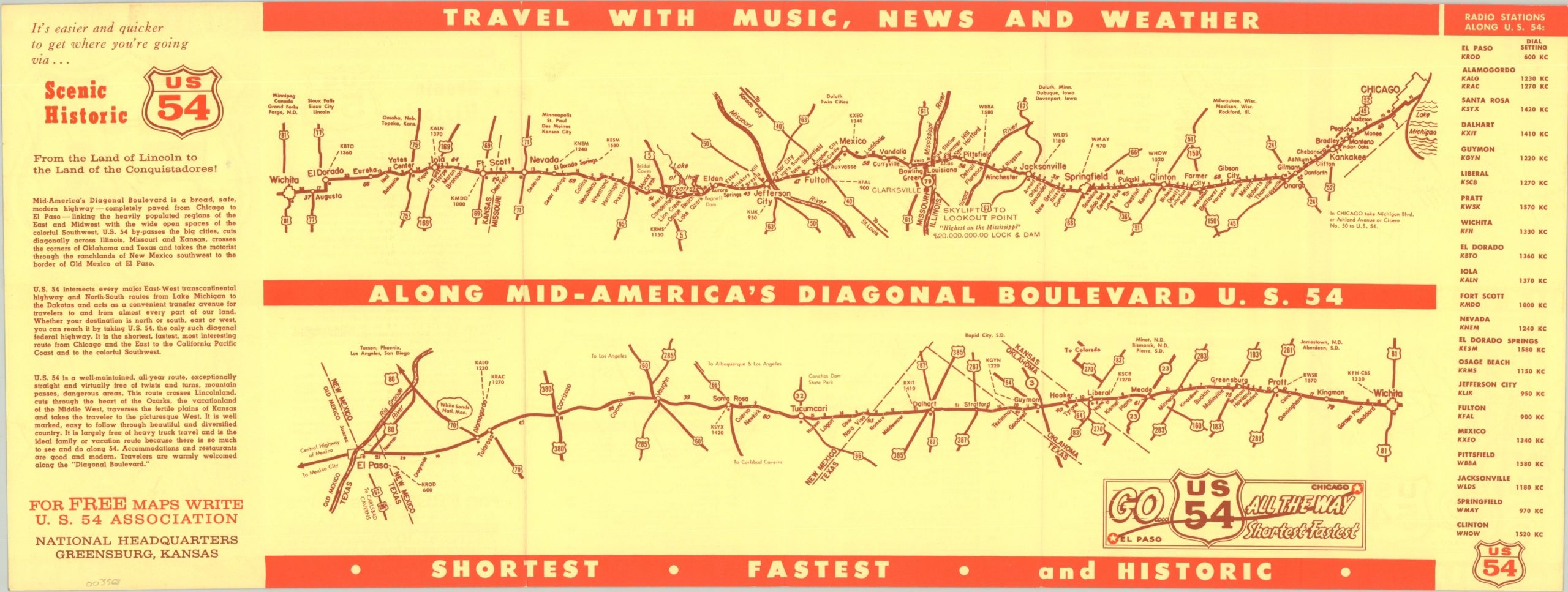
“Travel with music, news, and weather along Mid-America’s diagonal boulevard – U.S. 54” boldly proclaims this promotional route map, issued around 1950 by the U.S. 54 Association of Greensburg, Kansas. It shows the approximately 1,500-mile highway running between downtown Chicago and El Paso, split into two sections divided at Wichita.
A table of radio stations on the right side lets the user stay in tune along the entire trip, while an index on the verso summarizes the various towns encountered across each state. Population statistics are given according to the 1950 census, hence the approximated date.
Map Details
Publication Date: c. 1950
Author: U.S. 54 Association
Sheet Width (in): 22.20
Sheet Height (in): 8.40
Condition: A
Condition Description: Creased along fold lines and old rubberstamp on the front cover. Near fine.
Out of stock