
[Globo terrestre]
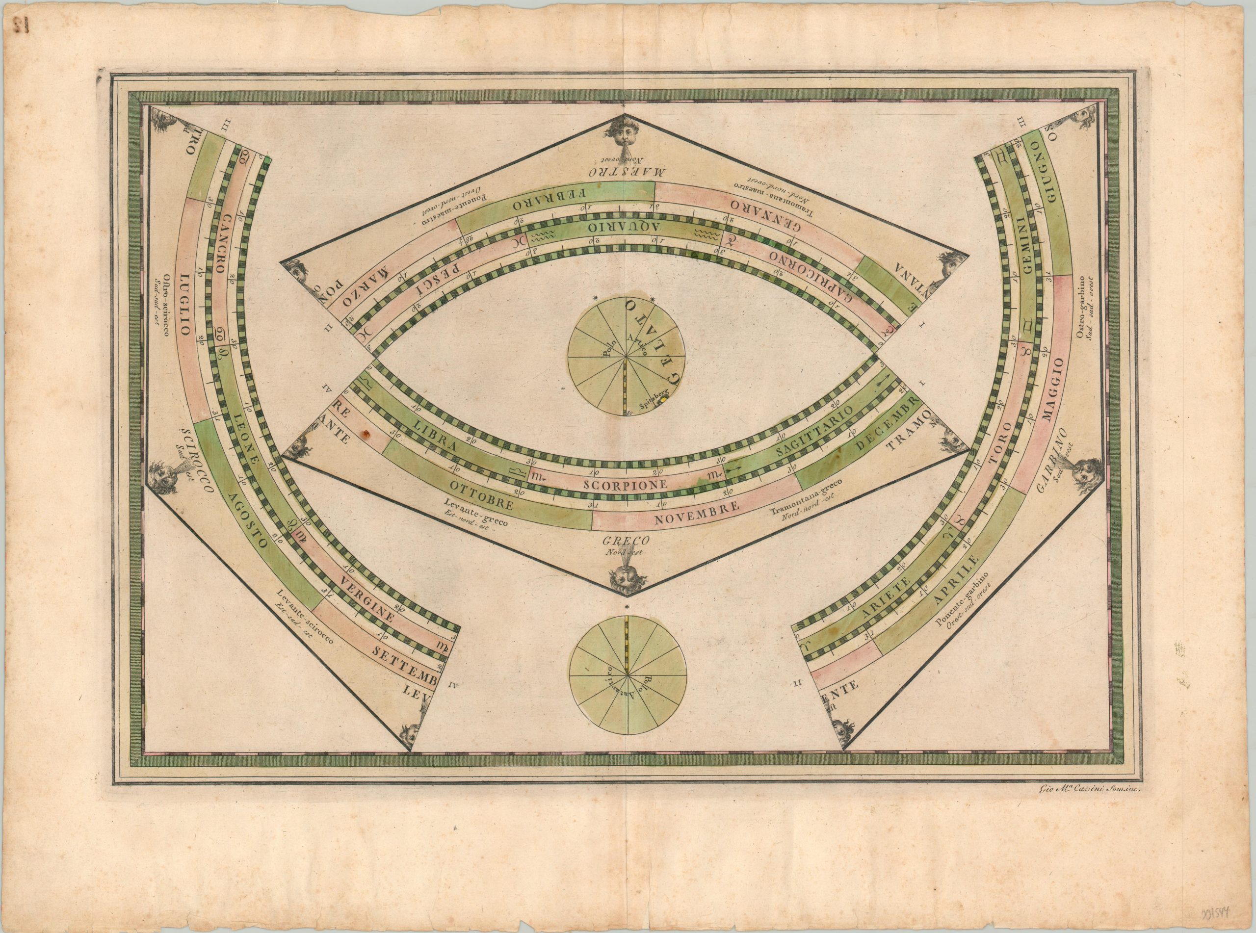
Unique print intended for use around a globe.
Out of stock
Description
This disjointed image is one of four sheets that were published by Giovanni Cassini in 1792 and intended to be cut out and reconstructed around the outer ring of a terrestrial globe. Decorative windheads associated with one of the thirty two primary directions of the compass rose can be seen along the edge, while portions of the 360 degree ecliptic are associated with certain astrological signs.
The sheet also features the labels for the north and south poles, the former of which features a small portion of the landmass of Spitsbergen in Norway. At the time of publication, this was one of the northernmost populated areas on earth.
Map Details
Publication Date: 1790
Author: Cassini
Sheet Width (in): 23.50
Sheet Height (in): 17.40
Condition: B
Condition Description: The sheet is moderately toned from age and features several spots of faint staining, most evidently along the vertical centerfold. The margins are worn and feature scattered spotting, but the print remains in good condition. Issued on thick woven paper with oxidized original hand color.
Out of stock