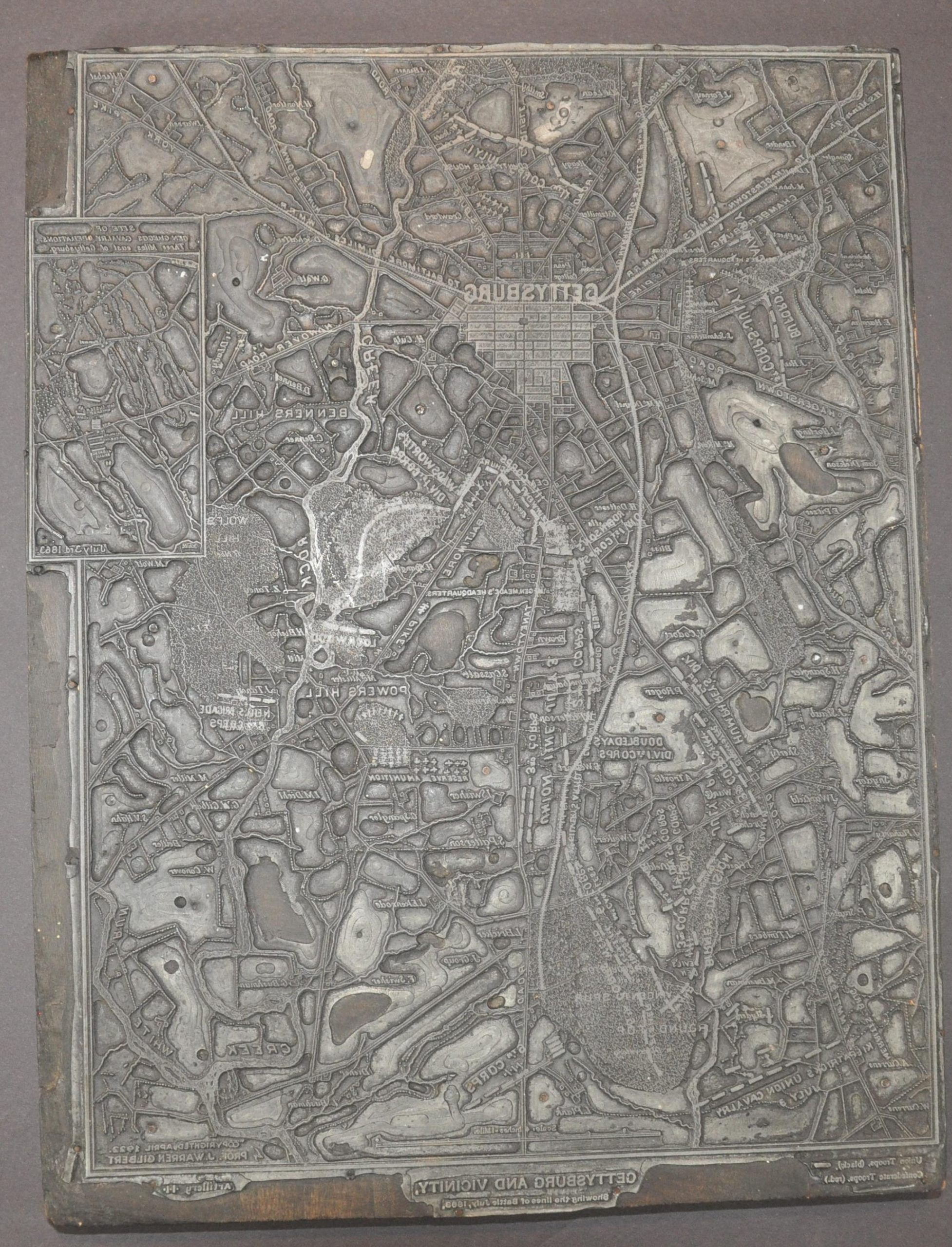
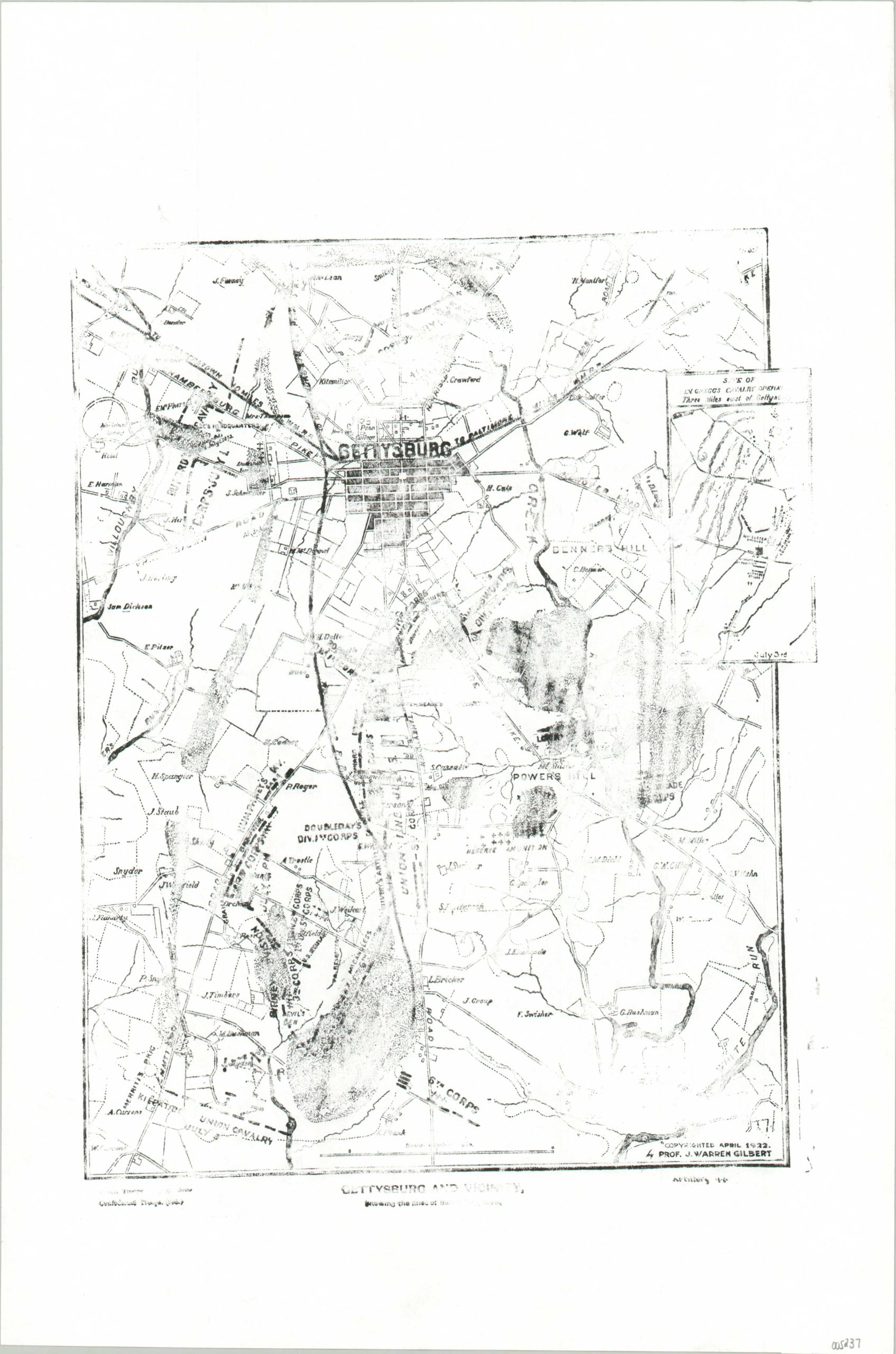
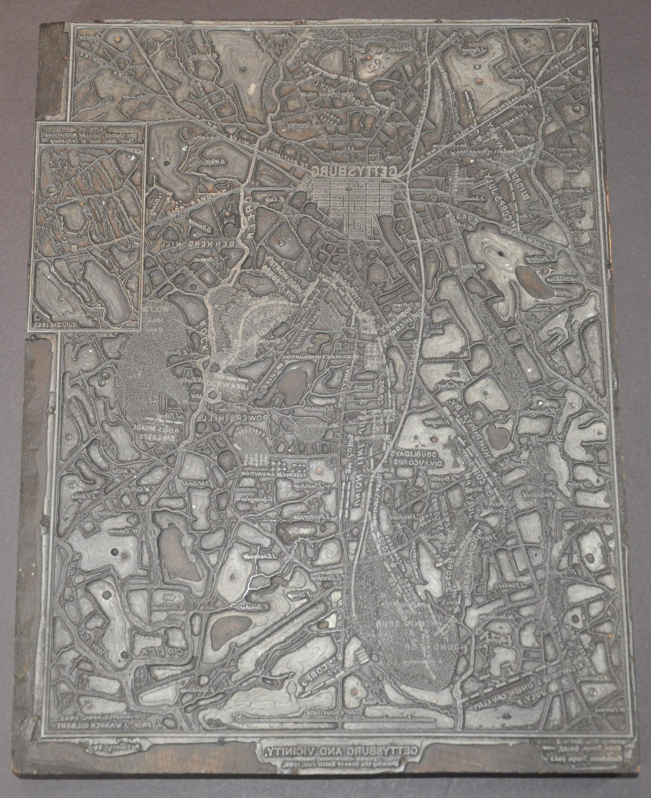
Gettysburg and Vicinity showing the lines of battle, July, 1863
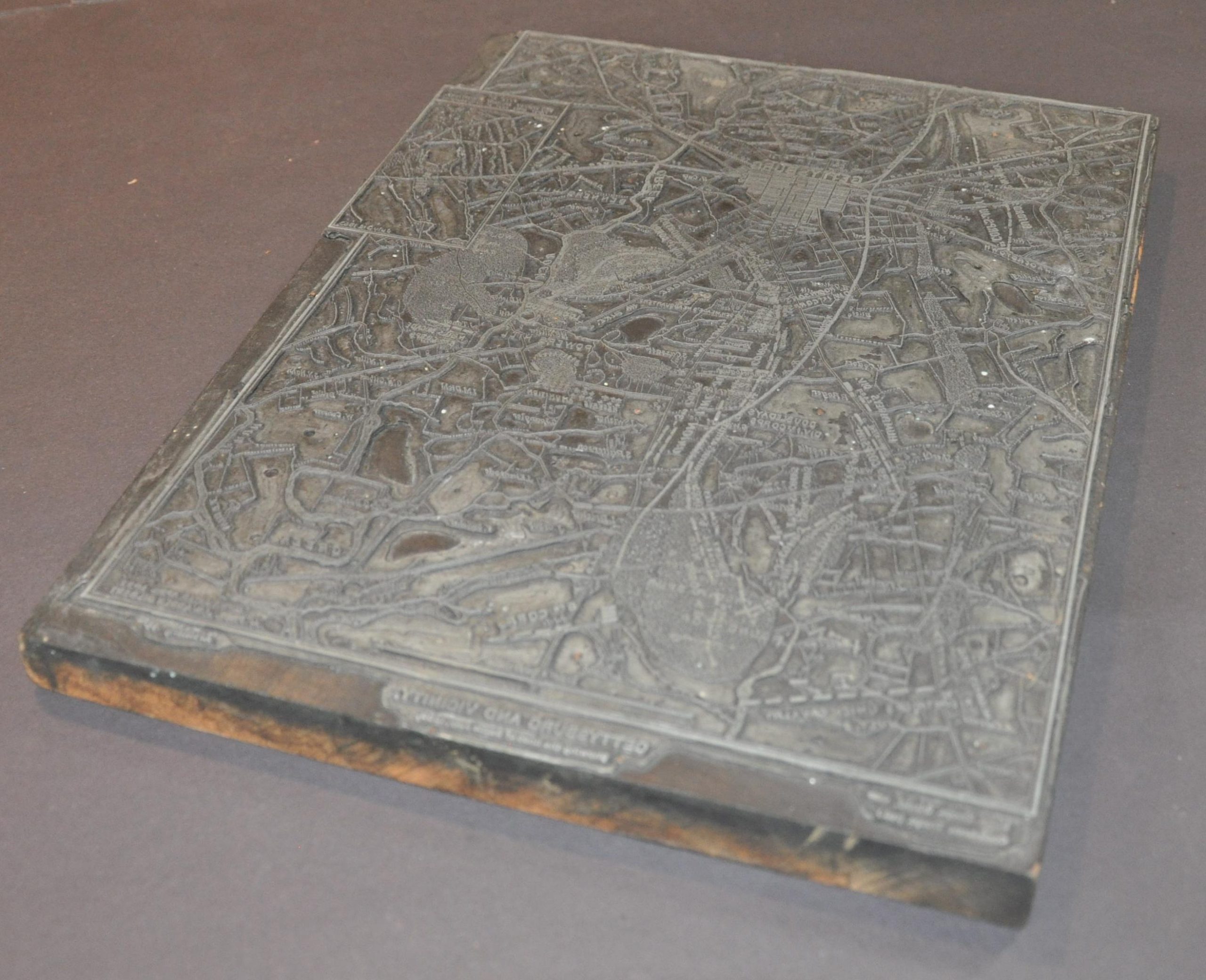
One of two printer’s blocks used to create a 1922 map of the Gettysburg Battlefield.
Out of stock
Description
This unusual and uncommon piece of Civil War commemorative history was constructed to print (the majority of) a map of the July, 1863 battlefield around Gettysburg, Pennsylvania. It was created in 1922 to illustrate Blue and Gray a History of the Conflicts During Lee’s Invasion and Battle of Gettysburg, by Professor J. Gilbert Warren and published in Harrisburg, PA by the Evangelical Press.
Topographic details, geographic features, Union troop dispositions, individual buildings, and transportation routes are shown in the corresponding proof, but the Confederate forces (in red) would have been printed using an entirely separate block. An inset of General Gregg’s cavalry operations can be seen in the center-right.
Map Details
Publication Date: 1922
Author: J. Gilbert Warren
Sheet Width (in): 10
Sheet Height (in): 13.25
Condition: A-
Condition Description: Large zinc printer's block, measuring about 10" x 13.25" from end to end. Discolored and worn from use, with some chipping to the wood block visible around the outer edges. Remains in very good condition overall - sturdy and ready for printing! Includes a proof sheet of the map.
Out of stock