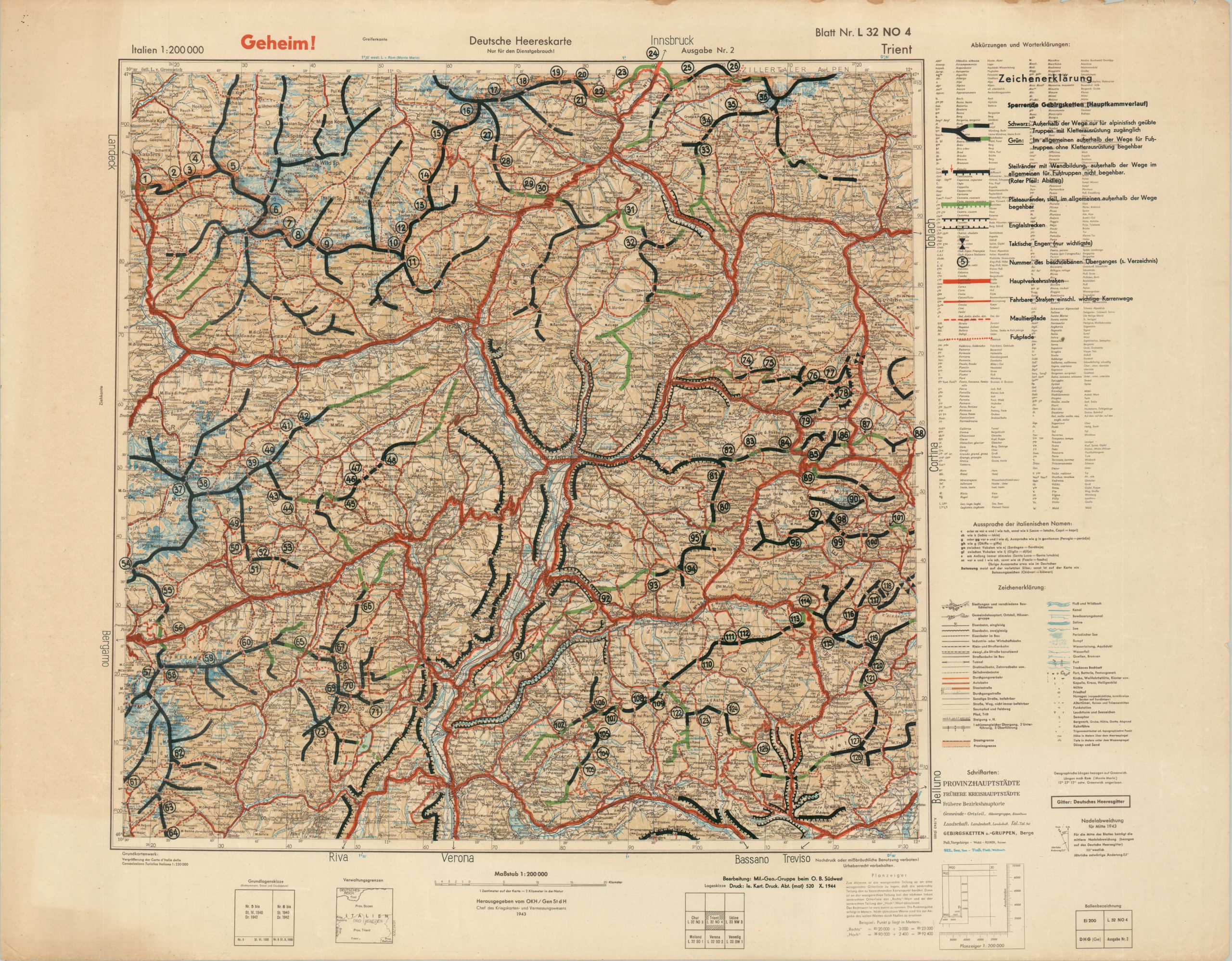
[German Army Map – Trento, Italy]
$650.00
German military map of Trento issued shortly before the “Battle of the Brenner.”
1 in stock
Description
The successful Allied capture of Sicily and subsequent planned invasion of the mainland brought the fall of Mussolini’s fascist government in July 1943. Hitler, determined to protect Germany’s southern flank, insisted his former ally should remain in the fight and occupied much of the northern half, setting up the puppet Italian Social Republic (RSI) and inaugurating a period of further civilian and military strife across the mountainous region.
This rare map showing a large region around the city of Trento was issued in late 1944 as part of those defensive operations, after the area had been reorganized by the Wehrmacht as part of the Operational Zone of the Alpine Foothills (separately from the RSI). A topographic base map dated 1943 has been overprinted with lines and numbers detailing the local transportation network. Specialized equipment was required for some of the mountain paths.
The map, marked Secret, was published in October 1944 by Kartendruckerei-Abteilung (Motorized) 520, a German mapping unit. At the time it was issued, Allied forces were gradually pushing northward and tightening the noose around the Third Reich.
Map Details
Publication Date: 1944
Author: Kartendruckerei-Abteilung (Motorized) 520
Sheet Width (in): 35.4
Sheet Height (in): 27.5
Condition: A
Condition Description: Overprinted sheet with moderate wear along the outer edges, including some small chips in the upper right corner. Faintly wrinkled in a few spots and light toning in the lower left corner. Very good to near fine overall. Blank on verso.
$650.00
1 in stock

