Geologic Atlas of the United States – Chicago Folio
$245.00
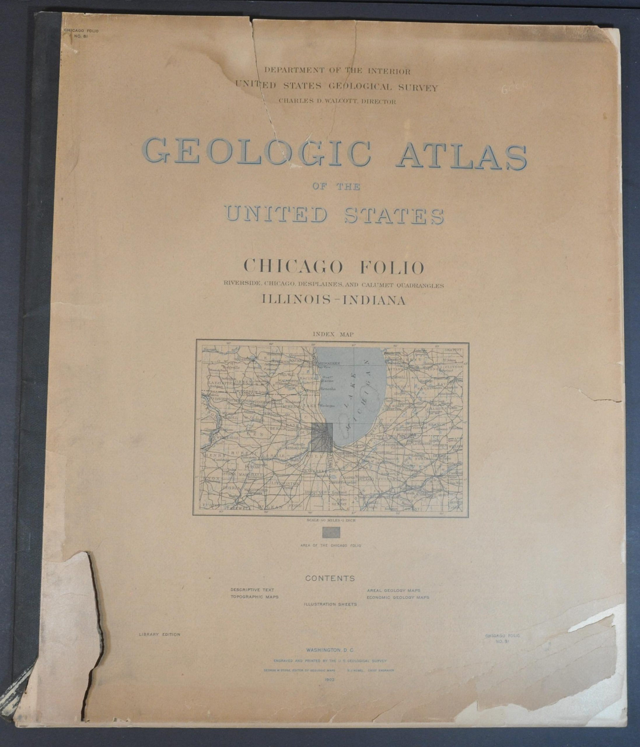
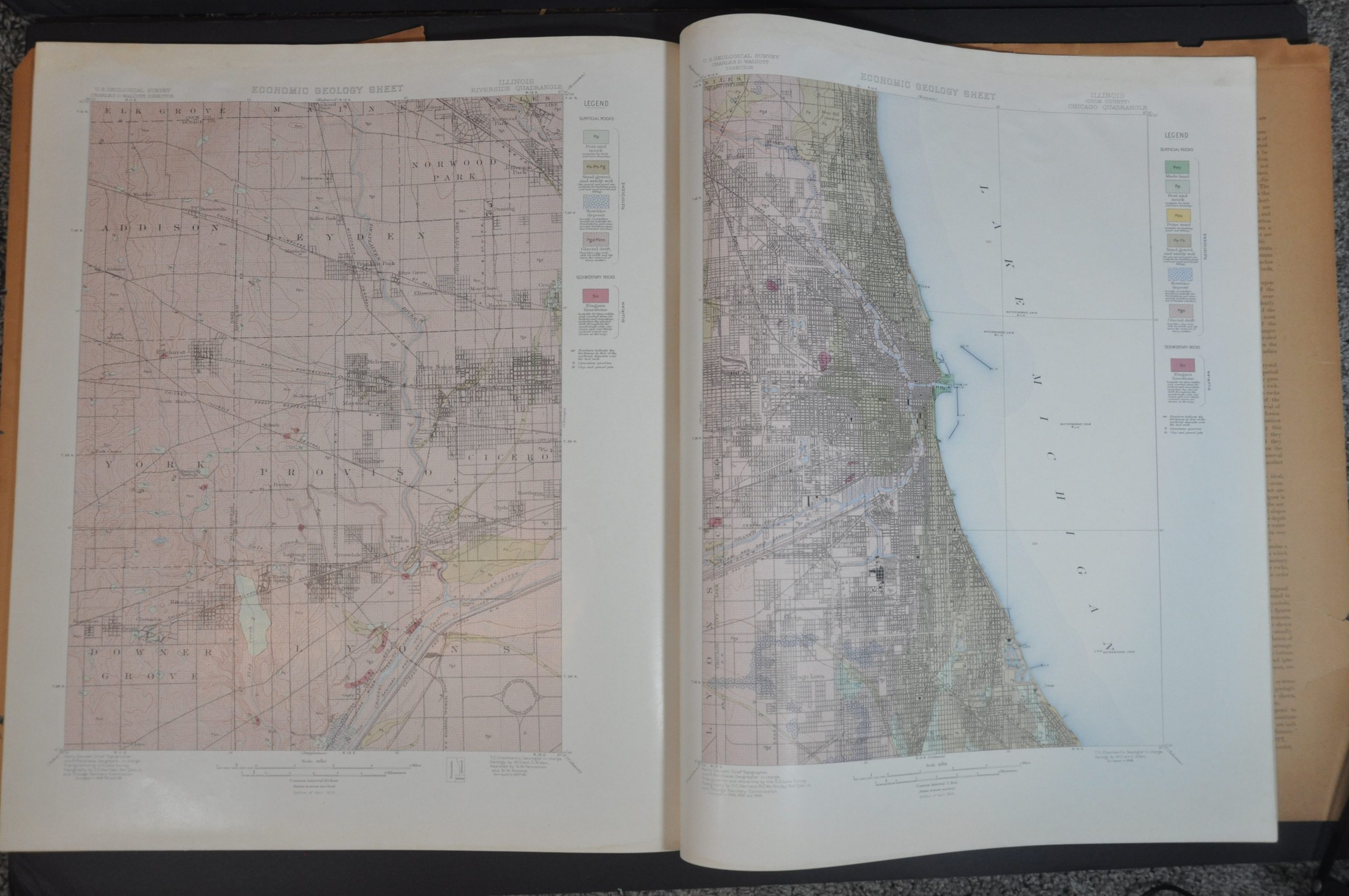
Geologic folio atlas of “The District” around Chicago.
1 in stock
Description
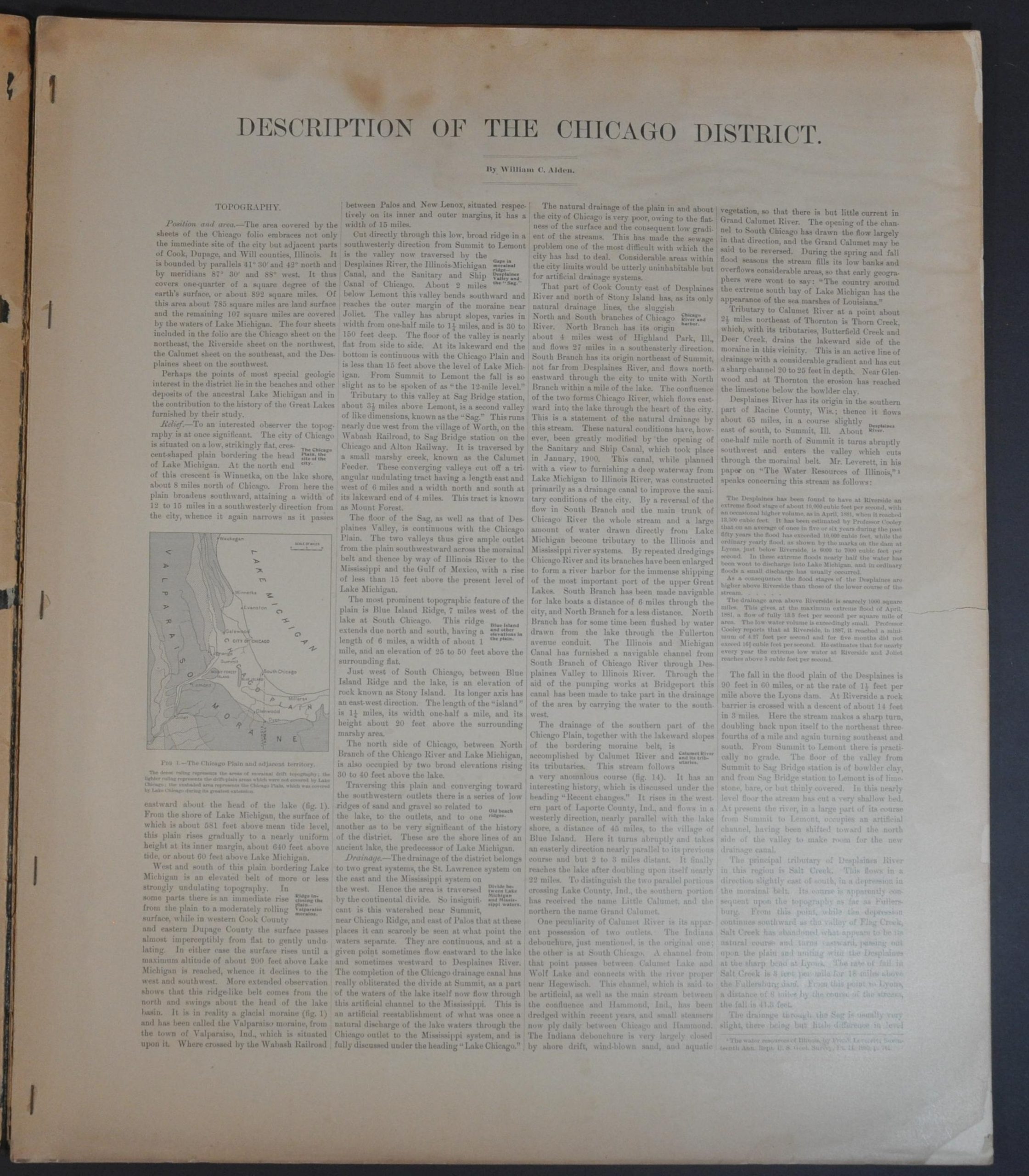
Chicago’s unique geographic location on the continental divide between the Great Lakes and Mississippi watersheds contributed tremendously towards the city’s exponential growth during the 19th century and early 20th century. The geologic history of the city is explained in full in the fifteen pages of descriptive text accompanying this atlas of the region, issued by the United States Geologic Survey in 1902 under director Charles D. Walcott.
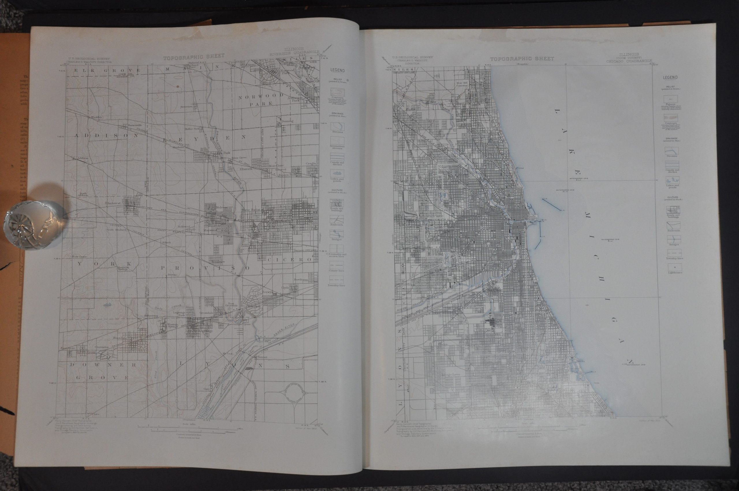
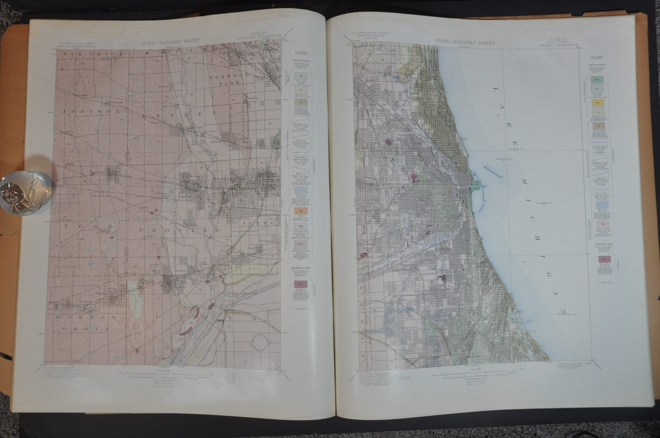
In addition to the dense, scholarly narrative written by William C. Alden, the volume also contains two sheets of photographs identifying geologic anomalies and twelve maps identifying the topography, areal geology, and economic geology of the Chicago District.
Map Details
Publication Date: 1902
Author: Charles D. Walcott
Sheet Width (in): 18.5
Sheet Height (in): 21.75
Condition: B+
Condition Description: Complete 42. pp. atlas with stapled binding, separate from its stiff paper covers. Wraps are present, but brittle from age and heavily chipped. The first 14 pages of text are toned and have a 2" irregular tear along the fore edge. Maps show a 1" strip of light damp staining across the top of each sheet. Between good and very good overall.
$245.00
1 in stock

