
[Geography Map Book]
A student’s geography notebook from the early days of the Republic of Turkey.
Out of stock
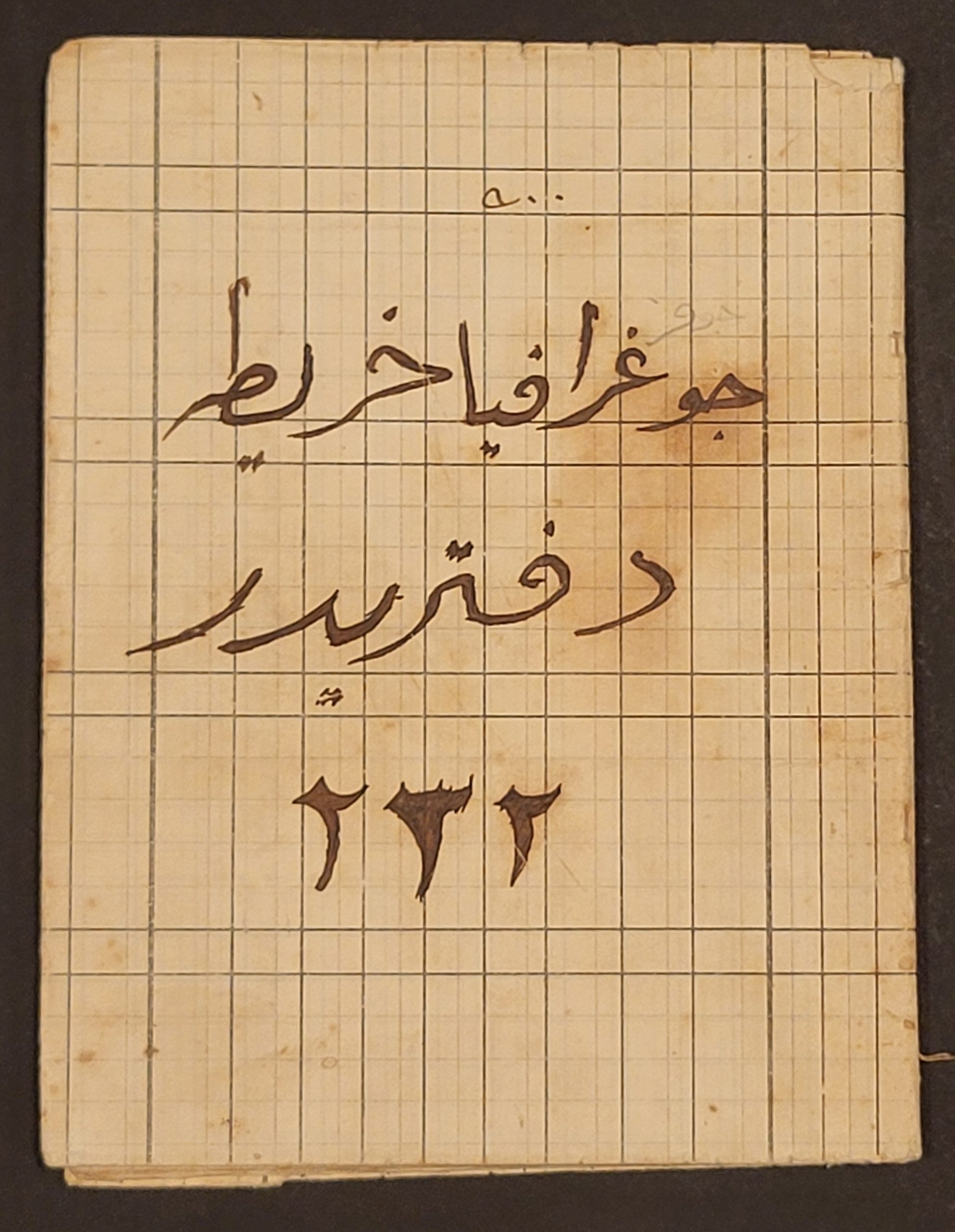


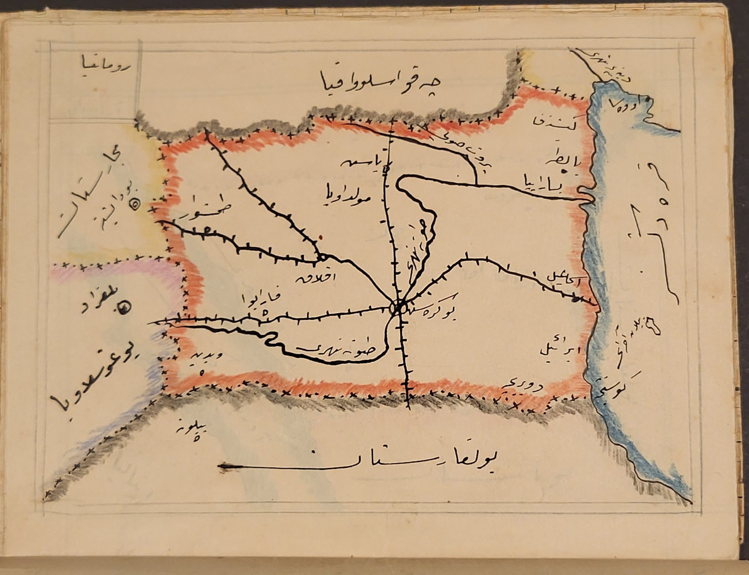
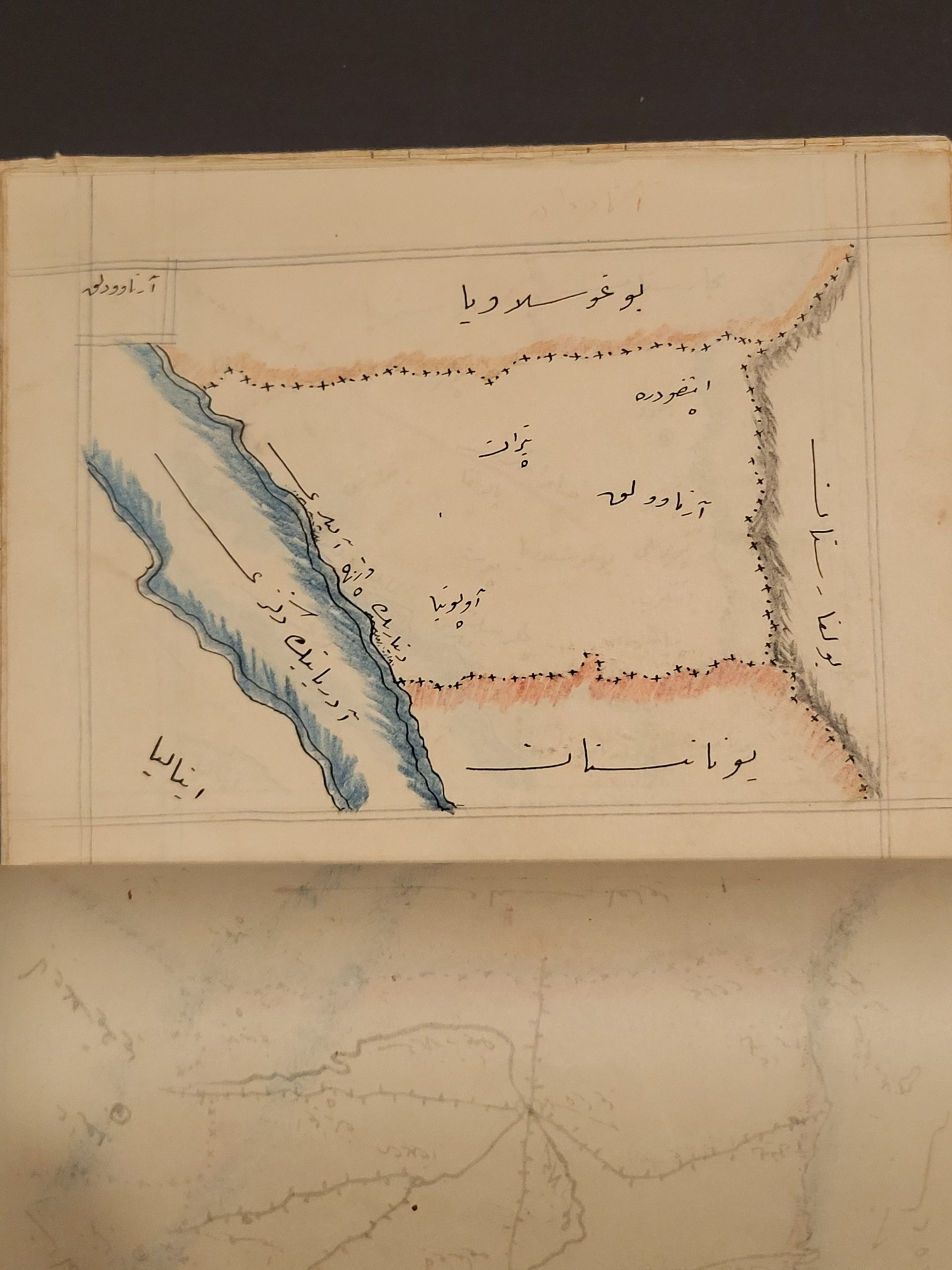
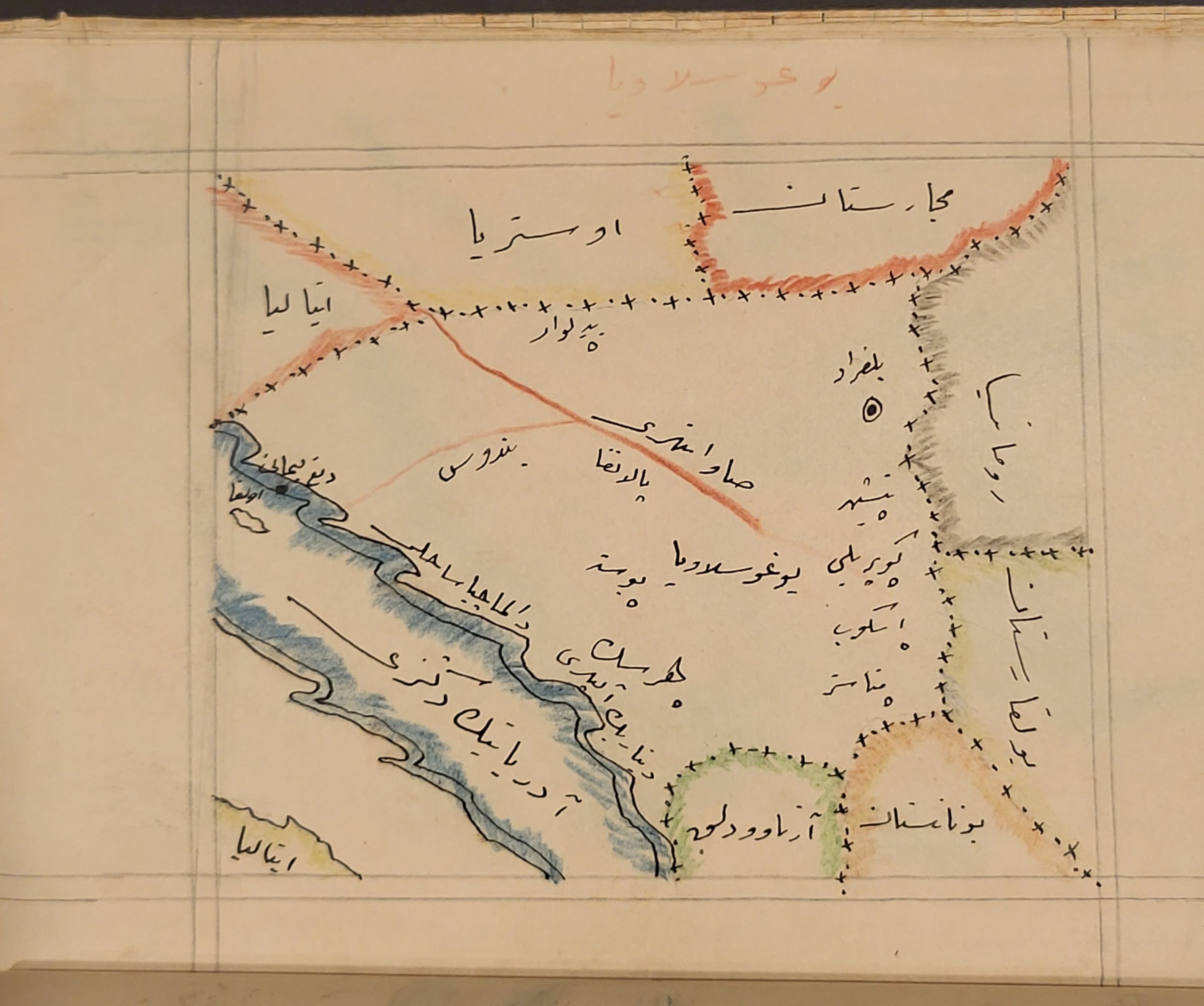

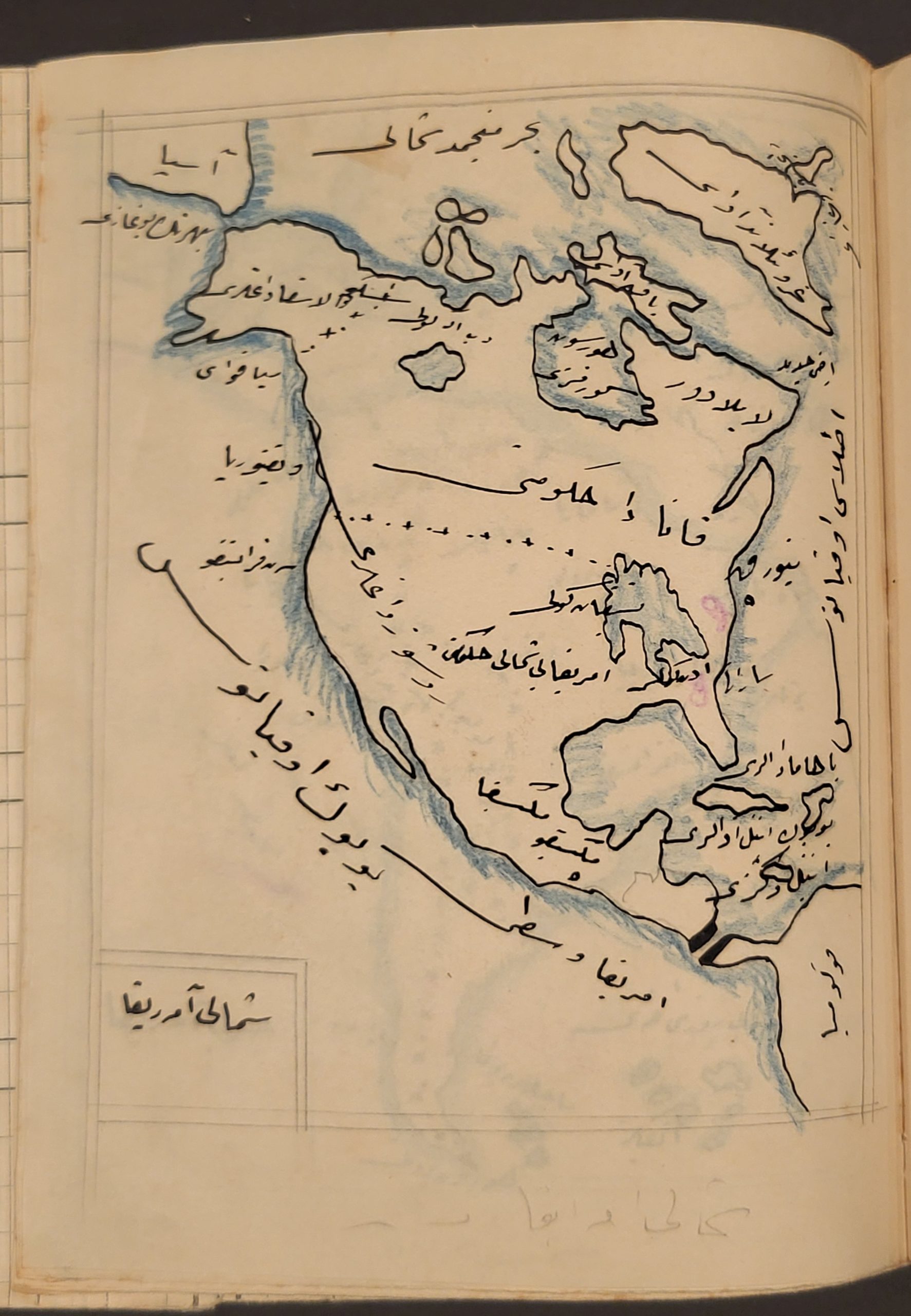


Description
This scarce handwritten atlas, containing over two dozen maps, appears to have been created by an anonymous student in Turkey during the 1920s. Based on the content (the Republic of Turkey is named), language (Büyük Okyanus [Great Ocean] is a strictly Turkish toponym), and script (certain non-Arabic letters), the piece was likely created as part of the curriculum from Ataturk’s secularizing educational reforms during the middle part of the decade.
Each thoroughly political map is outlined in black ink and uses a variety of colors (penciled?) to distinguish national or regional boundaries. Polities (local and international), prominent geographic features, and the name for each map are given in Perso-Arabic script (predating the modern Turkish alphabet). On smaller-scale maps, further details like railroads and cities are provided.
The composition of the atlas loosely reflects contemporary political priorities for the Ataturk regime. It begins with (pre-WWI) Europe, followed by Istanbul, former Ottoman lands along the Bosphorus, and the new Balkan states. Next come national overviews of Greece, Russia, and other European countries – generally from east to west and south to north. Maps of Asia include the continent, the Japanese Empire, India, the East Indies, China, and the Middle East. Africa, the Americas, and Oceania, far away from most domestic and foreign policy concerns for the new Turkish Republic, are the final maps in the atlas.
Many thanks to Sam at the University of Chicago for his help in deciphering this interesting piece!
Map Details
Publication Date: c. 1923
Author: Anonymous
Sheet Width (in): 6.25
Sheet Height (in): 8.25
Condition: A-
Condition Description: Manuscript and Hand Colored geography atlas, read from left-right and 'back to front', in folded paper covers and stapled binding. Twenty-six single-page maps in carefully penciled borders, plus about a dozen blank pages. Covers are moderately soiled and worn, but the maps are generally in very good condition. The occasional spot of foxing and spot of soiling, consistent with age and use.
Out of stock