
Geographie de Hebreux
$90.00
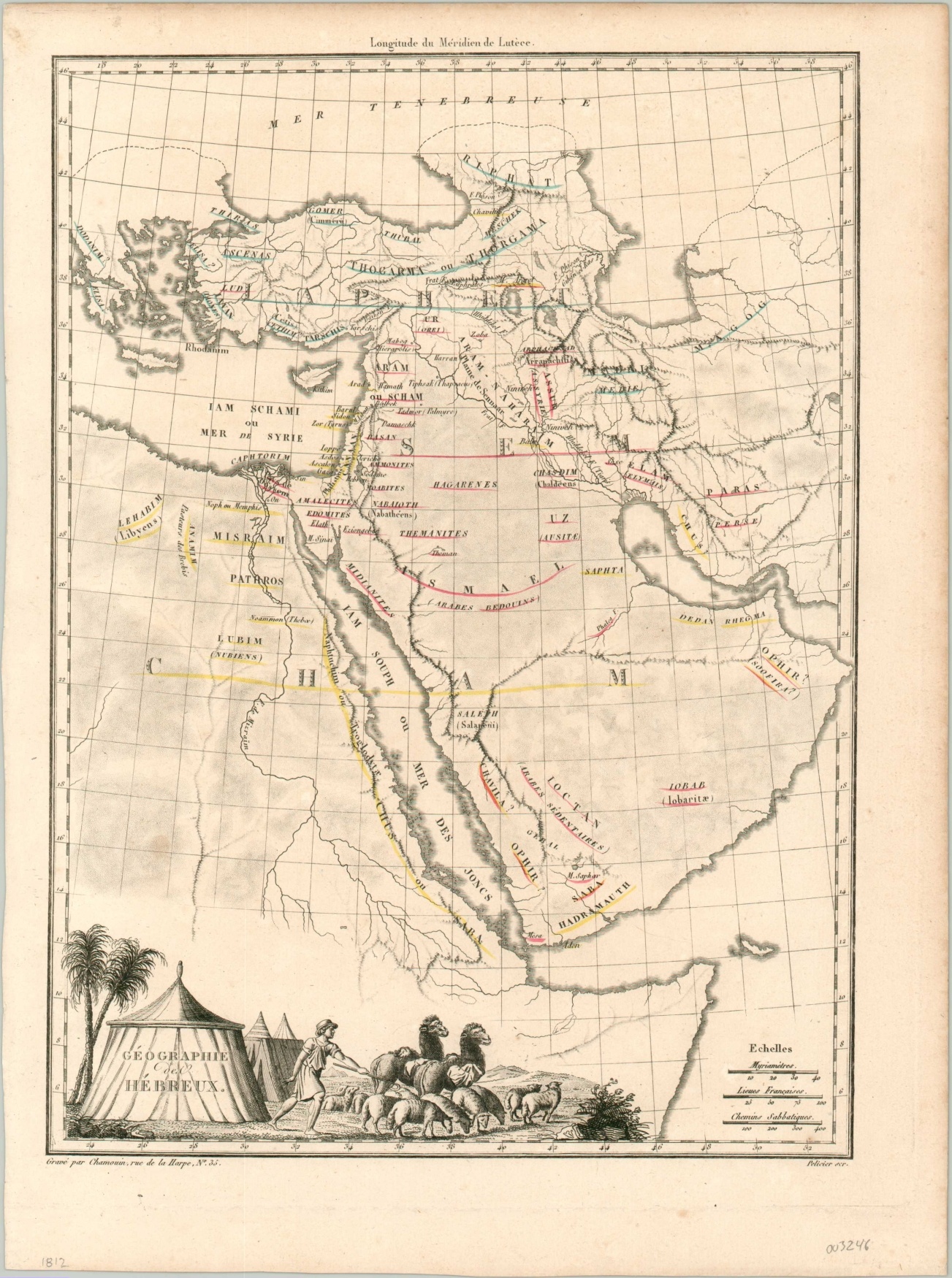
The geography of the ancient Hebrew world.
1 in stock
Description
This fascinating copperplate engraved map shows the area between modern-day Turkey to the Horn of Africa and from Egypt to the Persian Gulf. Geographic details are simply depicted and toponyms (in French) reflect the geography of the region according to the Mosaic account. Various areas are attributed to the three sons of Noah; Japheth, Ham, and Shem.
The appearance of Ophir on the east and west coasts of the Arabian peninsula, with question marks, indicates a lack of agreement among contemporary scholars about its location. A decorative cartouche in the lower left shows a shepherd among traditional tents of the nomadic tribes.
Published in Paris in 1812 by Conrad Malte-Brun.
Map Details
Publication Date: 1812
Author: Conrad Malte-Brun
Sheet Width (in): 10.00
Sheet Height (in): 13.4
Condition: A-
Condition Description: Light toning around the outer edges of the sheet, confined to the margins, along with uneven left edge and light spotting. Very good overall, with original outline color.
$90.00
1 in stock