
Geographical, Statistical, and Historical Map of Pennsylvania
$110.00
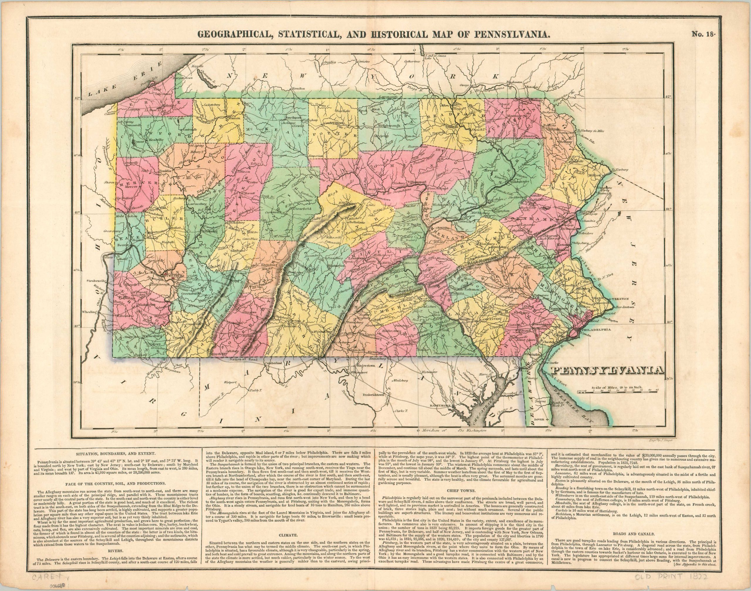
First edition of Carey & Lea’s detailed map of Pennsylvania.
1 in stock
Description
This attractive map of Pennsylvania presents The Keystone State near the end of the first quarter of the 19th century. A well-developed network of turnpike roads, detailed further in the accompanying text, can be seen stretching to nearly every corner – a necessity to facilitate the movement of the coal, timber, and oil that fueled much of America’s early Industrial Revolution.
Armies were also constantly on the move throughout the state and the locations of battle sites are noted with red flags. Several prominent ridges of the Appalachian Mountains are boldly shown in hachure, presenting a significant obstacle to the aforementioned transportation of goods and people. Canals were one alternative, and at least one is shown under construction within the image.
The map was engraved by J. Yeager and was issued as sheet number 18 in the 1822 (first) edition of Carey & Lea’s Complete Historical, Chronological, and Geographical American Atlas.
Map Details
Publication Date: 1822
Author: Carey & Lea
Sheet Width (in): 22.1
Sheet Height (in): 17.5
Condition: A-
Condition Description: Copperplate engraved map on a single-sided sheet with vertical centerfold, as issued. Faint discoloration along the vertical centerfold and a few small tears and small spots along the outer edges of the sheet. Good to very good condition overall. Original hand color.
$110.00
1 in stock