
Geographic Chart of The United States and Our Presidents
$50.00
Depression-era ‘game’ for learning American geography and history.
1 in stock
Description
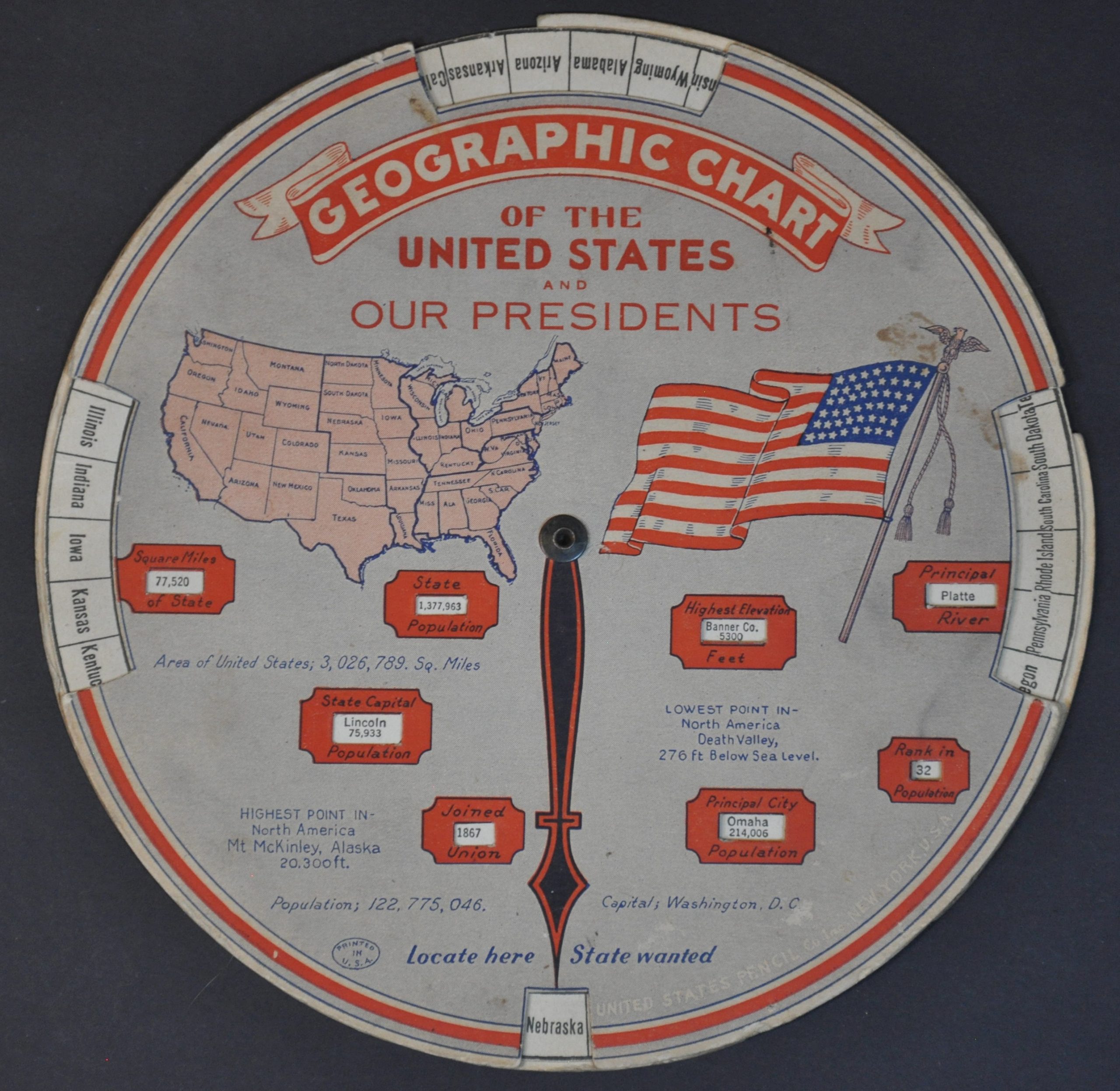
What’s one way to make geography and political history fun? Use a volvelle! This handy novelty, issued to a juvenile audience by the United States Pencil Company in 1931, presents factual data about each of the presidents from George Washington to Herbert Hoover. Important dates, events, political party, and state of residence are provided. The verso, using a separate outer wheel, spins to reveal information about each of the contiguous 48 states and the District of Columbia.
Map Details
Publication Date: 1931
Author: United States Pencil Company
Sheet Width (in): 8
Sheet Height (in): 8
Condition: B
Condition Description: Double-sided volvelle with a spinning center wheel. Heavy wear and soiling on both sides and along the outer edges and the center rivet is a bit loose, but the item functions well. About good condition overall.
$50.00
1 in stock