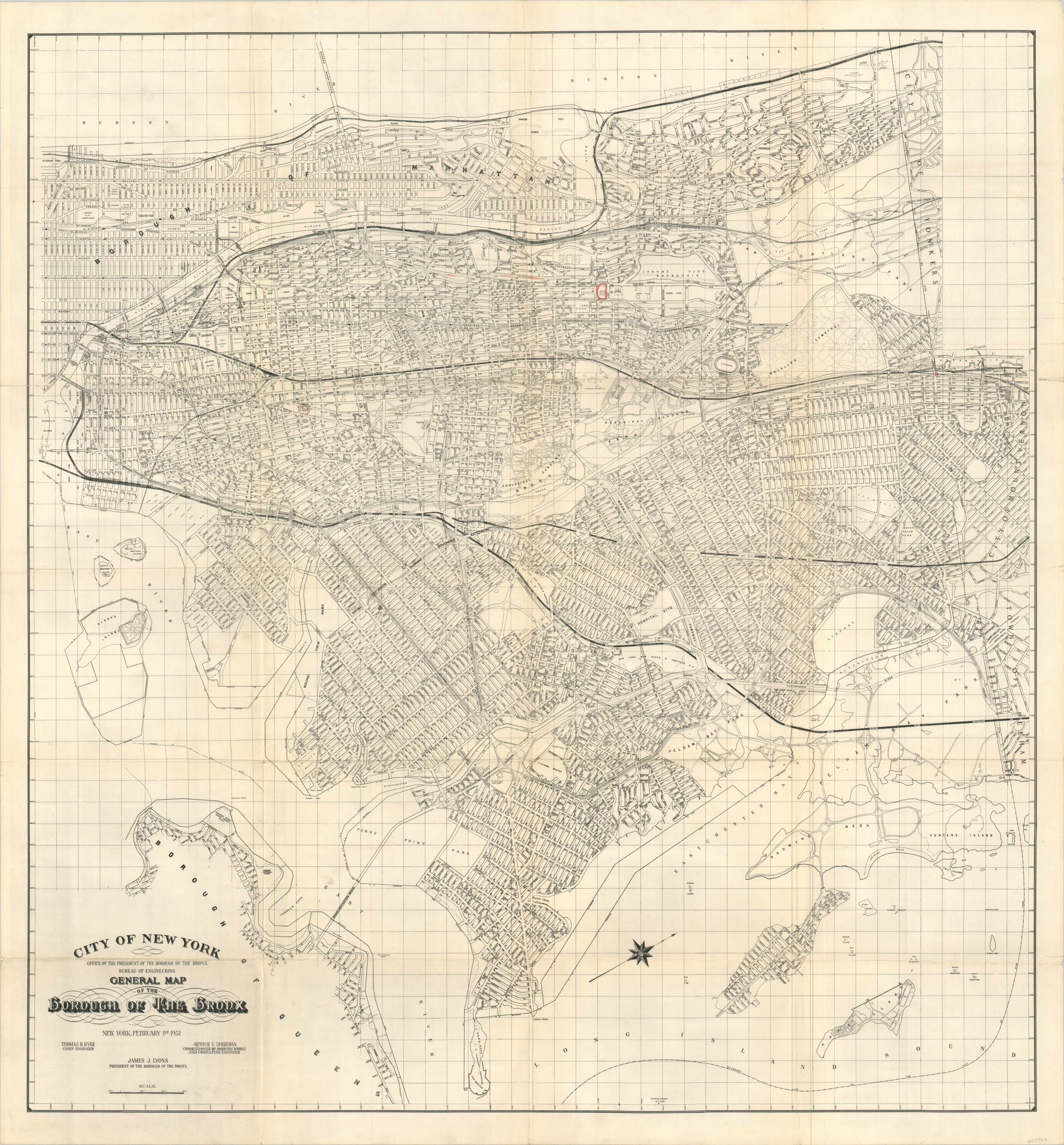
General Map of the Borough of The Bronx
$250.00
Huge mid-century plan of the Bronx.
1 in stock
Description
This massive street map of the New York borough of the Bronx was published in 1951 by the Bureau of Engineering. The image provides a detailed snapshot at mid-century, including transportation routes, the process of urban development, and individually labeled landmarks and public buildings. Of particular interest are the Bronx Zoo, the old Yankee Stadium, and Riker’s Island. Several public housing projects, both under construction and recently completed, are shown.
Within the map, two armories are circled in red pencil – possibly indicating a military affiliation of a previous owner? Just a few years after publication, construction on local expressways would forever change the landscape of the Bronx.
Map Details
Publication Date: 1951
Author: Bronx Bureau of Engineering
Sheet Width (in): 40.74
Sheet Height (in): 43.50
Condition: B-
Condition Description: Formerly folded into 24 panels, with moderate wear, creasing, and several areas of separation along fold lines that have been repaired on the verso with archival tape. Minor image loss at fold intersections. Faint discoloration along the vertical centerfolds, and two areas with old red pencil marks in the upper third of the sheet.
$250.00
1 in stock

