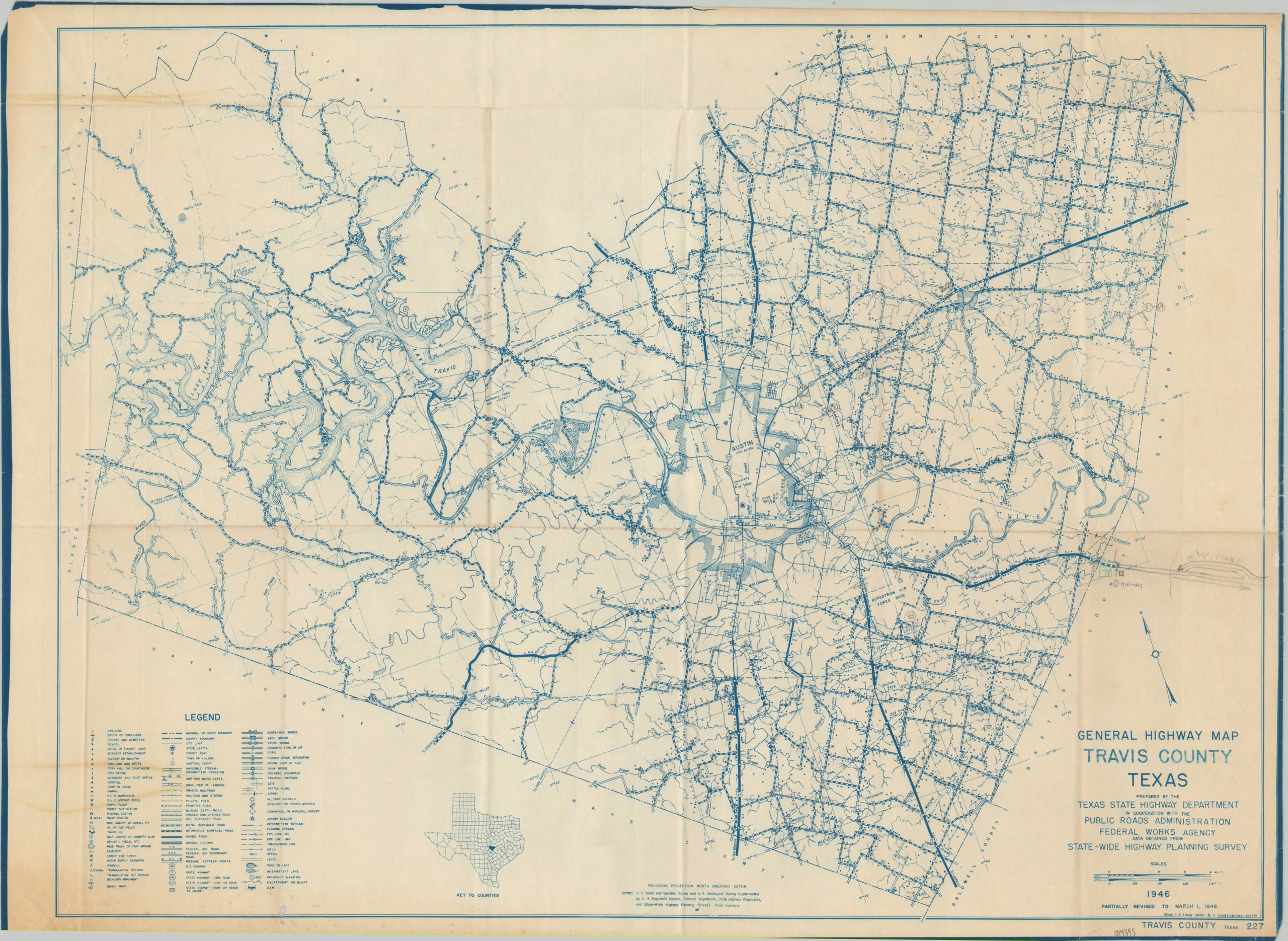
General Highway Map Travis County Texas
$175.00
Detailed postwar road map of Travis County, Texas.
1 in stock
Description
This wonderfully informative map of Travis County, Texas was prepared by the state’s Highway Department in March of 1948. Nearly 100 different components of the image are outlined according to the legend in the lower left. These include granular features like individual dwellings, windmills, and ditches, in addition to transportation routes (roads and railways), critical infrastructure (pipelines and bridges), geographic features (navigable streams and springs), local industries (mills and factories), and important facilities (airfields and radio stations).
Austin (population 87,930) city limits are punctuated by only by primary highways and the University of Texas. Several manuscript annotations can be seen on the center-right, including an extension of U.S. Route 290 to the east.
Map Details
Publication Date: 1948
Author: Texas State Highway Department
Sheet Width (in): 25
Sheet Height (in): 18
Condition: B+
Condition Description: Moderately creased and worn along old fold lines, including some discoloration visible in the upper half of the sheet. Scattered soiling around the edges and some offsetting visible in the lower left corner. Manuscript annotations in pencil on the far right. Good to very good overall.
$175.00
1 in stock

