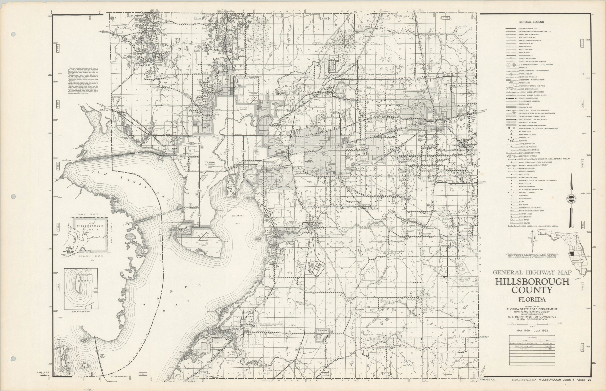
General Highway Map Hillsborough County Florida
$125.00
Detailed mid-century highway map of Hillsborough County, Florida.
1 in stock
Description
This intricate road map of Hillsborough County, Florida was originally published by the State Road Department in 1950, though the revision table in the lower right shows this example to be updated to January of 1955. The image presents a granular snapshot of the transportation options available throughout the county, but as noted by the legend on the right side, a variety of other interesting information is also presented.
The distribution of agriculture and local businesses, military and civic infrastructure, recreational opportunities, and other locations of interest are noted along with survey boundaries, geographic features, and estimated populations. An interesting map that embodies the significant growth enjoyed by much of the state of Florida in the years following World War II.
Map Details
Publication Date: 1955
Author: Florida State Road Department Traffic and Planning Division
Sheet Width (in): 27.75
Sheet Height (in): 17.75
Condition: A-
Condition Description: Very light discoloration along the outer edges of the sheet, which is three hole punched in the left margin. A few tiny scattered spots within the image (see right side). Very good overall.
$125.00
1 in stock

