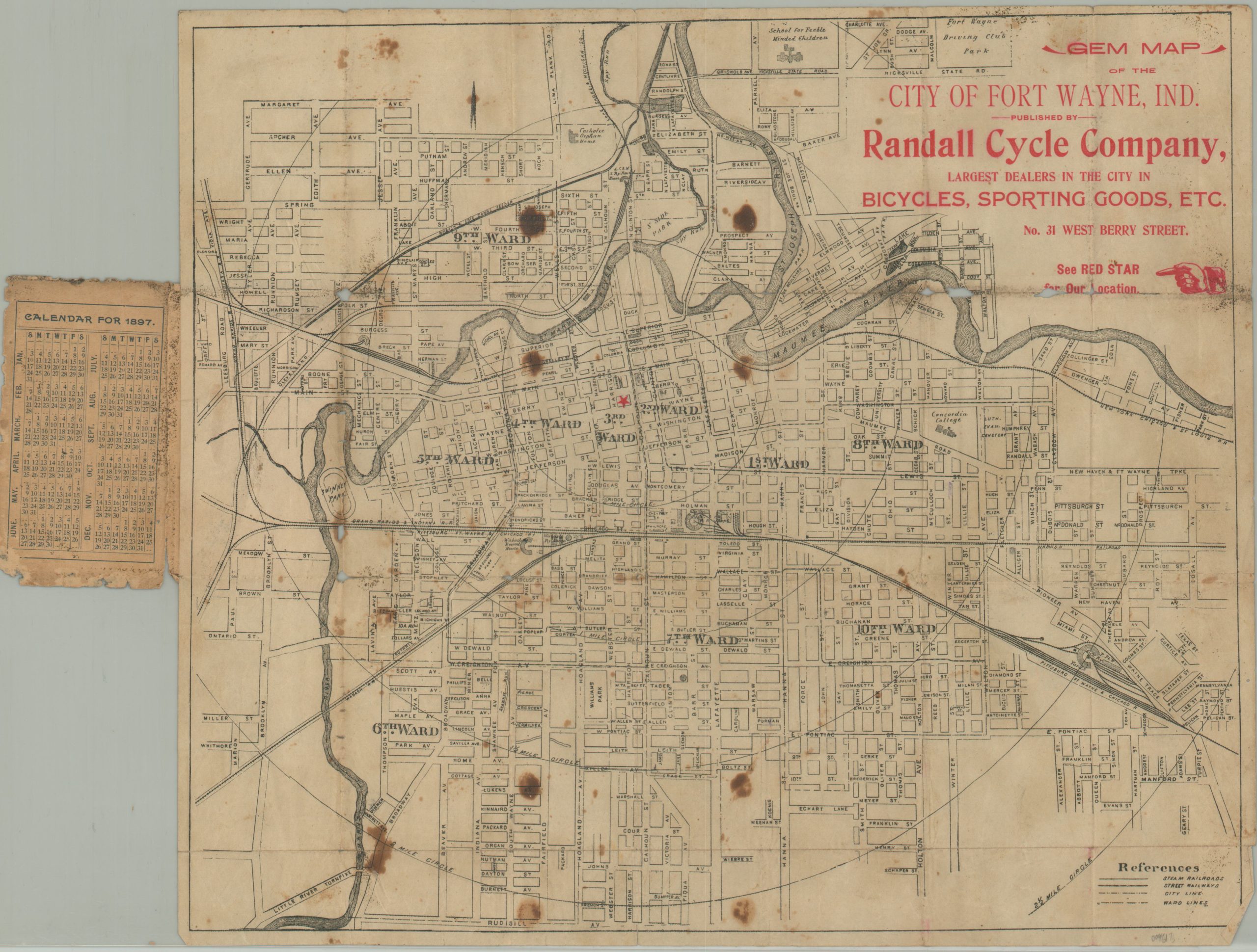
Gem Map of the City of Fort Wayne, Indiana
Scarce pocket map of Fort Wayne, Indiana published during the Gilded Age.
Out of stock
Description
This neat, but battered, little pocket map of Fort Wayne, Indiana was published locally by the Randall Cycle Company in 1897. Cyclists were some of the leading proponents of improved road surfaces in the late 19th and early 20th centuries, and manufacturers often issued maps for their customers.
The detailed image shows the northern Indiana city on a large scale, with 1/2 mile increments radiating from the center of town. A red star identifies the location of the Randall Cycle Company, while numerous other locations of interest are outlined and labeled. Examples include the School for Feeble Minded Children, the Catholic Orphan Home, Concordia College, and the Fort Wayne Driving Club Park.
Map Details
Publication Date: 1897
Author: Randall Cycle Company
Sheet Width (in): 14
Sheet Height (in): 12.5
Condition: B-
Condition Description: Pocket map folded into 21 segments and affixed to original black paper wraps. Heavy wear, separation along fold lines, and numerous spots of staining are visible throughout the image. Minor paper loss in the upper right corner and center left. About fair condition.
Out of stock

