
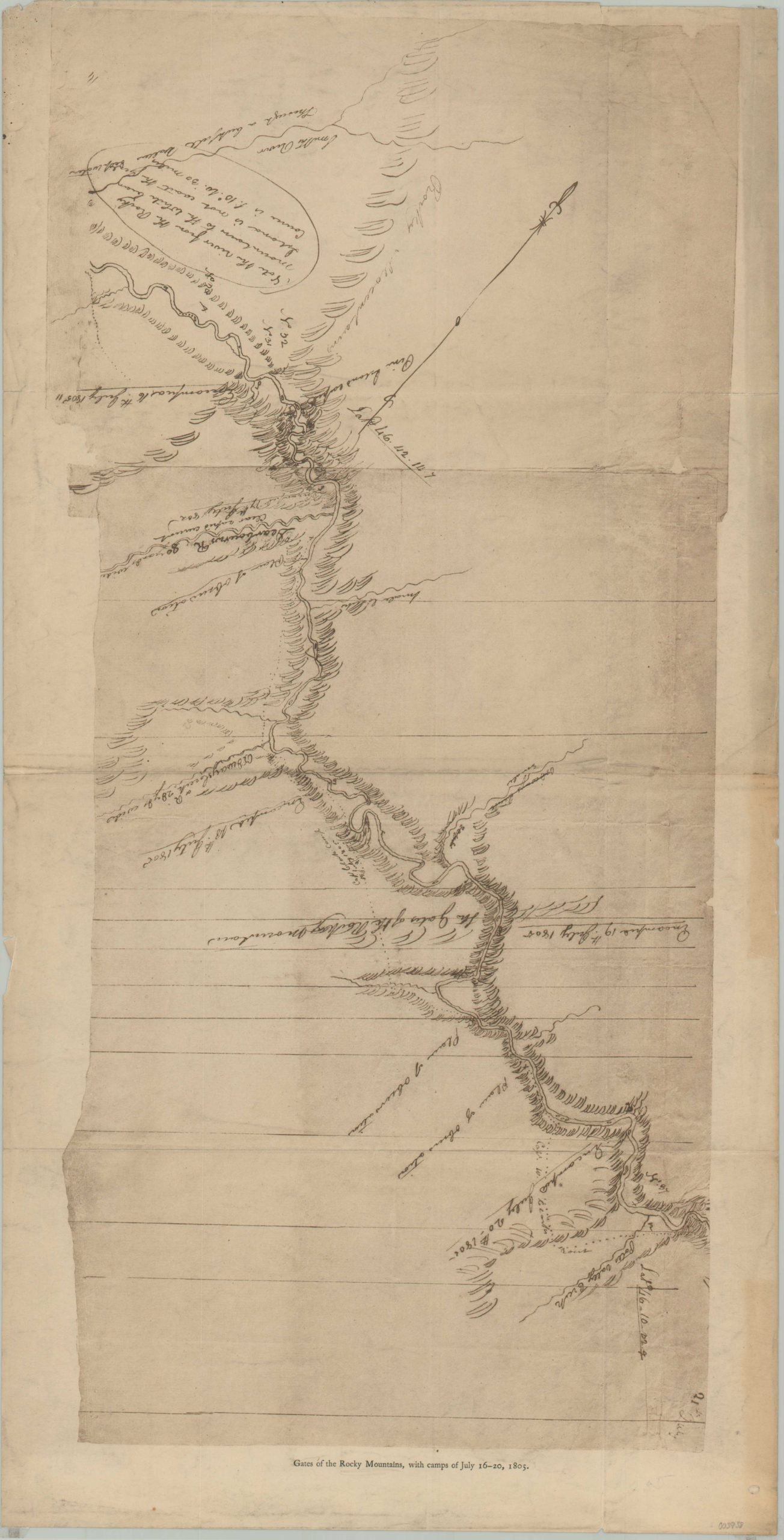
Gates of the Rocky Mountains, with camps of July 16-20, 1805.
$85.00
Later reprint of Clark’s important and exceedingly scarce map of the Gates of the Mountains.
1 in stock
Description
This hastily sketched map of a portion of the Missouri River, north of Helena, Montana, was first created by William Clark in 1805 during his epic voyage of exploration across the United States. It shows the route followed by the Corps of Discovery as they passed through the impressive geologic formation Clark named ‘The Gates of the Rocky Mountains.’ They are described as such in his journal, edited by Gary Moulton;
“These clifts rise from the waters edge on either side perpendicularly to the height of 1200 feet. every object here wears a dark and gloomy aspect. the tow(er)ing and projecting rocks in many places seem ready to tumble on us. the river appears to have forced it’s way through this immense body of solid rock for the distance of 5 ¾ miles and where it makes it’s exit below has thrown on either side vast collumns of rocks mountains high.”
This early 20th-century reproduction was likely issued in the 1905 edition of the Atlas Accompanying the Original Journals of the Lewis and Clark Expedition by Reuben Goldthwaites.
Map Details
Publication Date: c. 1900
Author: William Clark
Sheet Width (in): 11.4
Sheet Height (in): 22.25
Condition: B+
Condition Description: Printed on thin paper that has separated along fold lines at the edges in several places. Creasing and moderate wear also present along old folds. Toning along the outer edges of the sheet and archival tape in the corners where previously matted. About good condition overall. Blank on verso
$85.00
1 in stock