
Galveston Island Area Map
$110.00
Welcome to Galveston Island!
1 in stock
Description
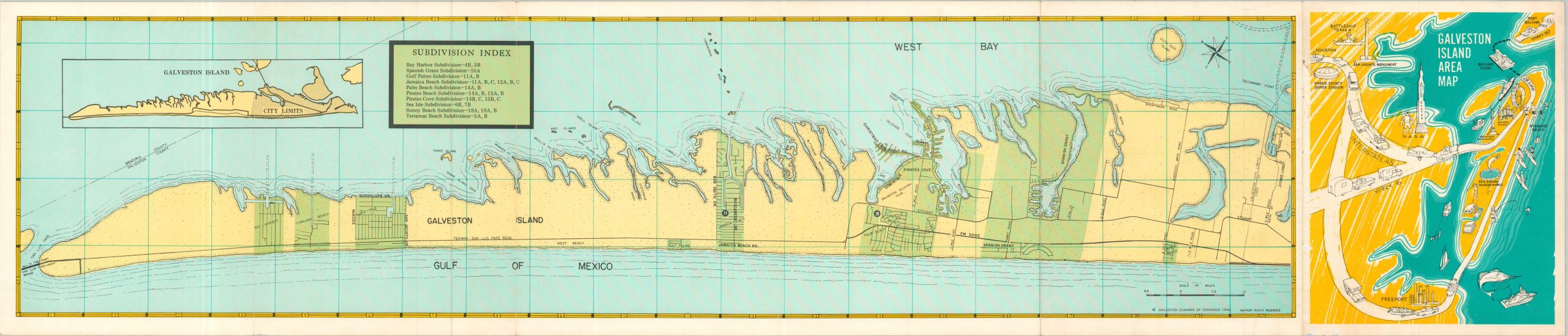
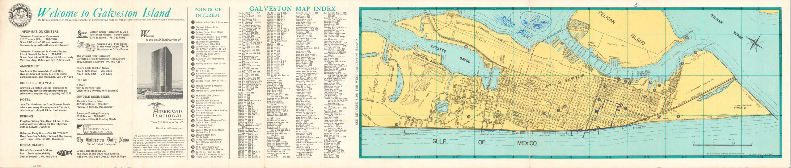
This inviting map of Galveston Island, Texas was published by the Galveston Chamber of Commerce in 1966. It presents a detailed street plan of the city, then in a transitional period from a lawless resort town to a more family-friendly, diversified economy.
Over two dozen points of interest are noted, along with several advertisements and a street index. Other features labeled within the city limits include the Municipal Airport (Scholes Field), a nuclear ship berth on Pelican Island, and a large U.S. Government Reservation on the east end of the island (part of Ft San Jacinto). The verso of the sheet offers a more rudimentary overview of the rest of the island, highlighting ten separate developing subdivisions in bright green.
Map Details
Publication Date: 1966
Author: Galveston Chamber of Commerce
Sheet Width (in): 37.50
Sheet Height (in): 8.00
Condition: A-
Condition Description: Six panel folding brochure (maps on both sides) with moderate wear along folds and the outer edges of the sheet, printed on stiff paper. Cartoonish drawings in blue ink. Good to very good condition overall.
$110.00
1 in stock