
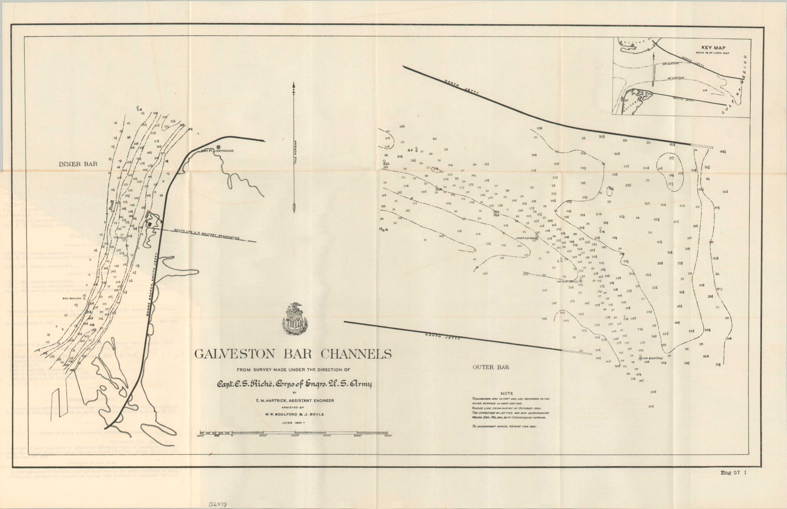
Galveston Bar Channels
Original price was: $350.00.$250.00Current price is: $250.00.
Recovering from the Galveston Hurricane of 1900.
1 in stock
Description
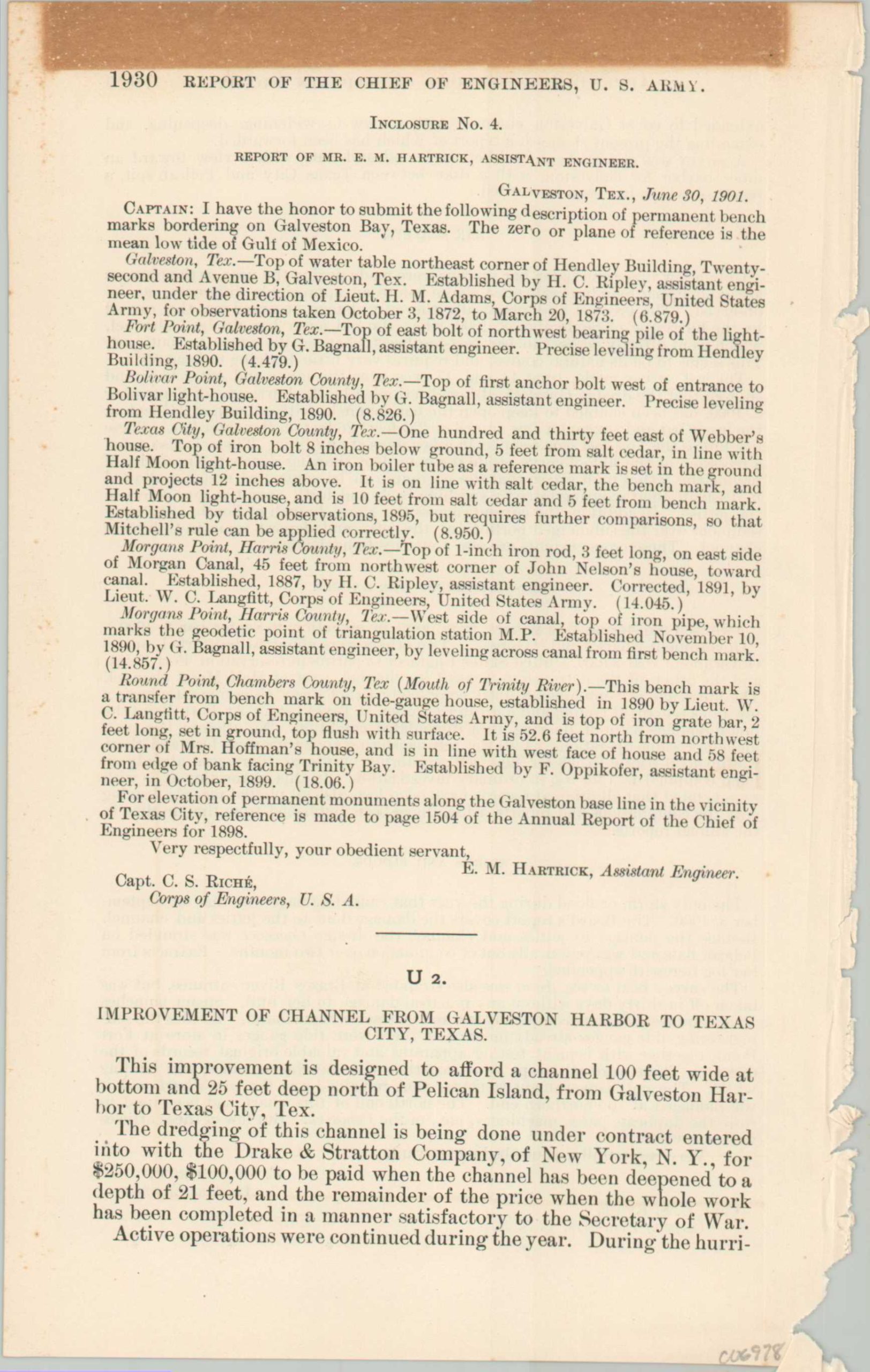
“This improvement is designed to afford a channel 100 feet wide at bottom and 25 feet deep north of Pelican Island, from Galveston Harbor to Texas City, Tex.” – Text.
This interesting map and accompanying correspondence were drafted by E.M. Hartrick and Capt C.S. Riche of the Army Corps of Engineers. It was published in 1901 by the Government Printing Office as part of a Congressional volume about internal improvements overseen by the War Department. The image shows the entrance to Galveston Bay between Bolivar Point and Galveston Island, protected by two jetties. Depth soundings are noted throughout, in addition to the location of the Fort Point Light Station.
Just a few months before publication, the area was devastated by a hurricane – the deadliest natural disaster in United States history. It is referenced in the accompanying text as “the only storm or flood during the year that caused damage.”
Map Details
Publication Date: 1901
Author: E.M. Hartrick
Sheet Width (in): 20
Sheet Height (in): 12.6
Condition: A-
Condition Description: Folding map and single page of text extracted from a broken Congressional volume. Ragged left binding edge and faint toning, consistent with age. Text has a heavy strip of toning along the upper edge. Very good overall.
Original price was: $350.00.$250.00Current price is: $250.00.
1 in stock