
French Line Tourist Map of France
$85.00
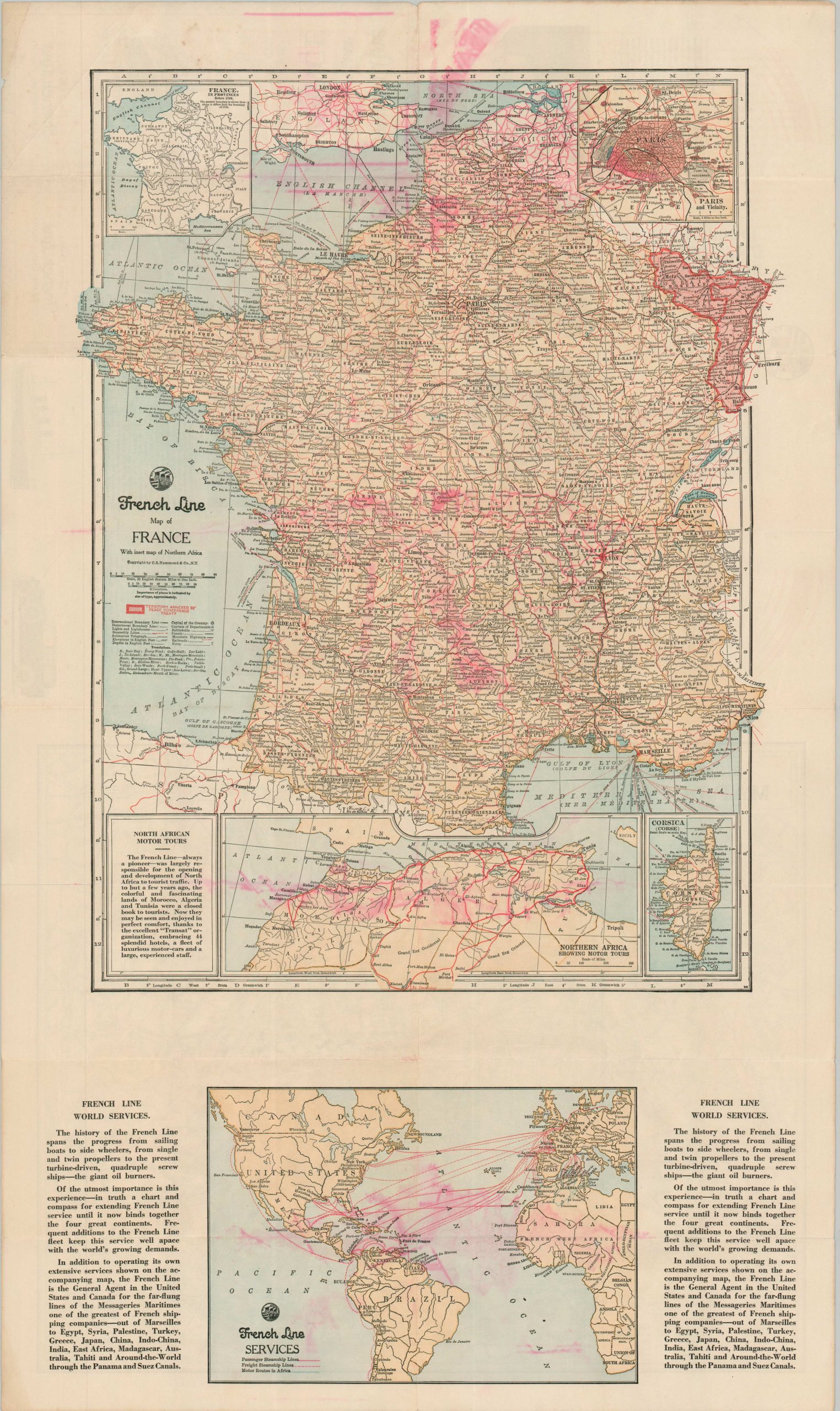
“The French Line – always a pioneer – was largely responsible for the opening of North Africa to tourist traffic.”
1 in stock
Description
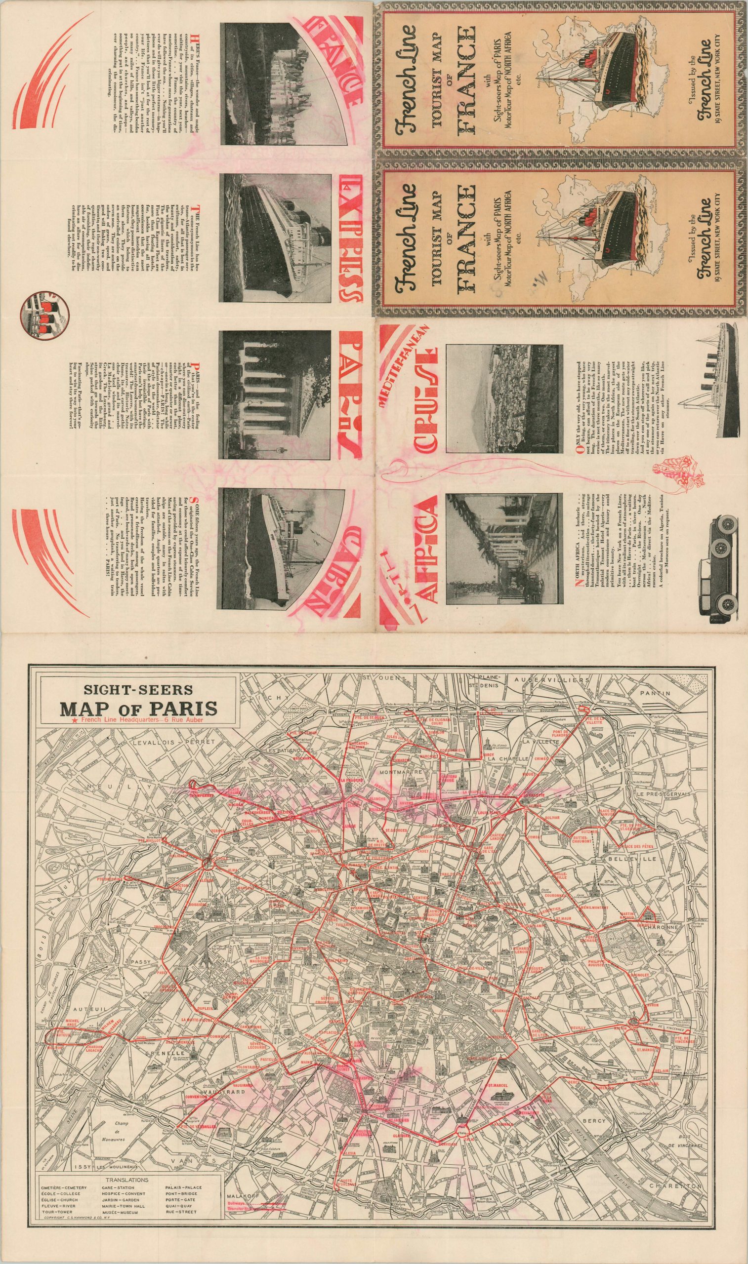
This detailed map of France was issued during the Interwar Period by the French Line (Compagnie Générale Transatlantique) to encourage Transatlantic tourism from an American audience. The primary image highlights the extensive railroad network accessible via ports like Le Havre, Brest, and Bordeaux, with the recently regained Alsace-Lorraine Territory brightly shaded in red. Insets show the island of Corsica, North Africa (showcasing local motor tours), and French Line World Services. The verso presents a pictorial city plan of Paris.
The map was created by C.S. Hammond & Co. Published around 1926 in New York, based on the text on the verso, which indicates the French Line has offered One-Class Cabin Service for about 15 years (introduced in 1911).
Map Details
Publication Date: c. 1926
Author: C.S. Hammond & Co.
Sheet Width (in): 18.75
Sheet Height (in): 31.75
Condition: B
Condition Description: Folded map printed on both sides. Old damp staining has resulted in the red ink to run and turn pink, affecting the map and image (see scan). A 2" irregular tear along the edge, repaired. Between fair and good condition overall.
$85.00
1 in stock