
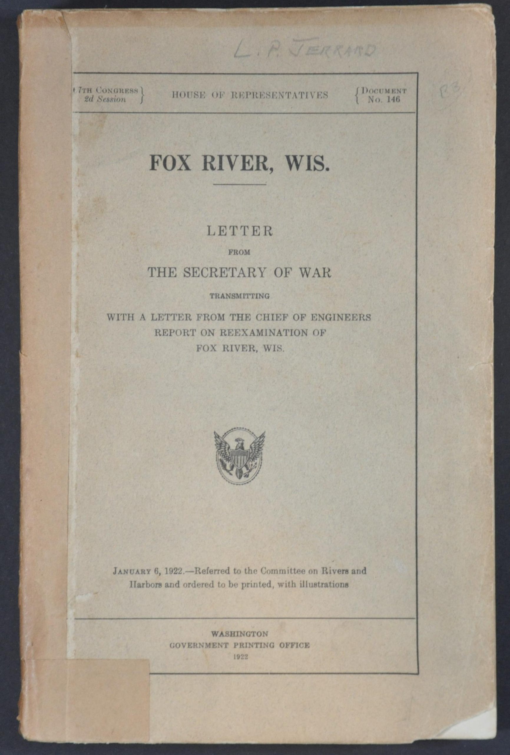
Fox River, Wis.
$95.00
Improving the water connections between the Wisconsin River and Green Bay.
1 in stock

Description
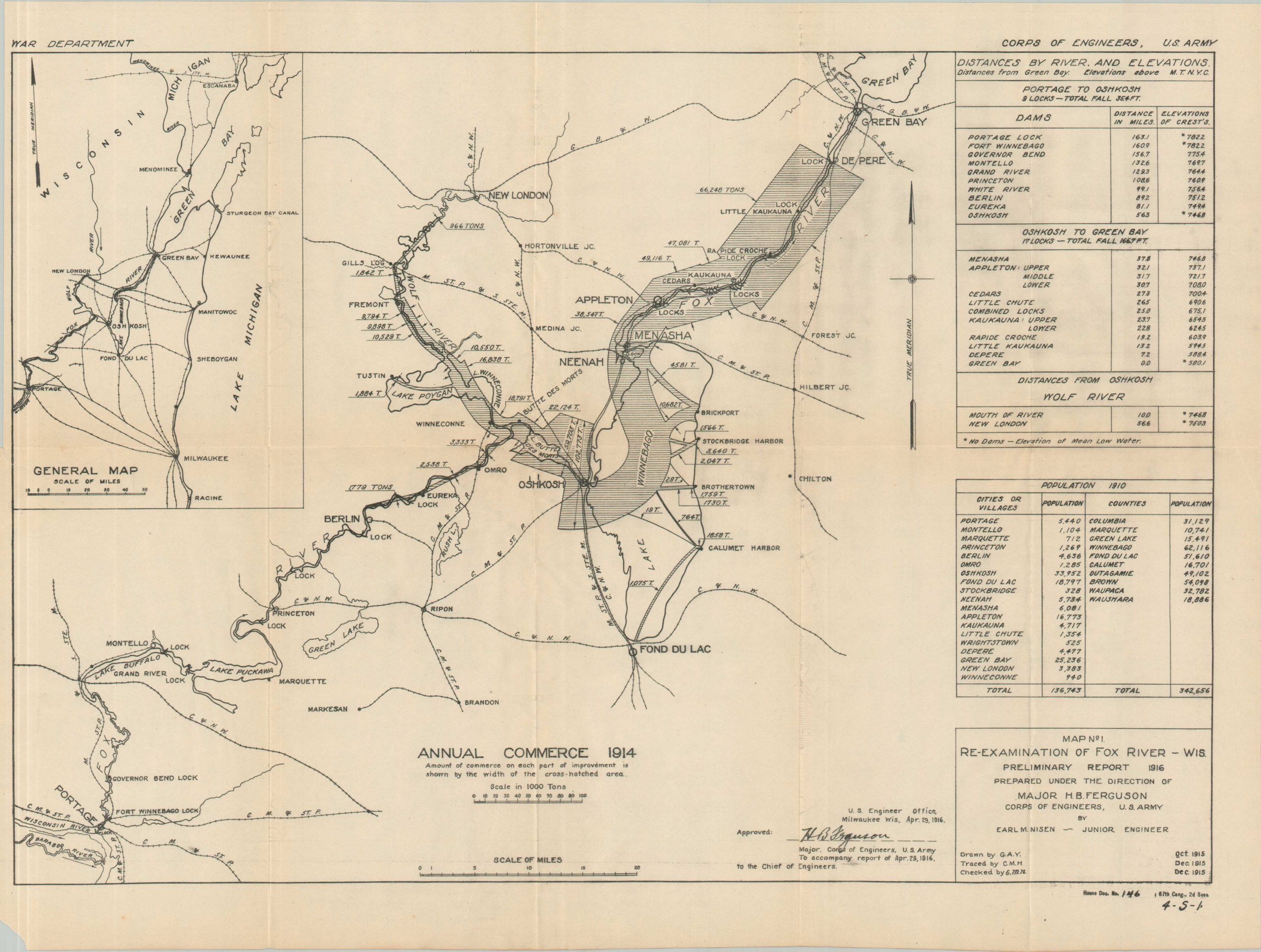
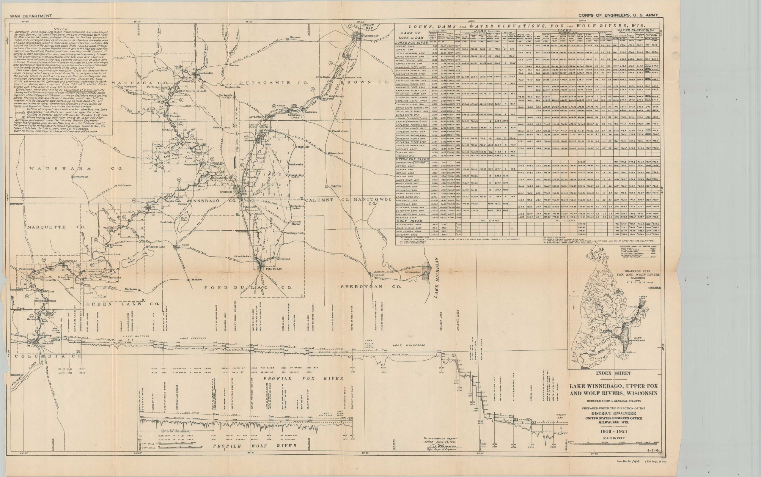
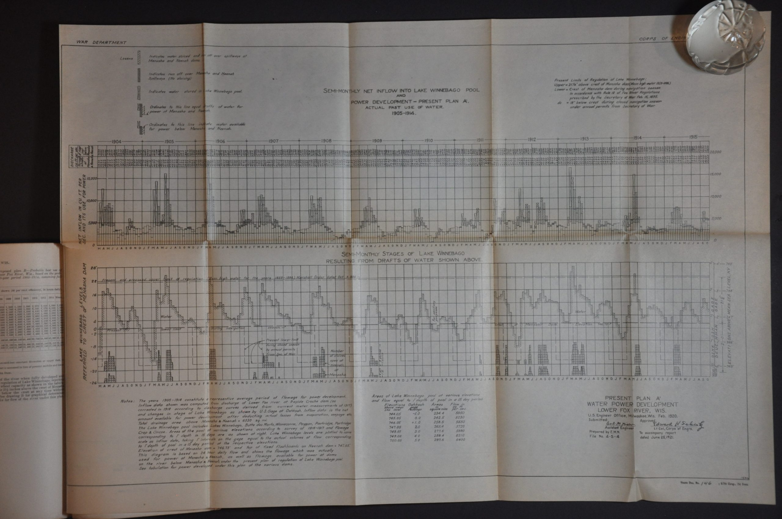
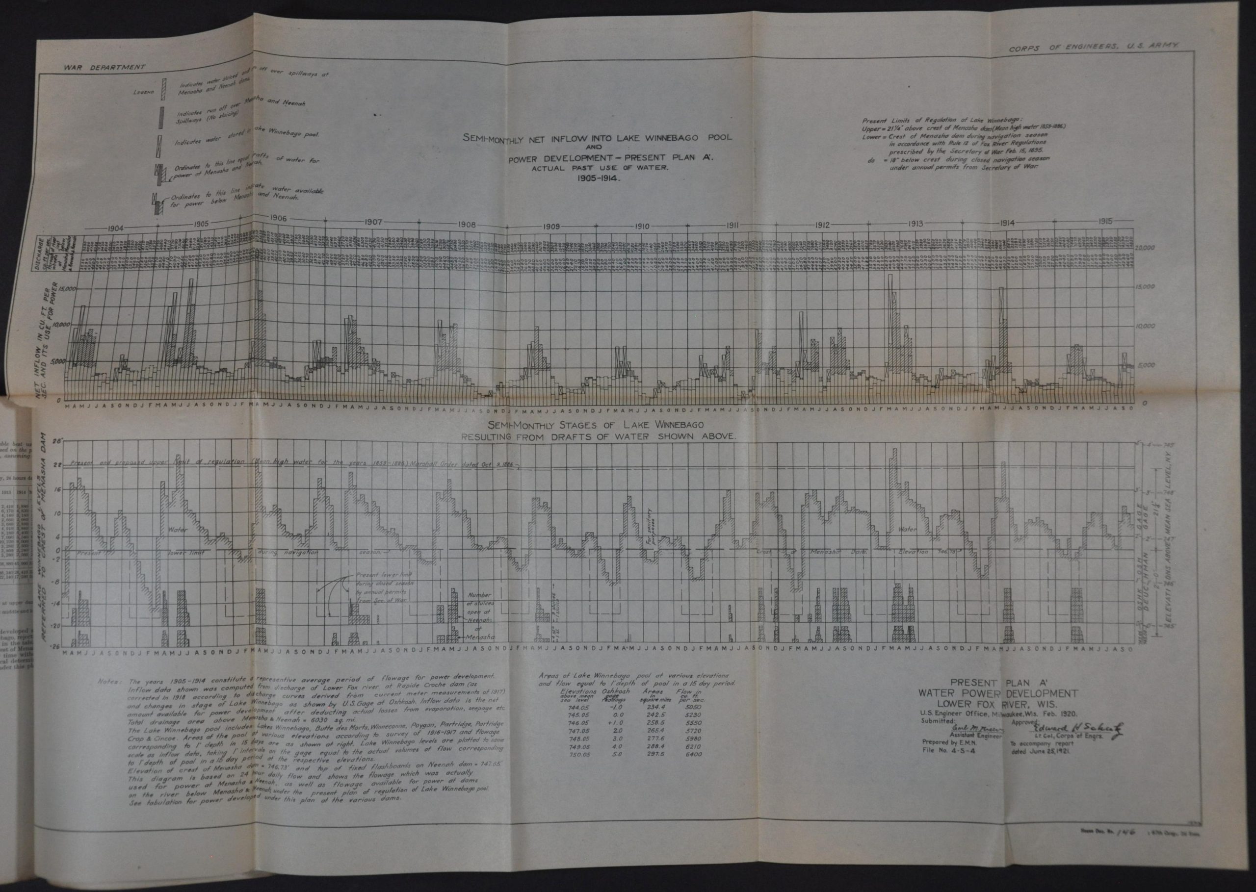
This collection of reports, maps, diagrams, and tables of data was compiled by members of the Army Corps of Engineers and published for the House of Representatives by the Government Printing Office in 1922. The contents focus on the ongoing surveys and improvements of Wisconsin’s Fox River, an approximately 200-mile waterway that travels through Lake Winnebago to form the primary tributary of Green Bay (and Lake Michigan).
The area was home to a high concentration of paper mills and had numerous locks and dams in operation for water level control, land reclamation, navigation, and hydroelectric power generation. There are several recommendations for further development, contrasting with suggestions for the abandonment of existing projects.
Map Details
Publication Date: 1922
Author: United States War Department
Sheet Width (in): 6
Sheet Height (in): 9.25
Condition: B+
Condition Description: 170 pp. of text and over a dozen folding maps and diagrams, bound in original paper wraps with a repaired spine. Moderate toning and wear visible throughout, with several clean splits along the seams of the fold-outs. Chipped corners, a few small edge tears, and other signs of age and use. Two maps disbound. About good condition overall.
$95.00
1 in stock