Foster’s Historical Outline Maps for Students of United States History
$75.00
Part two of an early 20th century educational atlas on U.S. History.
1 in stock
Description
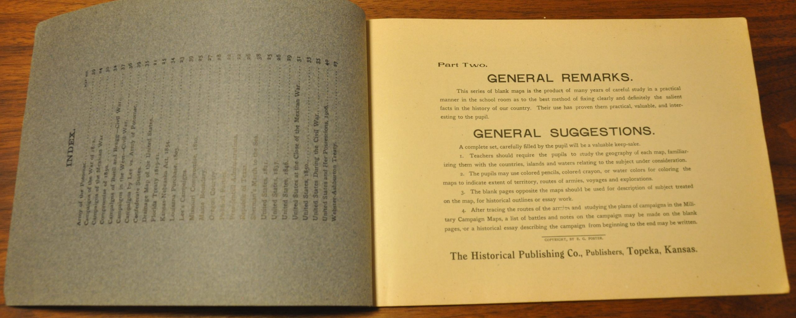
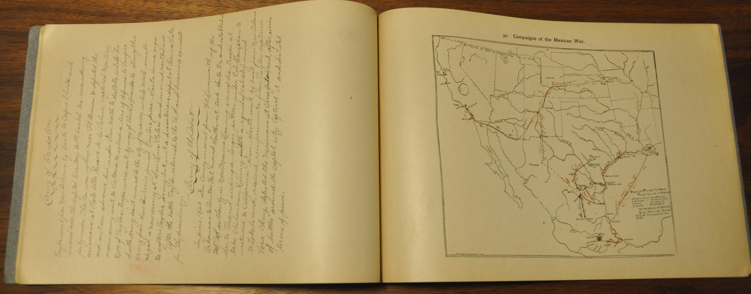
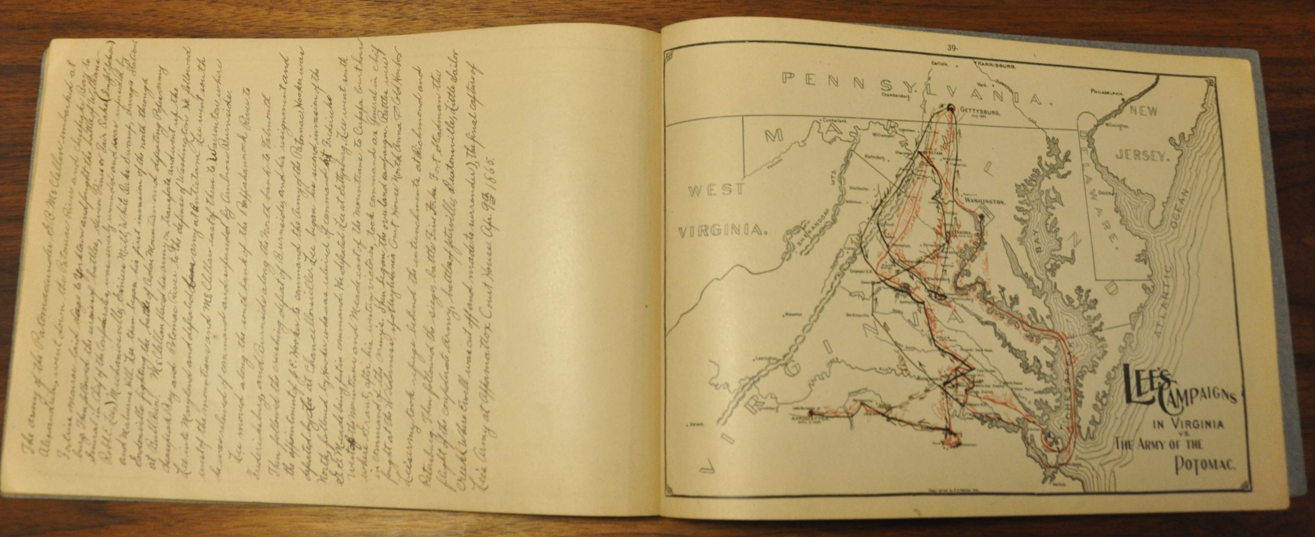
This 20 page geography textbook/atlas contains numerous maps of the United States covering important events between the War of 1812 and overseas possessions of the early 20th century. Basic outlines and geographic features are printed on each map, but the student would be required to manually fill in other details of interest.
Immediately opposite each map is a large blank space for note-taking. This particular example features several high quality maps of prominent Civil War campaigns accompanied by carefully written notes.
One of several editions issued as part of Foster’s Historical Outline Map Series – this is Part Two of the United States History Series – detailed in further on the inside of the cover. Copyright by E.G. Foster and published by the Historical Publishing Company in Topeka, Kansas in 1904.
Map Details
Publication Date: 1904
Author: Historical Publishing Company
Sheet Width (in): 11.1
Sheet Height (in): 7.6
Condition: A-
Condition Description: 20 pp. with stapled binding. Wear along the spine and the maps are slightly toned, consistent with age.
$75.00
1 in stock


