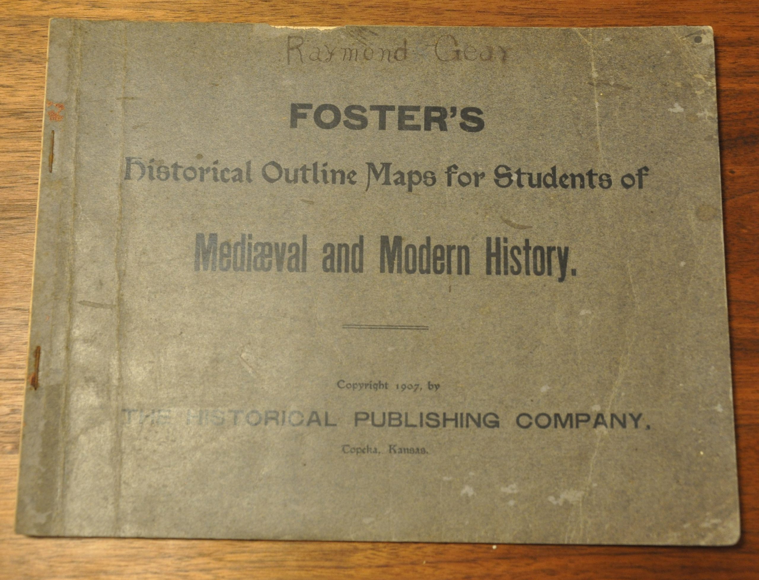
Foster’s Historical Outline Maps for Students of Mediaeval and Modern History
$75.00
Heavily annotated atlas covering a long period of European history.
1 in stock
Description
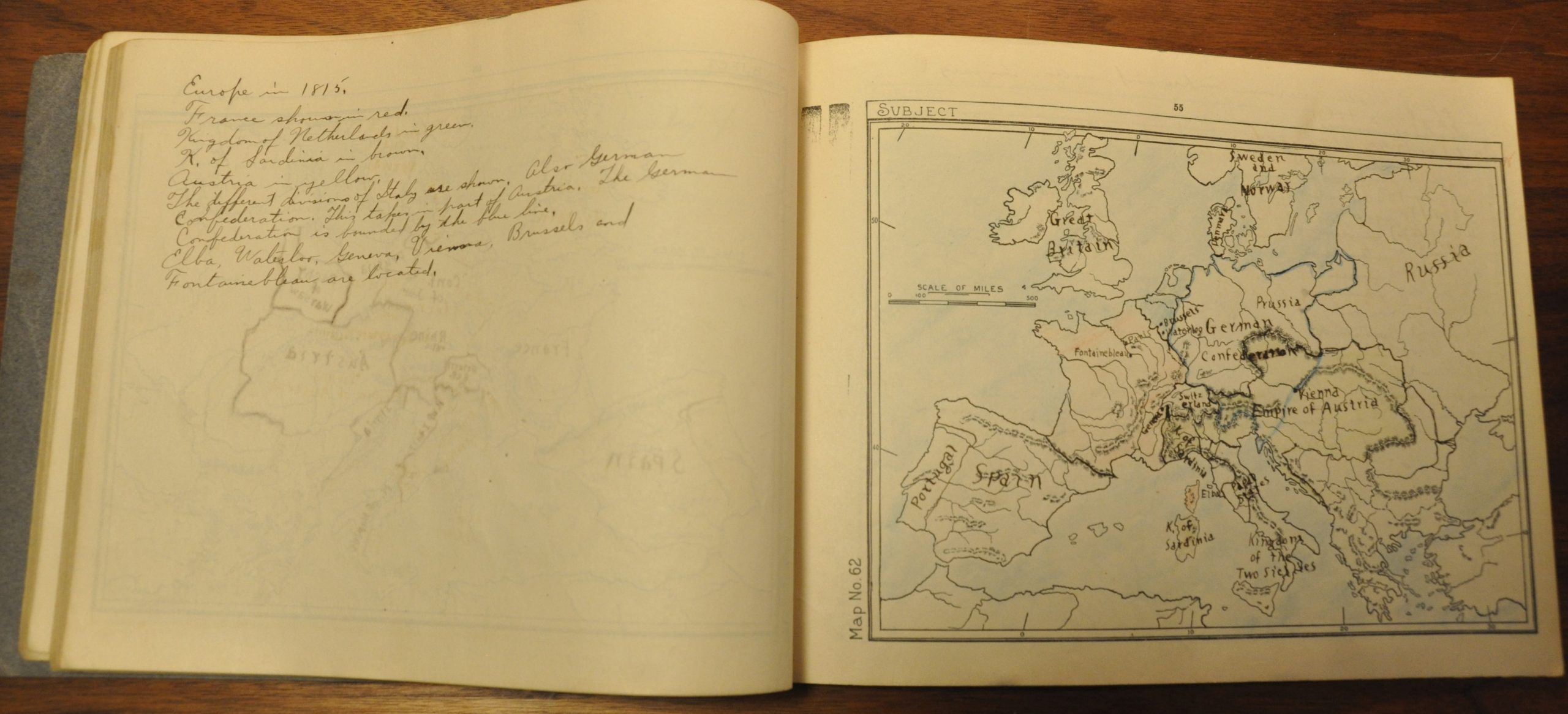
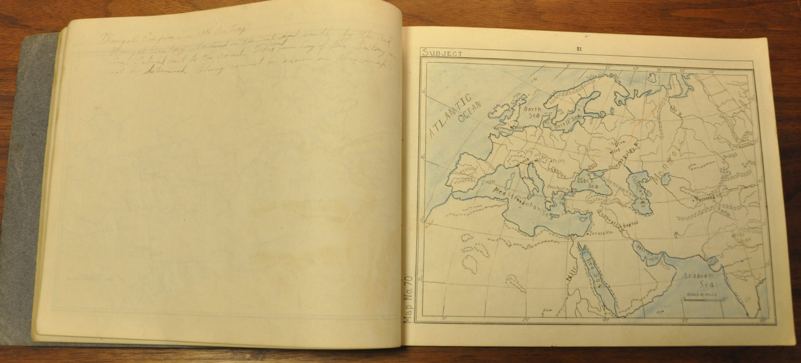
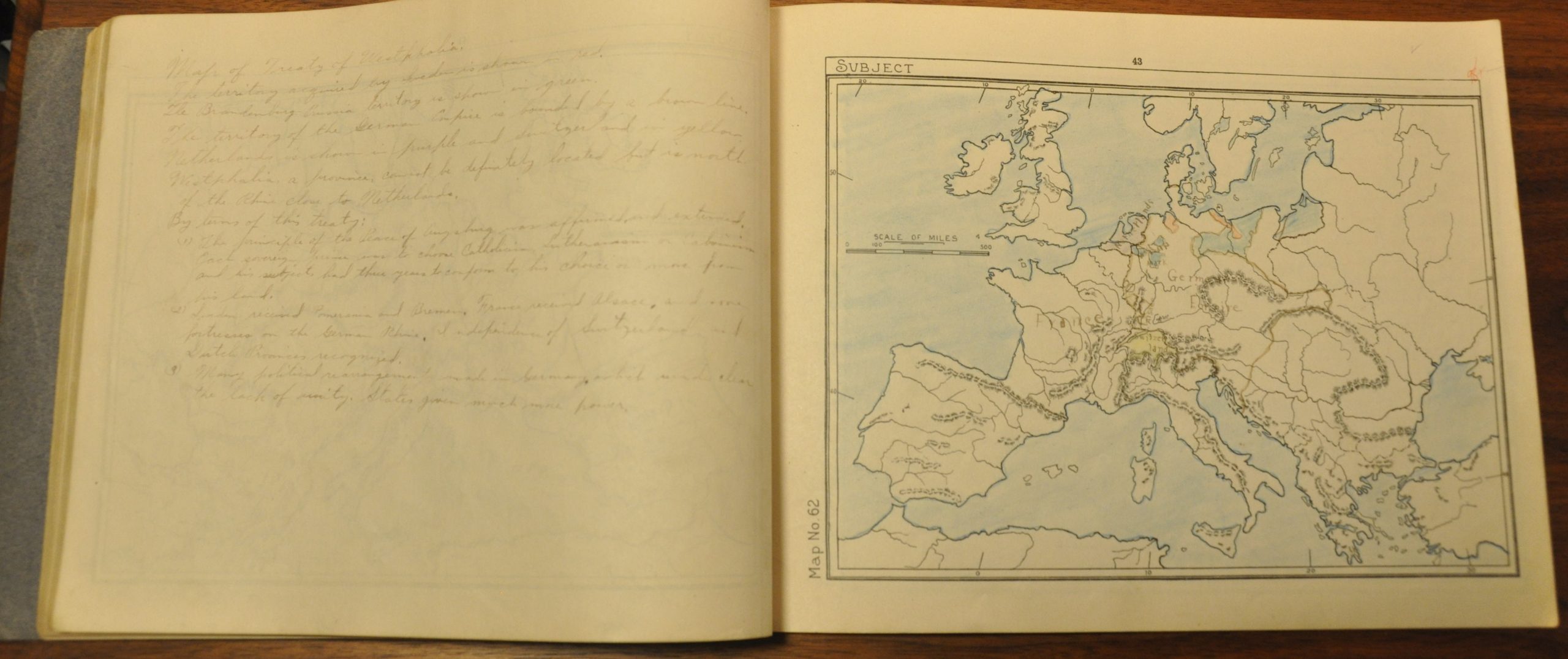
This 61 page geography textbook/atlas contains numerous maps of various areas across Europe and the Mediterranean between the Medieval Era and the modern world. Basic outlines and geographic features are printed on each map, but the student would be required to manually fill in other details of interest. Adjacent to each map is a blank page, used for note taking.
This particular example has the majority of the maps completed with attractive handwriting and soft color. Several pages are almost entirely covered by manuscript notes, also. Topics include the Hanseatic League, The Thirty Year’s War, and Italian Unification.
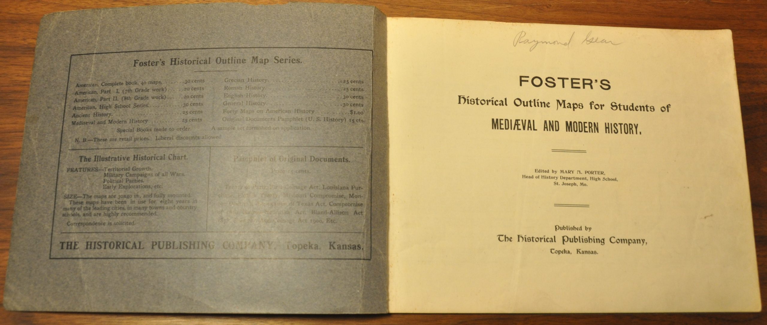
One of several editions issued as part of Foster’s Historical Outline Map Series, detailed in further on the inside of the cover. Edited by Mary M. Porter and published by the Historical Publishing Company in Topeka, Kansas in 1907.
Map Details
Publication Date: 1907
Author: Historical Publishing Company
Sheet Width (in): 10.75
Sheet Height (in): 8.1
Condition: A-
Condition Description: 61 pp. atlas with slightly rusted stapled bindings. Moderate wear along the spine, including a small tear, and some soiling on the original paper covers. The maps are slightly toned from age, but otherwise in good shape.
$75.00
1 in stock

