
Fort Heiden, Alaska to Adak Island, Aleutian Islands No. 2
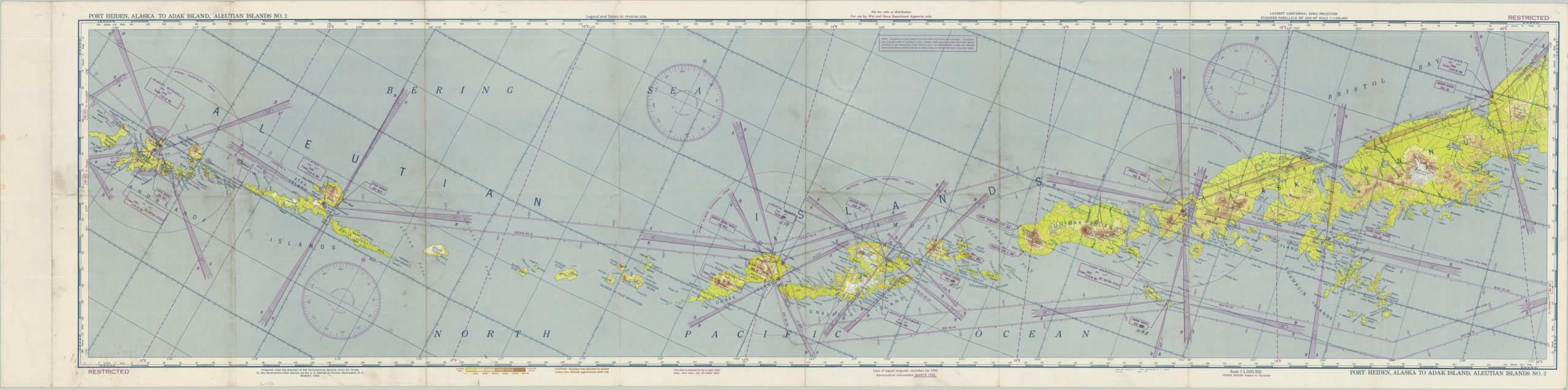
Large WWII-era aviation chart of the Aleutian Islands, issued at a scale of 1:1,000,000.
Out of stock
Description
This detailed aviation chart, the 4th edition, was first published by the Army Map Service for use by Army Air Forces in 1944. This example had been updated to show aeronautical information through March 1945, according to text in the lower margin.
The image, marked RESTRICTED and ‘Not for sale or distribution’, presents most of the Aleutian Islands near the end of World War II. Elevation data, major landmarks, airspace control areas, radio frequencies, and other relevant information are presented for use by pilots operating in the region. Special ink was used to allow for viewing in low-light situations.
Map Details
Publication Date: 1945
Author: Army Map Service
Sheet Width (in): 57.5
Sheet Height (in): 14.6
Condition: B+
Condition Description: Large color printed chart with creasing along old fold lines and scattered spots of surface soiling. A few dirty spots also visible in the margins. Manuscript annotations indicate prior use. Good to very good overall. Blank on verso
Out of stock