Fond Du Lac County Wisconsin
$80.00
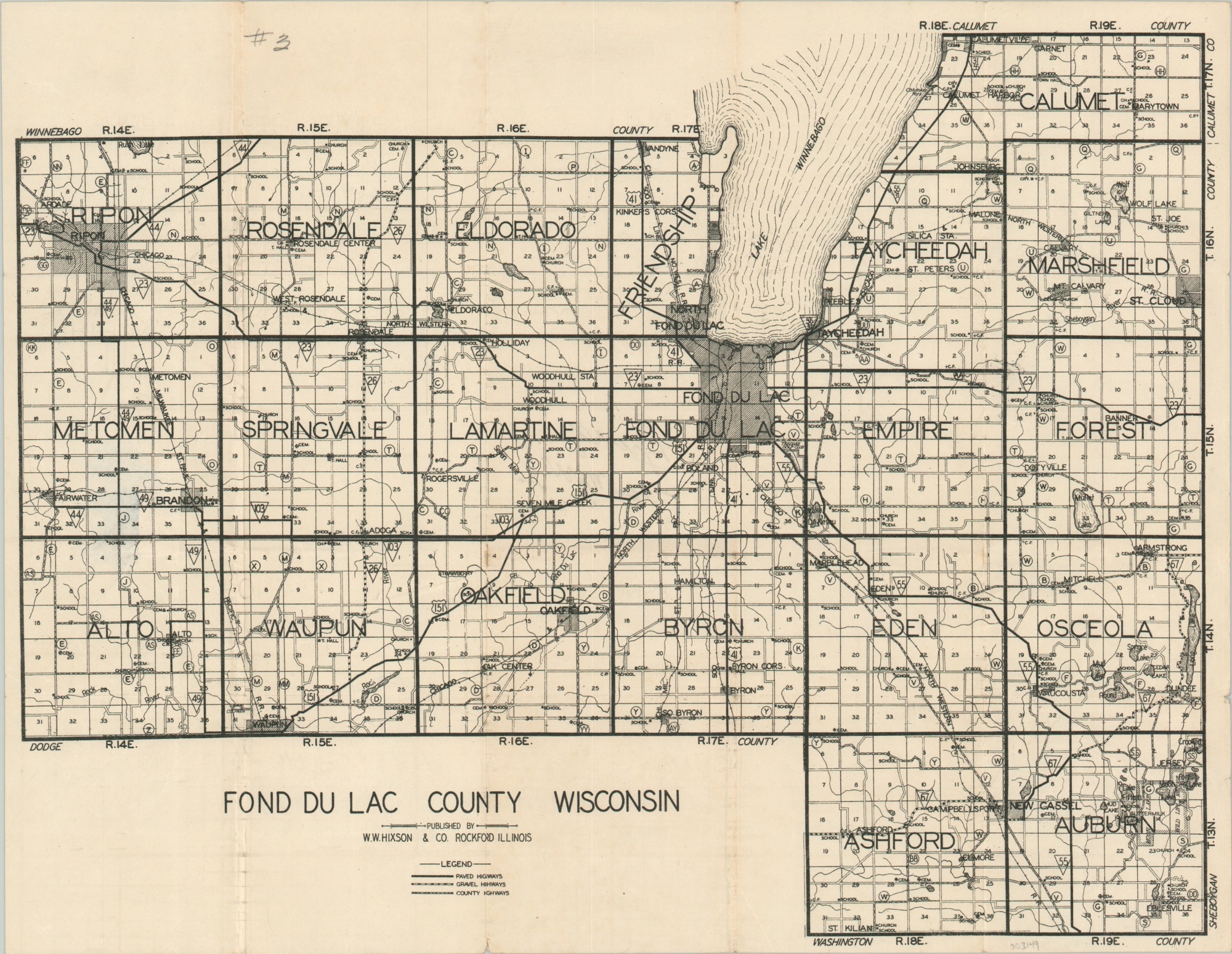
Early 20th century road map of Fond Du Lac County, Wisconsin.
1 in stock
Description
Wisconsin was the first state in America to adopt a system of numbered highways in 1918. This map, published a few years later by W.W. Hixson & Company of Rockford, Illinois, reflects the groundbreaking innovation across Fond du Lac County.
Paved, gravel, and county highways (likely indicating a mix of surfaces) are identified according to the basic legend below the title block. Townships and sections are labeled and numbered, respectively; and geographic features, schools, churches, and cemeteries are also noted within the image.
Map Details
Publication Date: c. 1920
Author: W.W. Hixson & Co.
Sheet Width (in): 15.9
Sheet Height (in): 12.3
Condition: B+
Condition Description: Creasing and wear along former fold lines. A bit of separation at fold intersections has been repaired on the verso with archival tape. Old manuscript writing in black ink on the verso does not affect the image. Small tears and a few extraneous creases along the outer edges.
$80.00
1 in stock