
Florida East Coast Railway
$600.00
A scarce map showing a (nearly) completed Florida East Coast Railway.
1 in stock

Description
This tremendous map of southern Florida, Cuba, and most of the Bahamas presents Henry Flagler’s growing regional transportation empire in the early 1900s. A bright red line denotes the route of the Florida East Coast Railway, connecting Jacksonville to ‘America’s Gibraltar’ at Key West. St. Augustine, Miami, and Palm Beach are among the numerous popular vacation destinations serviced by the route, which included branches to Sanford and Orange City.
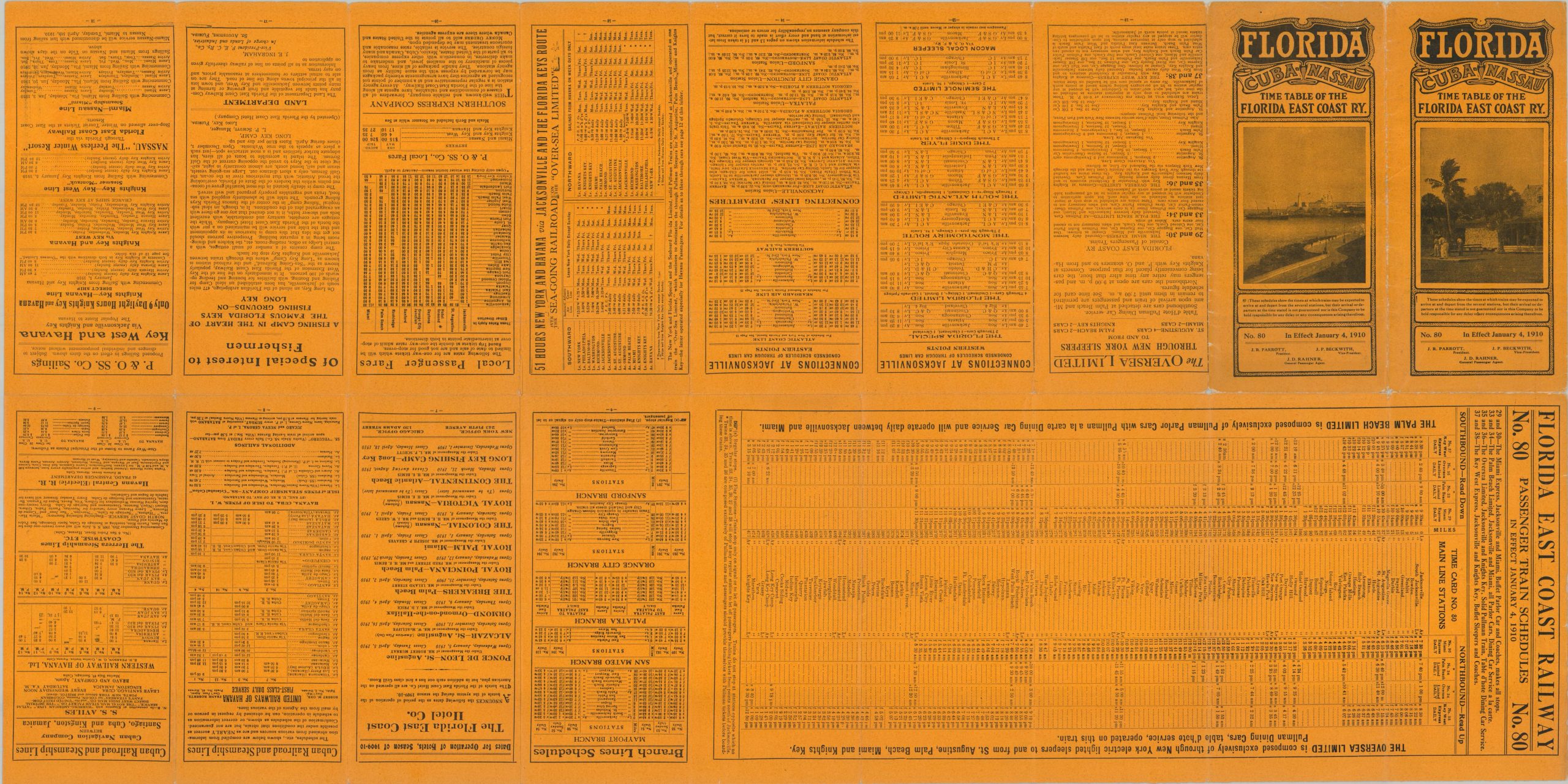
Steamship lines service Havana and Nassau, with a truncated geography giving a misleading impression of their proximity. Further red printing identifies navigational beacons and recommended accommodations, while the right side of the sheet presents an elevation profile of the primary railroad route. The verso of the sheet offers passenger train schedules, information about connecting lines, a fare list, and details ‘of special interest to fishermen.’ The map was printed by the Record Company in St. Augustine, Florida, and published by the Florida East Coast Railway as Passenger Train Schedule No. 8, effective January 4, 1910.
The content of the pamphlet is a bit misleading, as the railway had not yet reached Key West – it would not do so until 1912, when the Overseas Railway was completed. Furthermore, severe devastation from the 1909 hurricane season hampered construction efforts, though there is no mention of delays or limitations. Operational dates for several hotels are provided, though they seem to relate to the seasonal tourist trade rather than a specific recovery period.
The map illustrates the breadth of Flagler’s transportation and development strategy, which extended well beyond the railroad itself. Through the Florida East Coast Railway, connecting steamship services, hotels, and other transportation infrastructure, Flagler sought to link Florida’s east coast into a single tourist and commercial network while opening increasingly remote parts of the state to northern travelers.
Sources: Florida State Parks; City of Key West;
Map Details
Publication Date: 1910
Author: The Record Company
Sheet Width (in): 18.25
Sheet Height (in): 36.25
Condition: B+
Condition Description: Double-sided map brochure, with a color printed map and timetables on the verso (on a yellow sheet). Moderate wear along folds, including some soft creasing, small holes at fold joints, and tiny edge tears. Creased corners and a bit of light surface soiling, consistent with age and use. Good to very good condition overall.
$600.00
1 in stock