
[Five atlas sheets showing Dutch provinces]
A collection of ten early 18th century maps of Dutch provinces.
Out of stock


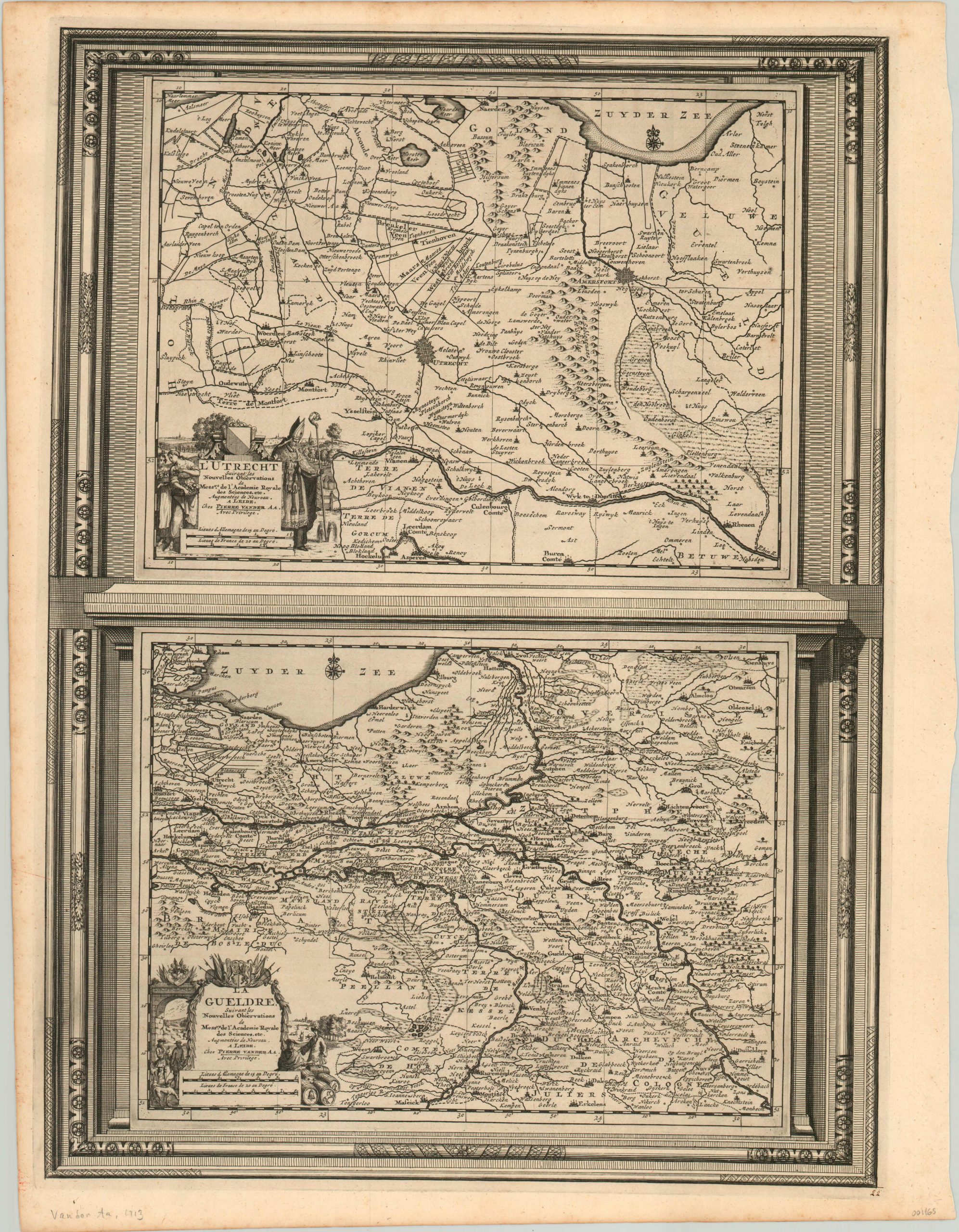
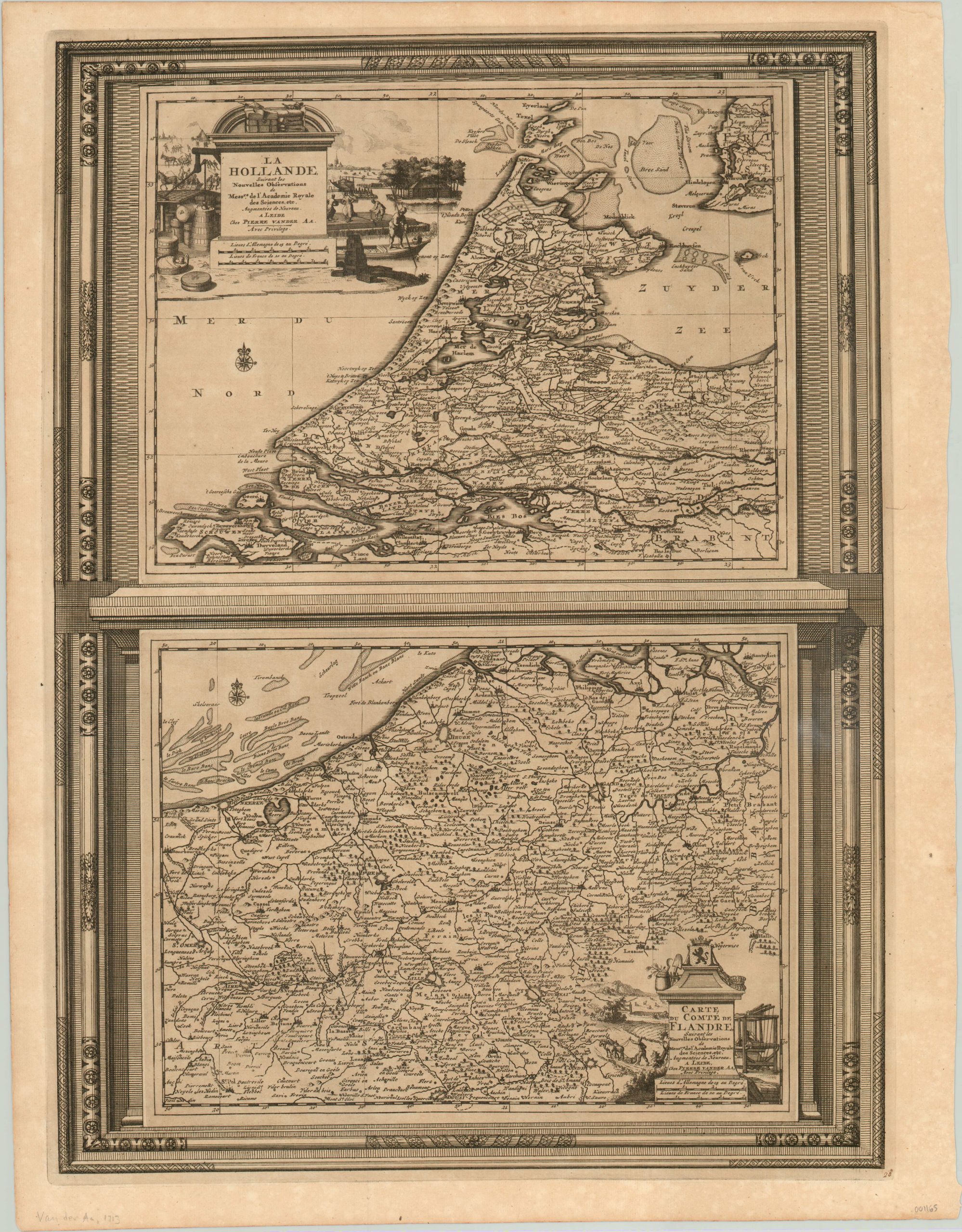
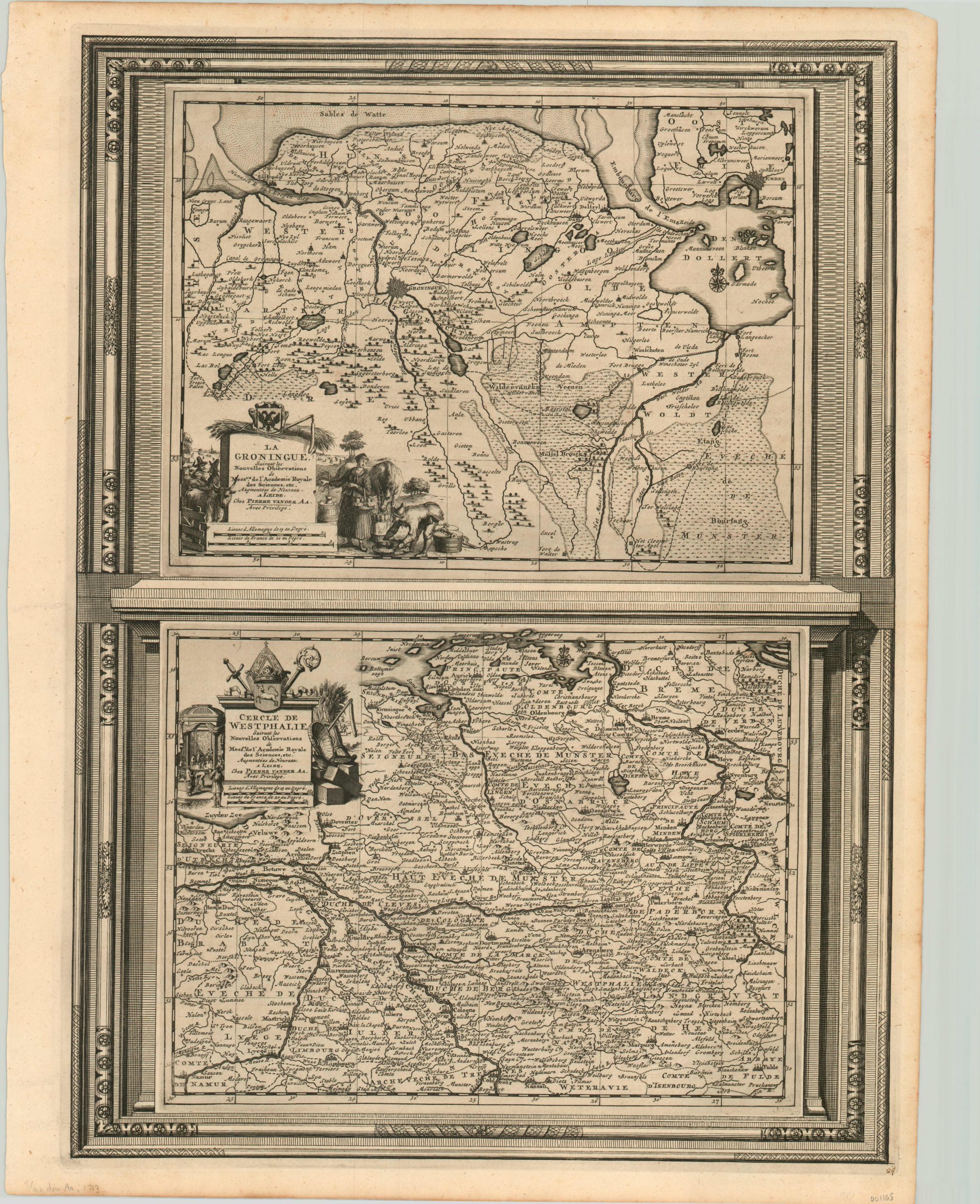
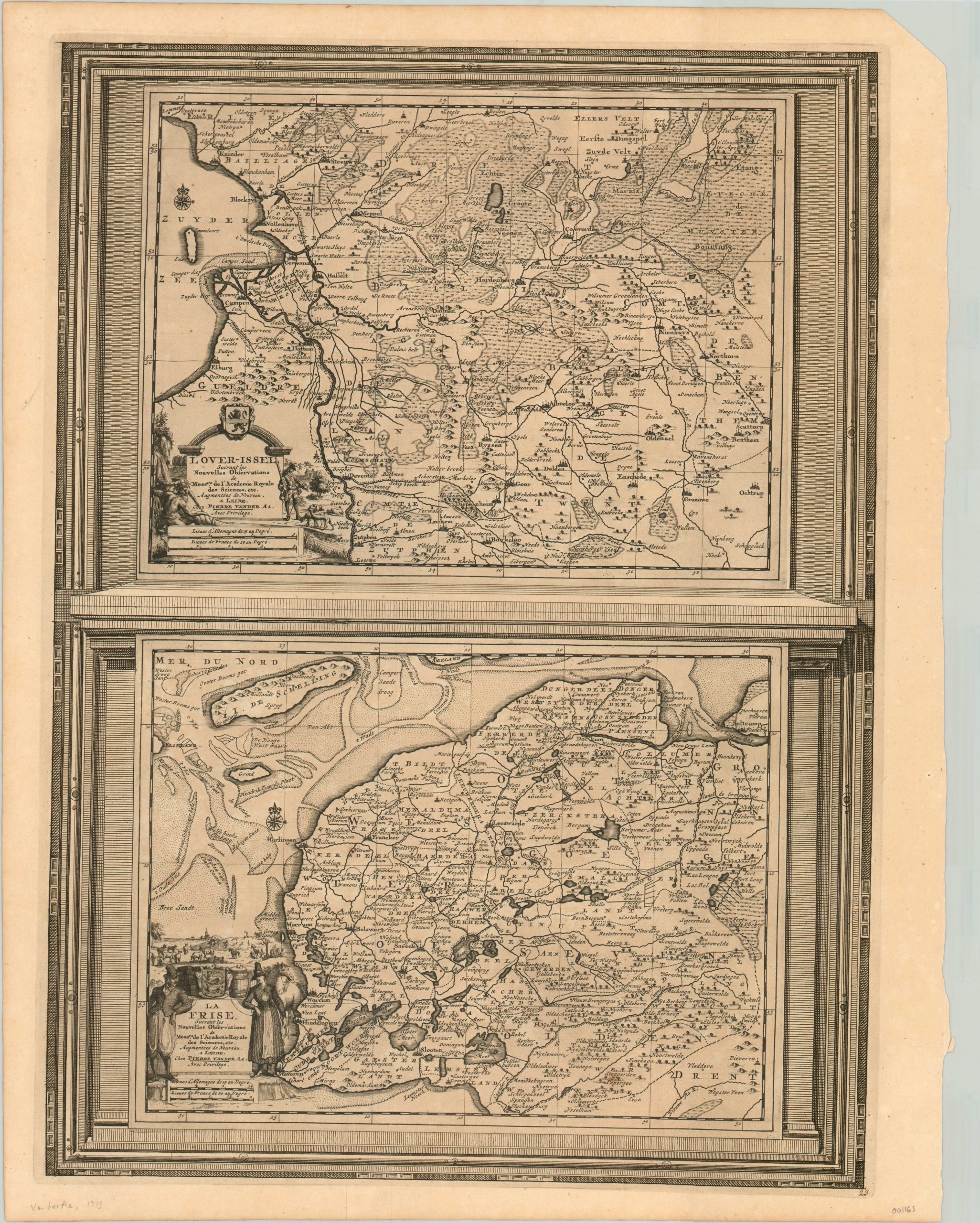
Description
These five sheets were originally published by Pieter Van der Aa in his 1713 Le nouveau Theatre du Monde. Each copperplate engraved plate features a pair of maps of Dutch provinces with elaborate title cartouches and bordered in a decorative frame.
The provinces included in the set are Overijssel/Friesland, Zeeland/Duchy of Limburg, Utrecht/Gelderland, Holland/Flanders, and Groningen/Westphalia.
At the time of publication, the Netherlands were known as the United Provinces, or the Dutch Republic. Despite its relatively small geographic stature, the republic held control over a number of important maritime trade routes and administered a vast colonial empire across the globe. Many of the elements of the map cartouches reference the international composition and economic emphasis of the Dutch empire during its Golden Age.
Map Details
Publication Date: 1713
Author: Pieter van der Aa
Sheet Width (in): 17
Sheet Height (in): 22
Condition: A
Condition Description: Crisp, bold impressions printed on clean sheets. Faint toning from age, and uneven outer edges. Near fine condition overall.
Out of stock