
Finest Fishing in Penn’s Woods
The finest fishing in the whole of The Keystone State.
Out of stock
Description
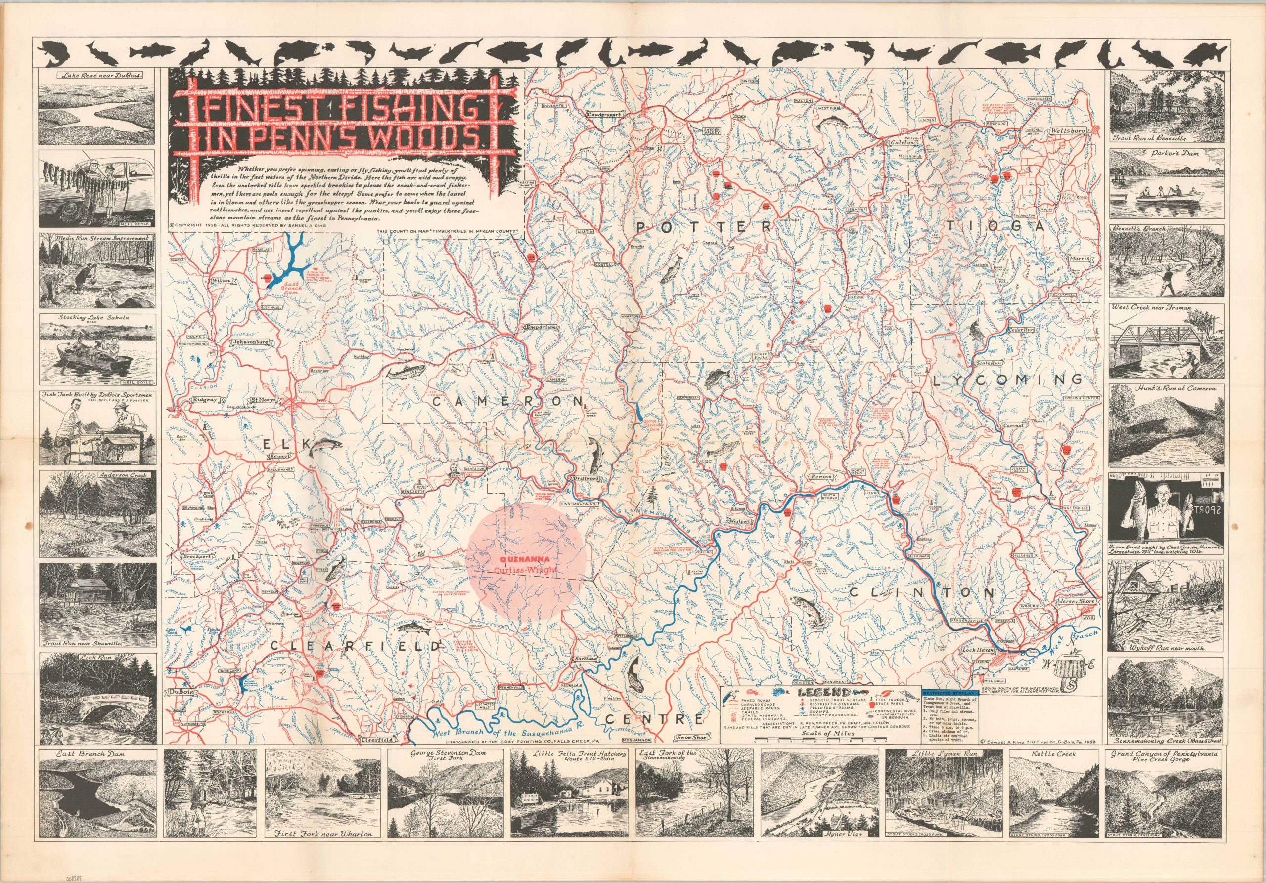
“Whether you prefer spinning, casing, or fly fishing, you’ll find plenty of thrills in the fast waters of the Northern Divide. Here the fish are wild and scrappy. Even the unstocked rills have speckled brookies to please the sneak-and-crawl fisherman, yet there are pools enough for the sleepy!” -Text, upper left.
This striking fishing map of the Pennsylvania Wilds covers several counties across the central part of the state, including Elk, Clearfield, Cameron, Potter, Tioga, Lycoming, and Clinton. The West Branch of the Susquehanna River is shown in bright blue, running along the bottom of the page and ending near a charming thematic compass rose. Other named waterways have their angling potential shown with a variety of small symbols, outlined in the lower right. The border captures numerous illustrated scenes of idyllic tranquility along Pennsylvania’s geologically diverse rivers and creeks.
The local transportation network is also outlined, ranging from paved roads to hiking trails. Polluted streams are noted with small skull & crossbones – potent reflections on conservation prior to the EPA. Also of interest is the large shaded area named Quehanna. In 1955, the Curtiss-Wright Corporation bought 80 square miles of state forest to focus on developing nuclear-powered jet engines.
The map was designed by Samuel A. King and copyrighted in 1958. Published in DuBois, Pennsylvania. King and his wife, Helen, produced several similar promotional maps covering Pennsylvania’s different outdoor areas.
Map Details
Publication Date: 1958
Author: Samuel A. King
Sheet Width (in): 29.75
Sheet Height (in): 20.90
Condition: A-
Condition Description: Creased along old folds and two small stains visible in the margin, plus a small repaired tear. Very good condition overall.
Out of stock