
Extract du “Plan de Paris A Vol D’Oiseau”
$125.00
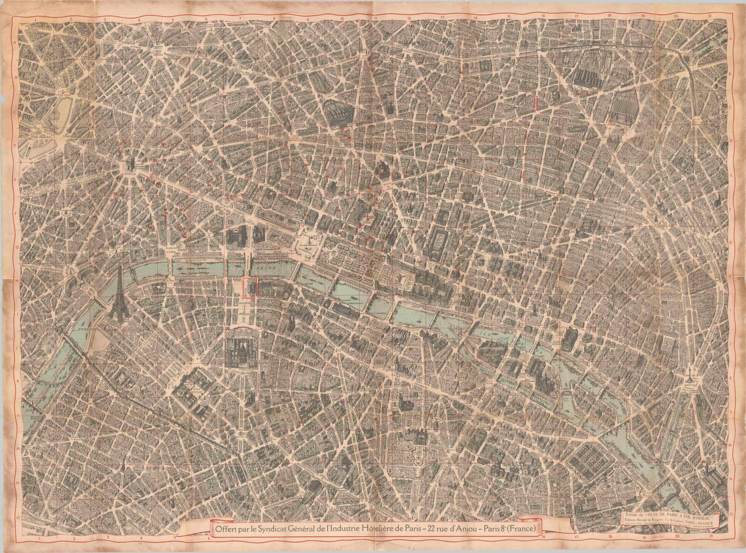
Spectacular bird’s eye view of central Paris, issued for a postwar hospitality conference.
1 in stock
Description
Heavily influenced by the seminal earlier view created by Michel-Étienne Turgot, this spectacular image captures the very essence of Parisian urban grandeur – stunning architecture, broad boulevards, towering cathedrals and important monuments – all overshadowed by the immensity of the Eiffel Tower. The image has been updated by cartographer Georges Peltier to present the postwar skyline and was published in Paris by Blondel la Rougery in 1951. This example, offered by the General Union of the Hotel Industry of Paris (according to text at the bottom), was issued specifically for distribution to participants of the Paris Hotel Association Conference between October 21-27 that year.
The precise aerial perspective presents a magnificent view of the City of Lights in the years following World War II. Scores of buildings, parks, and plazas have been painstakingly illustrated and labeled, offering an incredible snapshot (though also likely reflecting some artistic license) of a Paris trying to get back on its feet after the humiliation of defeat and occupation.
Map Details
Publication Date: 1951
Author: G. Peltier
Sheet Width (in): 32.75
Sheet Height (in): 44
Condition: B-
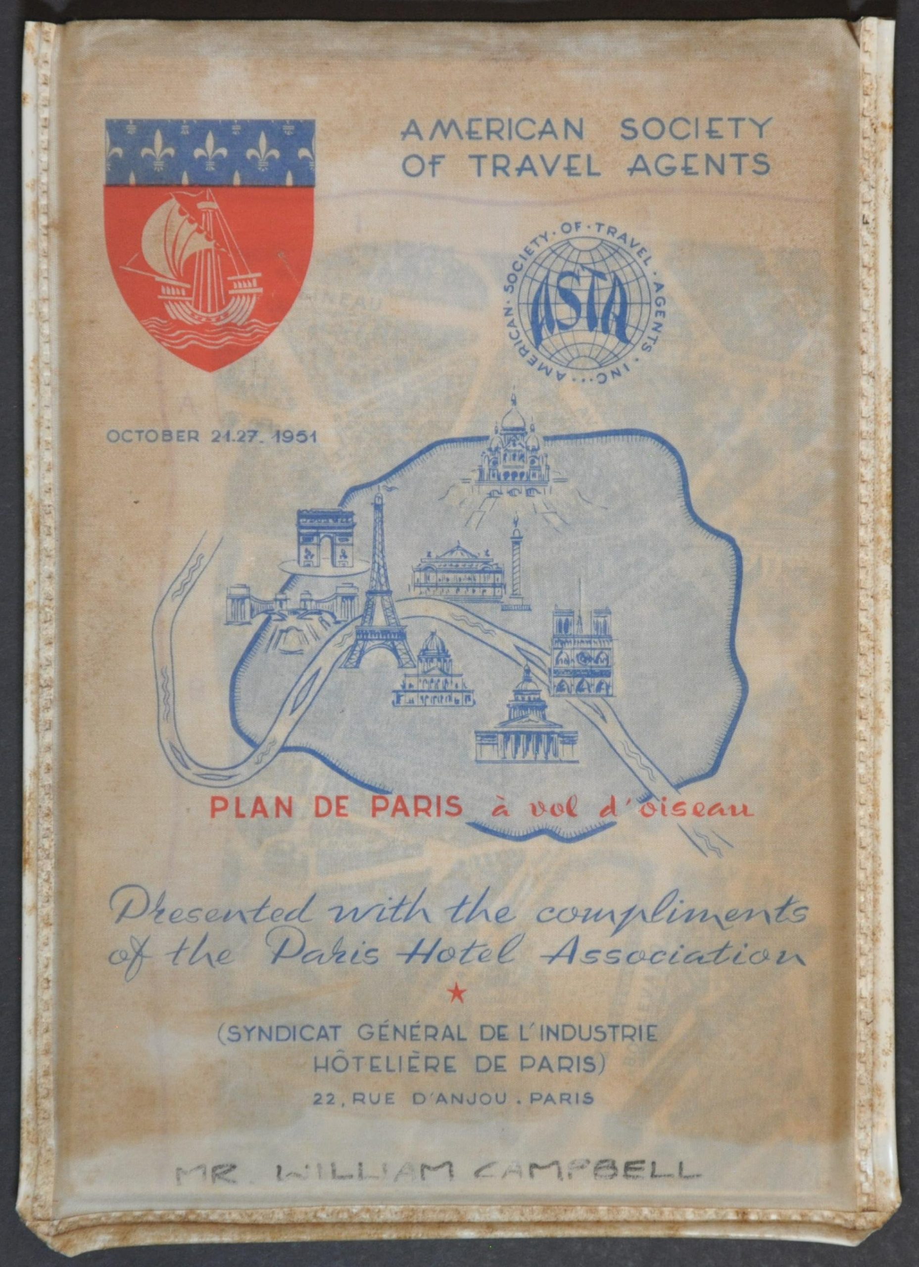
Condition Description: A heavily soiled sheet is creased and worn along original folds, with numerous splits repaired on the verso with archival tape. Very dirty margins, but the image is mostly affected by toning along folds. Includes original plastic envelope, probably the source of much of the discoloration.
$125.00
1 in stock