
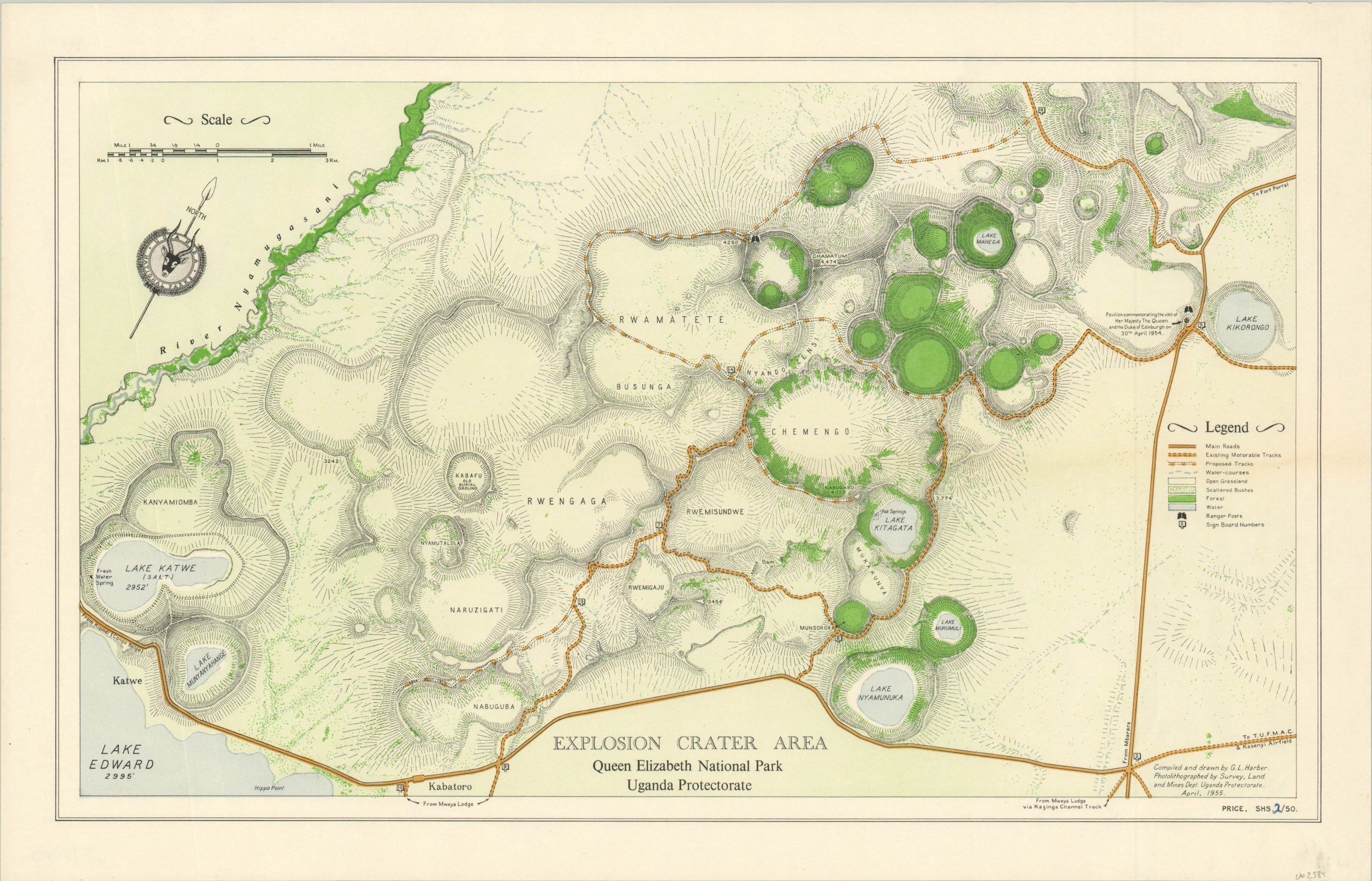
Explosion Crater Area Queen Elizabeth National Park Uganda Protectorate
Colorful lithographed map of a portion of Queen Elizabeth National Park in Uganda.
Out of stock
Description
This lovely park map shows the Explosion Crater Area in Queen Elizabeth National Park. Named as such because they are caused by forceful volcanic eruptions, the broad craters now contain tranquil lakes that are often a primary source of water for a diverse array of wildlife.
Lithographed color identifies areas of forest, scattered bush, water and open grassland. Main and secondary roads, both completed and proposed, are also highlighted within the image. Topography is depicted with simple hachure.
The map was compiled and drawn by G.L. Harber and published in Uganda in 1955.
Map Details
Publication Date: 1955
Author: G.L. Harber
Sheet Width (in): 19.70
Sheet Height (in): 12.60
Condition: A
Condition Description: Faint smudge in the lower right corner of the margin, well away from the image. Near fine overall.
Out of stock