
Examination and Survey of San Bernard River, Texas
$375.00
Late 19th century plans to connect the San Bernard to the Brazos River.
1 in stock

Description
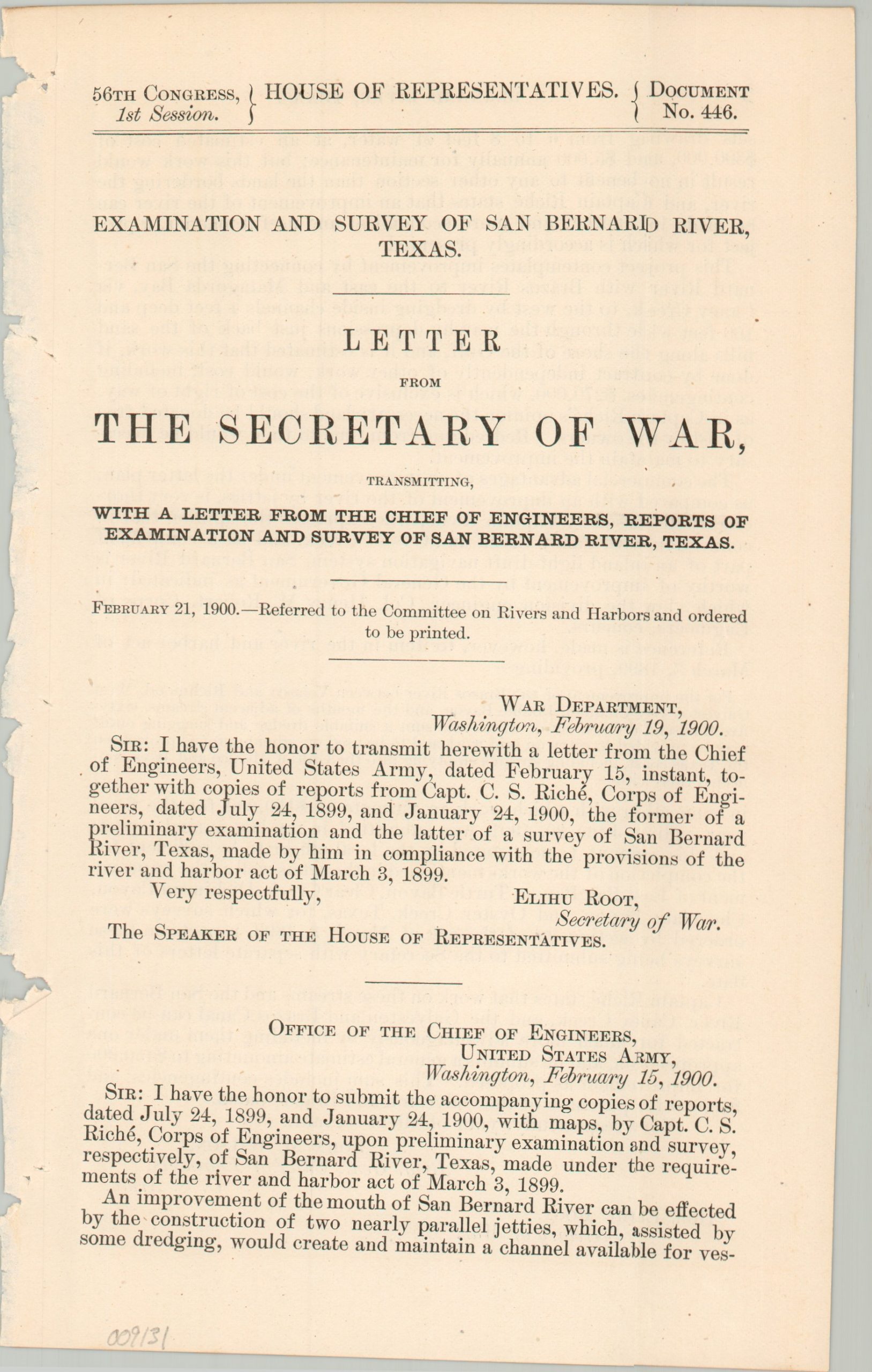
“An improvement of the mouth of the San Bernard River can be affected by the construction of two nearly parallel jetties, which, assisted by some dredging, would create and maintain a channel available for vessels drawing from 6 to 8 feet of water, at an estimated cost of $300,000 and $5,000 annually for maintenance…” – pg. 2.
This interesting map and report were compiled by several members of the Army Corps of Engineers under the direction of Brigadier General John M. Wilson and Captain C.S. Riche. They were originally published in 1900 as part of a comprehensive Congressional report outlining the efforts of the U.S. War Department, which included the improvement and maintenance of America’s strategic waterways. Over a dozen pages of text provide copies of relevant correspondence, cost estimates, and a comprehensible summary of the project. They are supplemented visually by two large fold-out sheets.
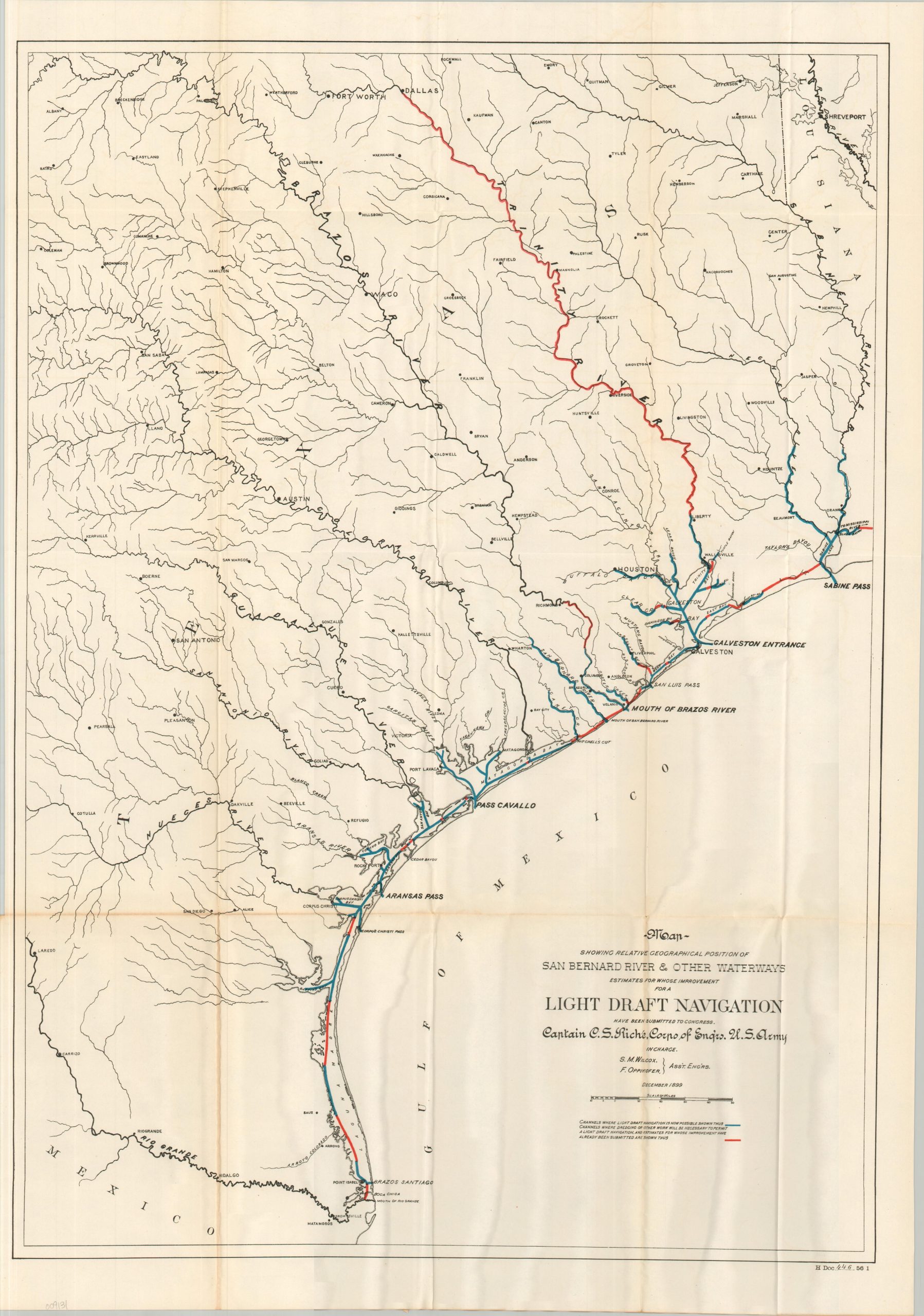
The first, about 56″ x 16.5″, shows the route of a possible shipping channel connecting Cedar Lake (and Matagorda Bay) with the San Bernard River and the Brazos River, near Quintana. A profile of the proposed cut highlights the relatively modest dredging efforts required to obtain 6′ of draft through the waterway. The second map, about 20.5″ x 29.75″, highlights an interconnected system of existing (blue) and planned (red) channels running along the Gulf Coast between Sabine Pass and Brazos Santiago.
The scarce engineering assessment captures a pivotal crossroads in Texas history, published at the height of extensive public investment to improve the commercial navigability of the upper Texas coast for booming global grain and cotton exports. The Corps of Engineers’ highly localized efforts to dredge shallow coastal bayous, creeks, and rivers were dramatically upended by the catastrophic Great Galveston Hurricane in September 1900. The storm’s massive surge and destructive winds physically erased recent engineering progress and crippled the local agricultural economy. In the years that followed, this disaster, compounded by the historic 1901 oil discovery at Spindletop, permanently accelerated a strategic shift away from vulnerable, decentralized river networks toward centralized inland deep-water ports and the unified Gulf Intracoastal Waterway.
Map Details
Publication Date: 1900
Author: U.S. War Department
Sheet Width (in): See Description
Sheet Height (in): See Description
Condition: B+
Condition Description: 17 pages of text and two large fold-outs extracted from an incomplete and broken Congressional report. A rough binding edge and minor toning consistent with age. The maps show sharp creasing and faint discoloration along folds. Good condition overall.
$375.00
1 in stock